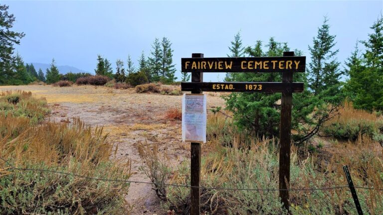
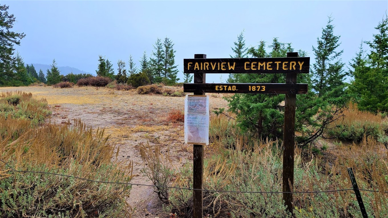
06 – Fairview Cemetery
From Findagrave.com:
This cemetery is located just before Silver City, Idaho turn East onto War Eagle Rd. (Road not marked, you will need a map)The Cemetery is located next to the road on the left. There are only 4 marked headstones in this cemetery, the rest are marked with a single, small stone with an “Unknown” plaque.
More Information
Coordinates: 43.01180, -116.69626
Elevation: 7011 ft
Difficulty: 3
What to Expect:
[reblex id=’779′]
Check In
Use the form below to check in. Check-ins must include a photo of you or your bike at the challenge site with the 2024 bandanna. All participants must be registered IAMC Challenge Members. Leave a description of your ride and share road conditions — snow, water, obstacles, and tips for future riders are all appreciated.
Replying to another person's check-in is encouraged, but take care not to accidentally create your own check-in.
The stated difficulty is an estimate. Rating your experience helps future riders stay safe. You alone are responsible for the safety of your ride.
24 Check-Ins
Moderately well maintained gravel road – beautiful scenery. Interesting inscriptions on the graves.


First stop on my Murphy to Jordan Valley loop ride. Easy side stop to get to with an amazing view.

The road up to War Eagle was a little more rutted and Sandy than I was hoping.. but well worth it!

We left Silver City and went up on the eastern or front side. It's a decent road.


Storm is picking up today. The cemetery is in an odd location, must have been other things around back in the day. It's raining and very cold for August.

Nice ride up from an offshoot trail of the main road trail to Silver City. There were a few original limestone headstones laying flat over the graves.

There are 2 ways to this area. An easy way and a harder way. The harder way comes up from silver city. We started on that trail, and it was pretty fun, but decided not to take it all the way up the mountain. That would be a 4 all day. But we did end up going the easy way after a short separate ride, I'd give it a 1 to get there this way.

Another old cemetery. Who knew. Nice ride. I'll come back and grab the next 2 as I was pressed for time. Struggled on the rating. The ride was pretty easy but if the main Silver City road is a 2 then this is a touch harder. But highly doable on a big bike.

I have stopped here several times over the yesrs. It's always cool to stop and see the old headstones.

The challenge sites around Silver City were not too bad. Make sure you take the second road to get to the top of War Eagle, the first one is a really rough shortcut. Time Ahrens and I thought we could come back on Reynolds Creek road, not knowing that the upper portion is closed because it passes through private land. We wound up making our way down a really rough rutted and rocky road (5) but were fortunate to run into a skilled dirt biker in a RZR who helped us get through the last big hurdle.


The ride up to this point was pretty easy, but it is very pretty up there.


The ride up here is pretty much the same as Miners Cabin. The stretch from the main road going to Silver City up here is a fairly steep incline, but doable on a larger bike. You might not want to take a larger bike up to War Eagle, however.

The Cemetery Tour continues...
The road was in great shape after a night of rain.
So interesting these English folks were buried hear in the 1800's in such difficult terrain. Tough folks back in those days searching for their dream.


Stop 8 on our overnighter out in the Owyhees. Road getting to cemetery was wet from prior night's rain storm. Quite a few water bars, but easy riding. Lots of people from England seem to be buried in many of the cemeteries in Silver City

It just amazes me that people live here in the late 1800”s. These were some tough people. We are all softies compared to our ancestors that lived before us

On the way up to the cabin and War Eagle Peak, almost missed it. Had there not been hikers coming out of the cemetery we'd have driven right by. Lots of snow still melting so there are many muddy area on this road. Nothing too greasy just enough to make you pay attention.


The owners of Count's Cabin (Site 22) said Fairview used to be a town of about 1,500 people during the mining boom. I didn't see anything but the cemetery.
This was very easy to get to. I’d rate it about a 2.2 if I could, but I’m rating it a 3 because it isn’t a wide flat graded gravel road like the other level 2’s I’ve ridden.


Moderately well maintained gravel road – beautiful scenery. Interesting inscriptions on the graves.
Amazing views
First stop on my Murphy to Jordan Valley loop ride. Easy side stop to get to with an amazing view.
The road up to War Eagle was a little more rutted and Sandy than I was hoping.. but well worth it!
We left Silver City and went up on the eastern or front side. It’s a decent road.
I took the back way to War Eagle and hit this site on my way down
Storm is picking up today. The cemetery is in an odd location, must have been other things around back in the day. It’s raining and very cold for August.
Nice ride up from an offshoot trail of the main road trail to Silver City. There were a few original limestone headstones laying flat over the graves.
There are 2 ways to this area. An easy way and a harder way. The harder way comes up from silver city. We started on that trail, and it was pretty fun, but decided not to take it all the way up the mountain. That would be a 4 all day. But we did end up going the easy way after a short separate ride, I’d give it a 1 to get there this way.
Another old cemetery. Who knew. Nice ride. I’ll come back and grab the next 2 as I was pressed for time. Struggled on the rating. The ride was pretty easy but if the main Silver City road is a 2 then this is a touch harder. But highly doable on a big bike.
I have stopped here several times over the yesrs. It’s always cool to stop and see the old headstones.
The challenge sites around Silver City were not too bad. Make sure you take the second road to get to the top of War Eagle, the first one is a really rough shortcut. Time Ahrens and I thought we could come back on Reynolds Creek road, not knowing that the upper portion is closed because it passes through private land. We wound up making our way down a really rough rutted and rocky road (5) but were fortunate to run into a skilled dirt biker in a RZR who helped us get through the last big hurdle.
Fairly easy ride
The ride up to this point was pretty easy, but it is very pretty up there.
First stop on Friday’s ride. What a beautiful place! 2 on this bike.
First time stopping
nice ride up the hill
The ride up here is pretty much the same as Miners Cabin. The stretch from the main road going to Silver City up here is a fairly steep incline, but doable on a larger bike. You might not want to take a larger bike up to War Eagle, however.
The Cemetery Tour continues…
The road was in great shape after a night of rain.
So interesting these English folks were buried hear in the 1800’s in such difficult terrain. Tough folks back in those days searching for their dream.
Stop 8 on our overnighter out in the Owyhees. Road getting to cemetery was wet from prior night’s rain storm. Quite a few water bars, but easy riding. Lots of people from England seem to be buried in many of the cemeteries in Silver City
It just amazes me that people live here in the late 1800”s. These were some tough people. We are all softies compared to our ancestors that lived before us
On the way up to the cabin and War Eagle Peak, almost missed it. Had there not been hikers coming out of the cemetery we’d have driven right by. Lots of snow still melting so there are many muddy area on this road. Nothing too greasy just enough to make you pay attention.
Finally able to get up this road. Easy to this section.
The owners of Count’s Cabin (Site 22) said Fairview used to be a town of about 1,500 people during the mining boom. I didn’t see anything but the cemetery.
This was very easy to get to. I’d rate it about a 2.2 if I could, but I’m rating it a 3 because it isn’t a wide flat graded gravel road like the other level 2’s I’ve ridden.
Comments are closed.