
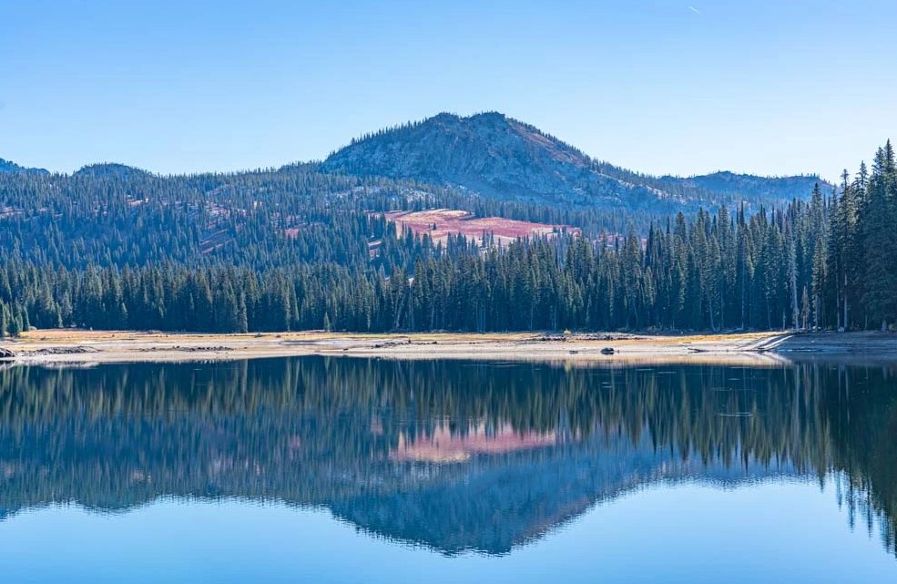
35 – Twin Peaks
Get high! This is our highest elevation checkpoint.
More Information
Coordinates: 44.59326, -114.47639
Elevation: 10312 ft
Difficulty: 3
What to Expect: No Info
[reblex id=’779′]
Check In
Use the form below to check in. Check-ins must include a photo of you or your bike at the challenge site with the 2024 bandanna. All participants must be registered IAMC Challenge Members. Leave a description of your ride and share road conditions — snow, water, obstacles, and tips for future riders are all appreciated.
Replying to another person's check-in is encouraged, but take care not to accidentally create your own check-in.
The stated difficulty is an estimate. Rating your experience helps future riders stay safe. You alone are responsible for the safety of your ride.
7 Check-Ins

4 wheels would be much better for the top bit. The top is definitely a 4.


I'm not going to lie, this was hard. It's a solid 4 on a big bike because of the length and the rocks. We got as far as the last switchbacks and turned around as my 29" inseam on a 33" bike with pretty steep cliffs on one side and bike deflecting rocks all the way up seemed like a bad idea. Once you get to the final switchback before the really tight ones at the top, it gets seriously scary! We may go back in the fall with more appropriate smaller bikes.


Unfortunately there is a land slide blocking the road 1.5 miles from the bottom. Can only go that far until it is fixed. Came in from the Custer motorway and it is very remote.


I would say a solid 4 on this road, be careful.
4 wheels would be much better for the top bit. The top is definitely a 4.
This was pretty hard. We got close to the top.
I’m not going to lie, this was hard. It’s a solid 4 on a big bike because of the length and the rocks. We got as far as the last switchbacks and turned around as my 29″ inseam on a 33″ bike with pretty steep cliffs on one side and bike deflecting rocks all the way up seemed like a bad idea. Once you get to the final switchback before the really tight ones at the top, it gets seriously scary! We may go back in the fall with more appropriate smaller bikes.
Road closed due to land slide.
Unfortunately there is a land slide blocking the road 1.5 miles from the bottom. Can only go that far until it is fixed. Came in from the Custer motorway and it is very remote.
Road is washed out. Made it as far as I could.
Comments are closed.