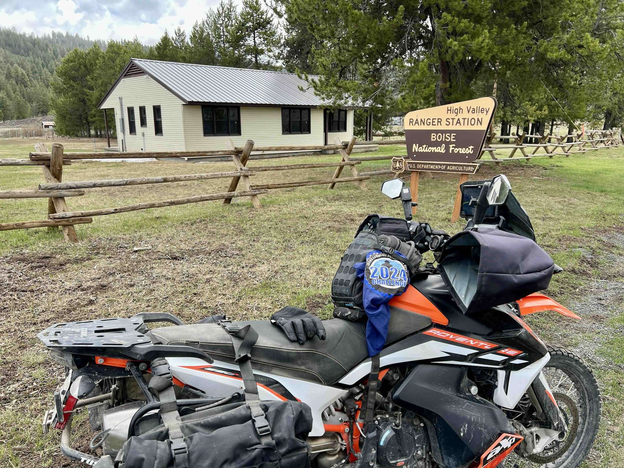
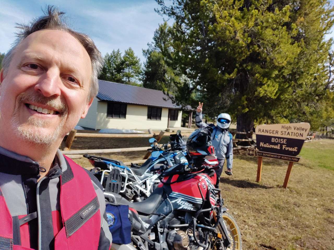
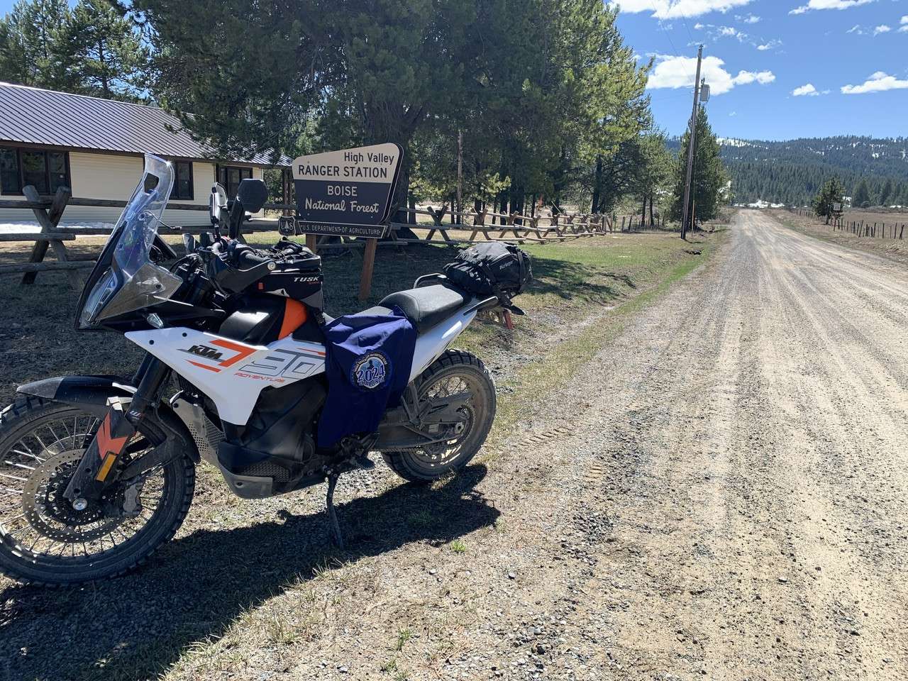
42 – High Valley Guard Station
No information
More Information
None
Coordinates: 44.21263, -116.15307
Elevation: 4879 ft
Difficulty: 2
What to Expect: No Info
[reblex id=’779′]
Check In
Use the form below to check in. Check-ins must include a photo of you or your bike at the challenge site with the 2024 bandanna. All participants must be registered IAMC Challenge Members. Leave a description of your ride and share road conditions — snow, water, obstacles, and tips for future riders are all appreciated.
Replying to another person's check-in is encouraged, but take care not to accidentally create your own check-in.
The stated difficulty is an estimate. Rating your experience helps future riders stay safe. You alone are responsible for the safety of your ride.
19 Check-Ins


Great ride today, although a little smoky. I came in from the south through Banks. This is a solid 2.5 in difficulty. If you want to approach from Smiths Ferry it's a bit easier. Both ways this is doable on an adventure bike. I recommend doing the whole loop clockwise.


Fun ride up past banks and around down to Emmet. Very smokey however. Couldn't see much of the view.


Justin Wilke we must have just missed each other! Hot day indeed!! As far as the site goes, I have to say that I'm a little saddened that places like this one aren't staffed anymore. Hell, it's hard enough nowadays to find a Ranger District Office open and staffed anymore.


Last stop on a long, hot day. I went from Smiths Ferry over and down into Ola.

Stopped by High Valley on the way home from my place in Donnelly today...


First stop on my day ride through Sweet and Ola, Garden Valley, Lowman and Idaho City. Fun ride but a lot of logging trucks to avoid all the way from Ola to Couger Mt. lodge.

Perfect big bike loop. Boise to Smiths Ferry, Climb up and over the hill and backtrack to High Valley. Check'in then drop down to Sweet, then Emmett, then Boise. Great Sunday morning loop.

Nice ride from Eagle up through Sweet on Dry Buck to the challenge site. When you map your route you might see there is a Dry Buck trail and Dry Buck Rd up near the challenge site which can be confusing as both seem to connect to the destination. The Dry Creek Rd (marked in Red) passes through private property so you will want to avoid that and stick to the Dry Creek trail. See screen shot for reference. There were some very large mosquitos at the guard station location.


Really easy ride coming up from Sweet via dry buck road. Threatening thunderstorms forced us to do an out and back and not get to explore much more, I'll be back to explore trails.

Beautiful ride from Paddock Dam to High Valley via the Ola side. Perfect weather and there was no snow to contend with. Nice to ride among the pines and some cooler weather. Dropped over to Smiths Ferry and rode slab home to end a ~250 mile day.

Nice weather to High Valley Guard Station. Came in from the Ola side, road was dry, with a few mud ruts and usual washboard starting to form up. Headed south to go over Dry Buck Summit but turned around about a mile after the Guard Station after chatting with a couple people riding horses. They indicated the road was still impassible. I was pressed for time and riding solo so I decided not to continue. Turned around and rode N to Smiths Ferry. High Valley Road (NF644) to Smiths Ferry was in good shape with only a couple of small patches of snow remaining with car tracks through them.

Getting up in the fir and pine forest today was very nice. There is still snow along the hillside and edges of the road but the road is clear of snow, although it is a bit soft slick, and muddy in places with fair size ruts. I got out of there quickly when it started raining.
Beautiful and smelled so good with all the flowers and pines. Road was dry and no snow.
Easy ride up to the guard station.
Came in form Smiths Ferry
Great ride today, although a little smoky. I came in from the south through Banks. This is a solid 2.5 in difficulty. If you want to approach from Smiths Ferry it’s a bit easier. Both ways this is doable on an adventure bike. I recommend doing the whole loop clockwise.
Fun ride up past banks and around down to Emmet. Very smokey however. Couldn’t see much of the view.
Hot day 104 in the valley.
nice ride, cooler in High Valley.
Justin Wilke we must have just missed each other! Hot day indeed!! As far as the site goes, I have to say that I’m a little saddened that places like this one aren’t staffed anymore. Hell, it’s hard enough nowadays to find a Ranger District Office open and staffed anymore.
Last stop on a long, hot day. I went from Smiths Ferry over and down into Ola.
Stopped by High Valley on the way home from my place in Donnelly today…
Came in from Ola.
Bit dusty last few miles and very hot today.
First stop on my day ride through Sweet and Ola, Garden Valley, Lowman and Idaho City. Fun ride but a lot of logging trucks to avoid all the way from Ola to Couger Mt. lodge.
Perfect big bike loop. Boise to Smiths Ferry, Climb up and over the hill and backtrack to High Valley. Check’in then drop down to Sweet, then Emmett, then Boise. Great Sunday morning loop.
Nice ride from Eagle up through Sweet on Dry Buck to the challenge site. When you map your route you might see there is a Dry Buck trail and Dry Buck Rd up near the challenge site which can be confusing as both seem to connect to the destination. The Dry Creek Rd (marked in Red) passes through private property so you will want to avoid that and stick to the Dry Creek trail. See screen shot for reference. There were some very large mosquitos at the guard station location.
Really easy ride coming up from Sweet via dry buck road. Threatening thunderstorms forced us to do an out and back and not get to explore much more, I’ll be back to explore trails.
Beautiful ride from Paddock Dam to High Valley via the Ola side. Perfect weather and there was no snow to contend with. Nice to ride among the pines and some cooler weather. Dropped over to Smiths Ferry and rode slab home to end a ~250 mile day.
Nice weather to High Valley Guard Station. Came in from the Ola side, road was dry, with a few mud ruts and usual washboard starting to form up. Headed south to go over Dry Buck Summit but turned around about a mile after the Guard Station after chatting with a couple people riding horses. They indicated the road was still impassible. I was pressed for time and riding solo so I decided not to continue. Turned around and rode N to Smiths Ferry. High Valley Road (NF644) to Smiths Ferry was in good shape with only a couple of small patches of snow remaining with car tracks through them.
Getting up in the fir and pine forest today was very nice. There is still snow along the hillside and edges of the road but the road is clear of snow, although it is a bit soft slick, and muddy in places with fair size ruts. I got out of there quickly when it started raining.
Beautiful and smelled so good with all the flowers and pines. Road was dry and no snow.
Road is clear of all snow from the Ola side. Great ride and good weather
Comments are closed.