
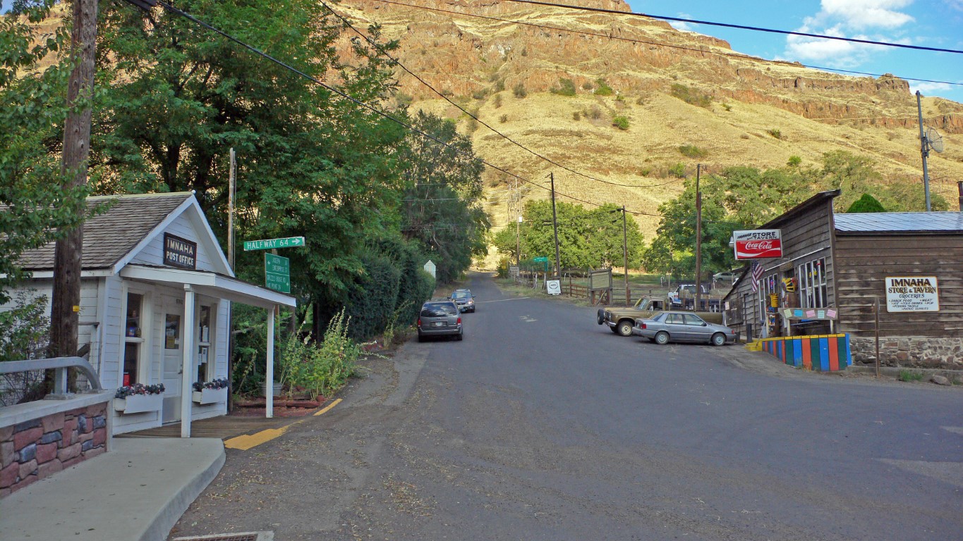
44 – Imnaha
Imnaha is an unincorporated community in Wallowa County, Oregon. It’s located at the confluence of the Imnaha River and Big Sheep Creek, at an elevation of 1,978 feet.
Imnaha has a Mediterranean climate with hot, dry summers. It’s known as the gateway to the Hat Point scenic lookout on Hells Canyon at the Snake River. The area was historically an important wintering site for the Nez Perce and their herds of horses
More Information
https://en.wikipedia.org/wiki/Imnaha,_Oregon
https://www.wallowacountychamber.com/imnaha-hat-point/
Coordinates: 45.55933, -116.83336
Elevation: 1971 ft
Difficulty: 2
What to Expect: No info
[reblex id=’779′]
Check In
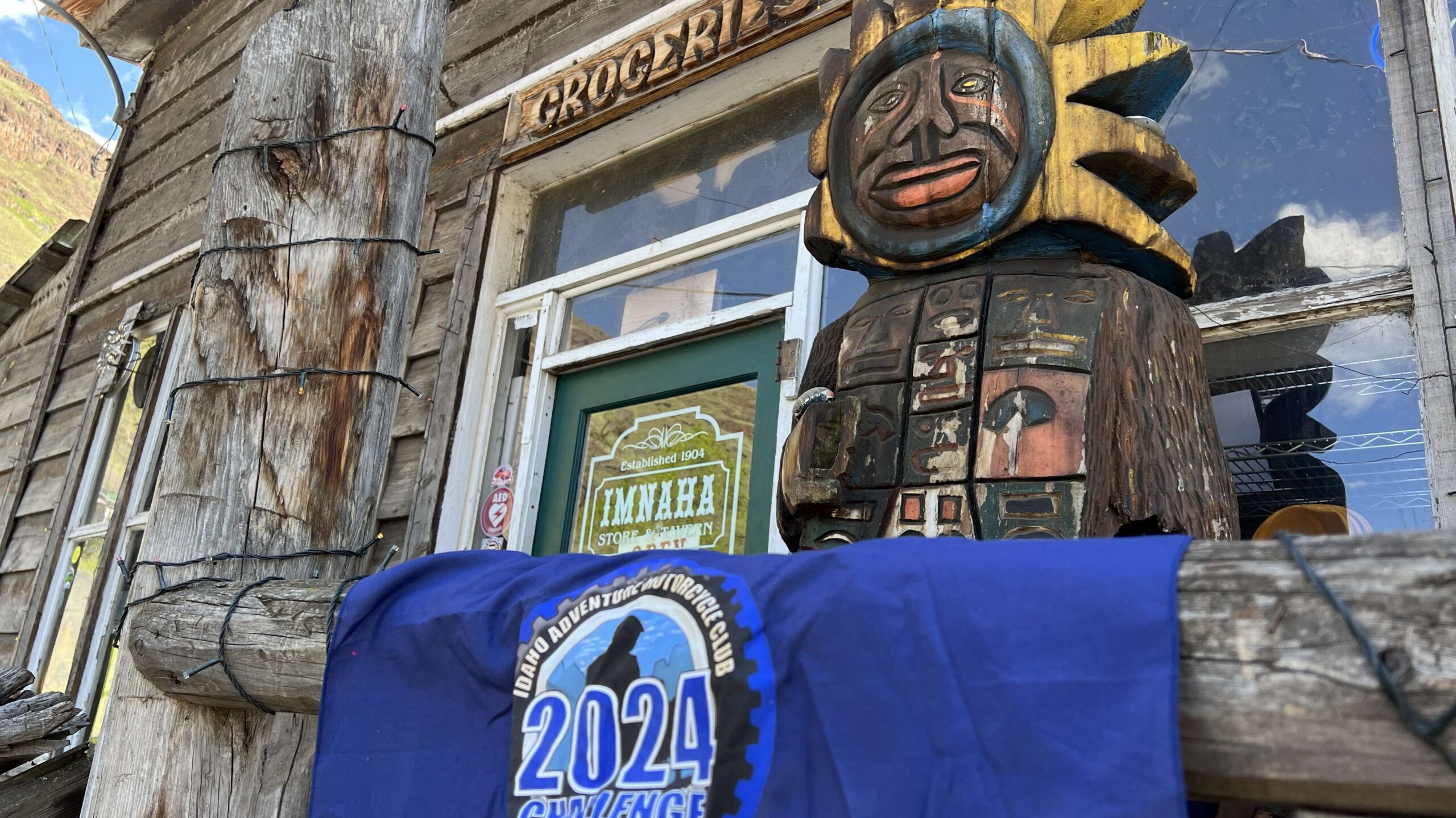
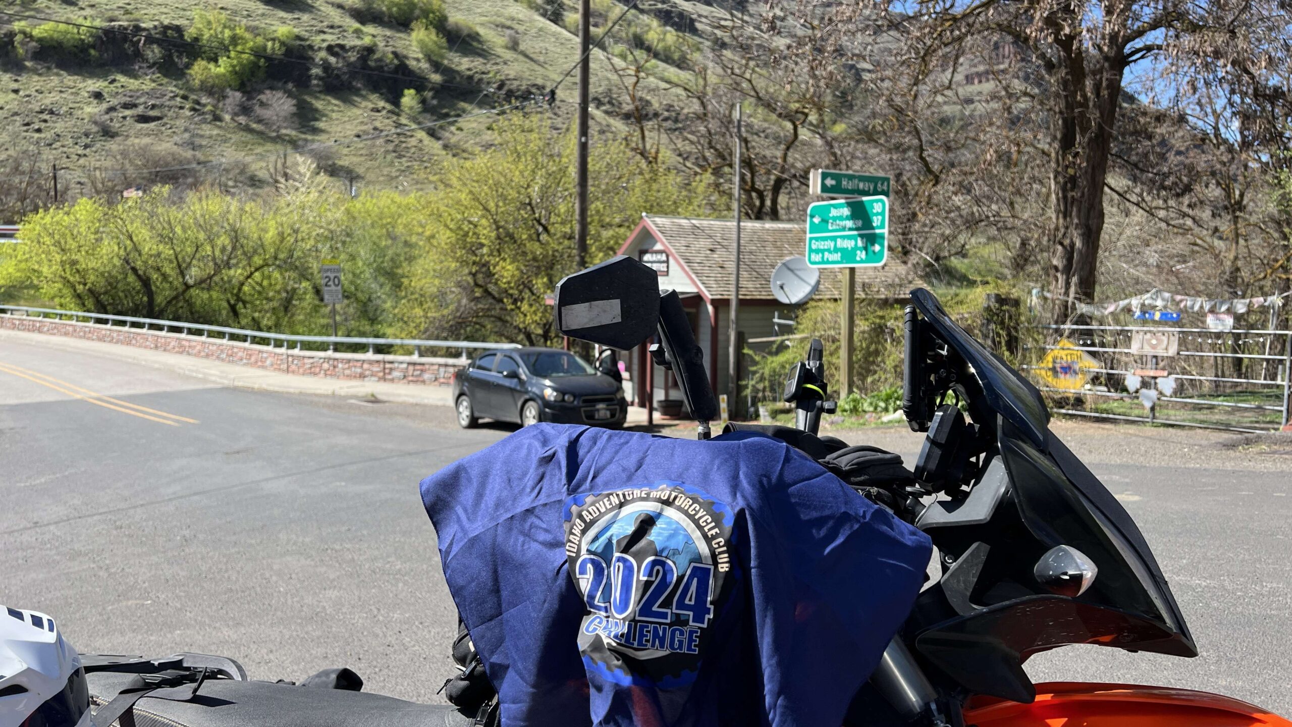
Use the form below to check in. Check-ins must include a photo of you or your bike at the challenge site with the 2024 bandanna. All participants must be registered IAMC Challenge Members. Leave a description of your ride and share road conditions — snow, water, obstacles, and tips for future riders are all appreciated.
Replying to another person's check-in is encouraged, but take care not to accidentally create your own check-in.
The stated difficulty is an estimate. Rating your experience helps future riders stay safe. You alone are responsible for the safety of your ride.
6 Check-Ins

Came up the 39 Road from Oxbow, then followed the river road north. No gas at Imnaha, so we had to ride to Joseph to fill up and take the 39 Road all the way back. Had a great dinner at Hells Canyon Inn. One of those epic ride days where you get home at 10:30. 🙂

The guy at the gas station said there wasn’t anything at Imnaha. He was right. They do serve a nice lunch though.


I rode to Imnaha today on the pavement from Joseph. From Imnaha, I headed southeast up the river on the gravel upper Imnaha Road. It is an absolutely beautiful ride for 30 miles until you hit paved road 39. Trouble is, road 39 was snowed in in both directions at 4300 ft elevation so I retreated back all the way to Imnaha. I saw more deer and elk along this route than I’ve seen in a long time.
Nice ride along the river
Came up the 39 Road from Oxbow, then followed the river road north. No gas at Imnaha, so we had to ride to Joseph to fill up and take the 39 Road all the way back. Had a great dinner at Hells Canyon Inn. One of those epic ride days where you get home at 10:30. 🙂
The guy at the gas station said there wasn’t anything at Imnaha. He was right. They do serve a nice lunch though.
Managed to get a flat on the way out of Imnaha.
Nice place to stop
I rode to Imnaha today on the pavement from Joseph. From Imnaha, I headed southeast up the river on the gravel upper Imnaha Road. It is an absolutely beautiful ride for 30 miles until you hit paved road 39. Trouble is, road 39 was snowed in in both directions at 4300 ft elevation so I retreated back all the way to Imnaha. I saw more deer and elk along this route than I’ve seen in a long time.
Comments are closed.