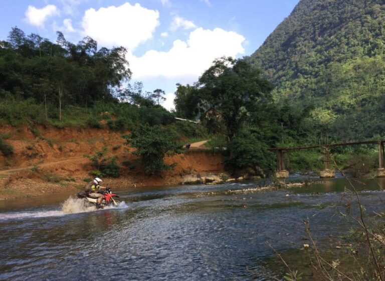

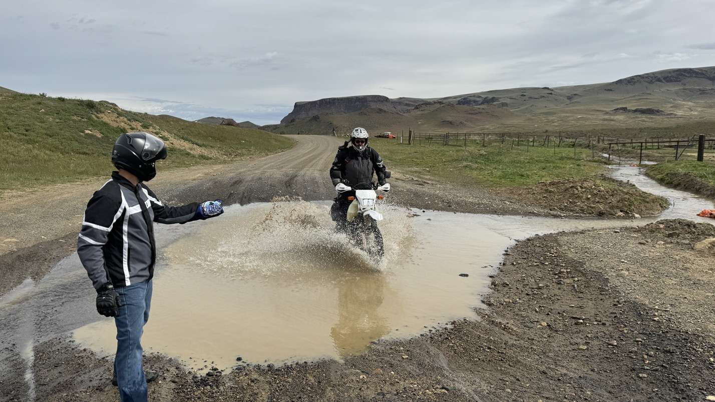
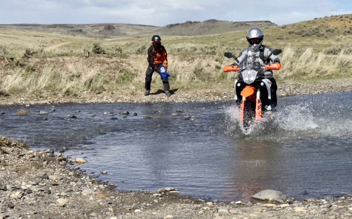
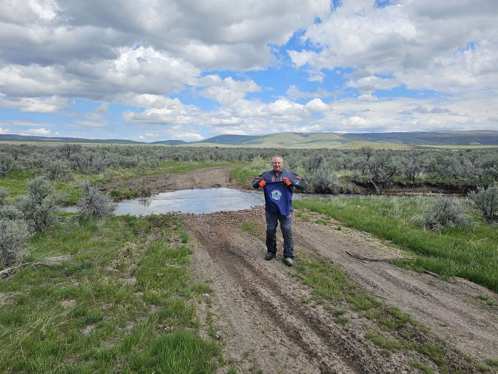
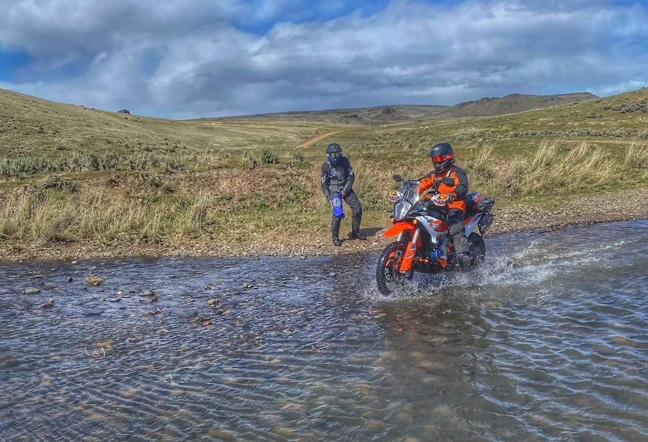
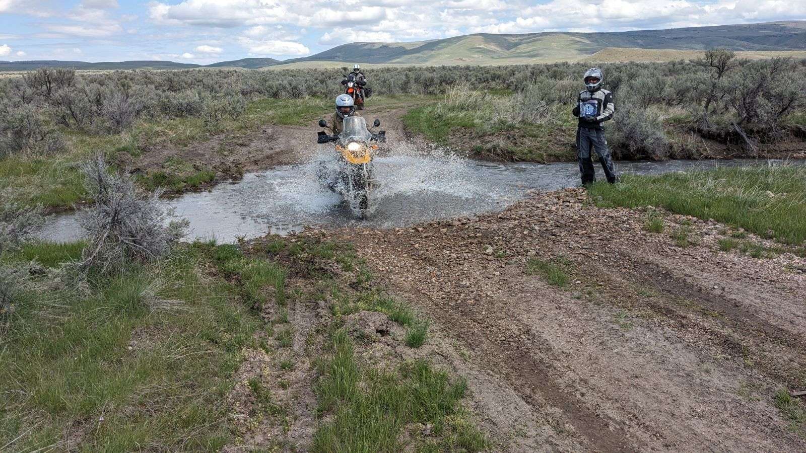
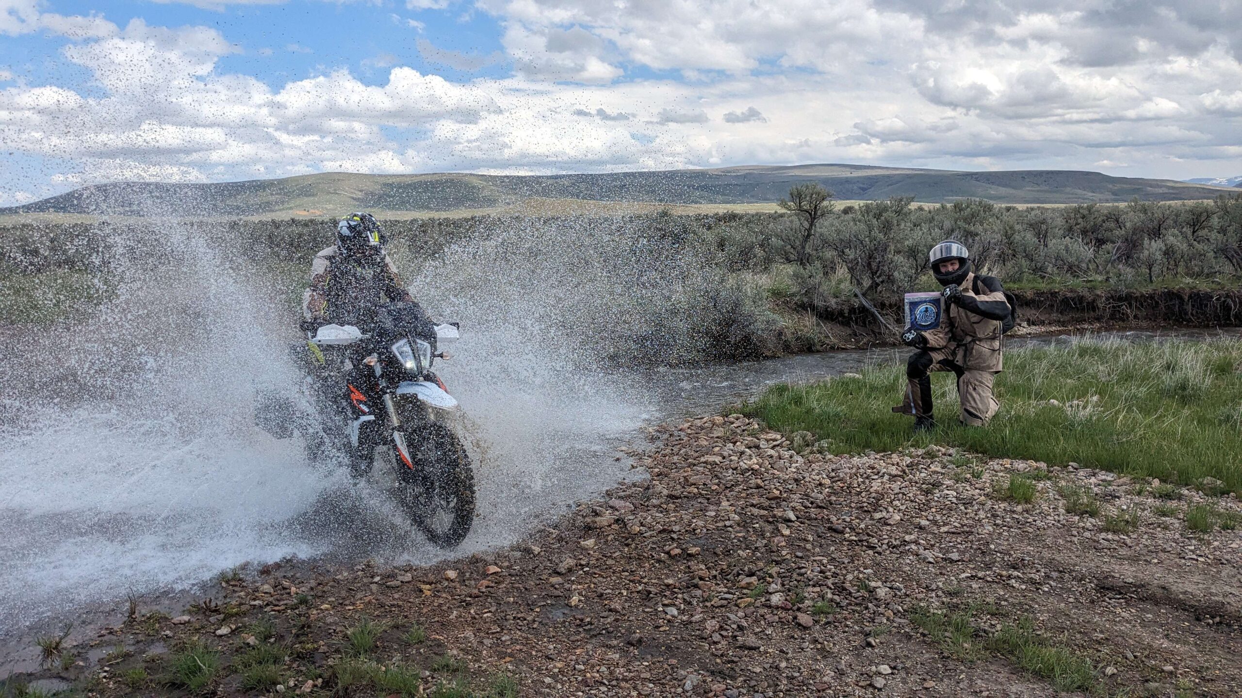
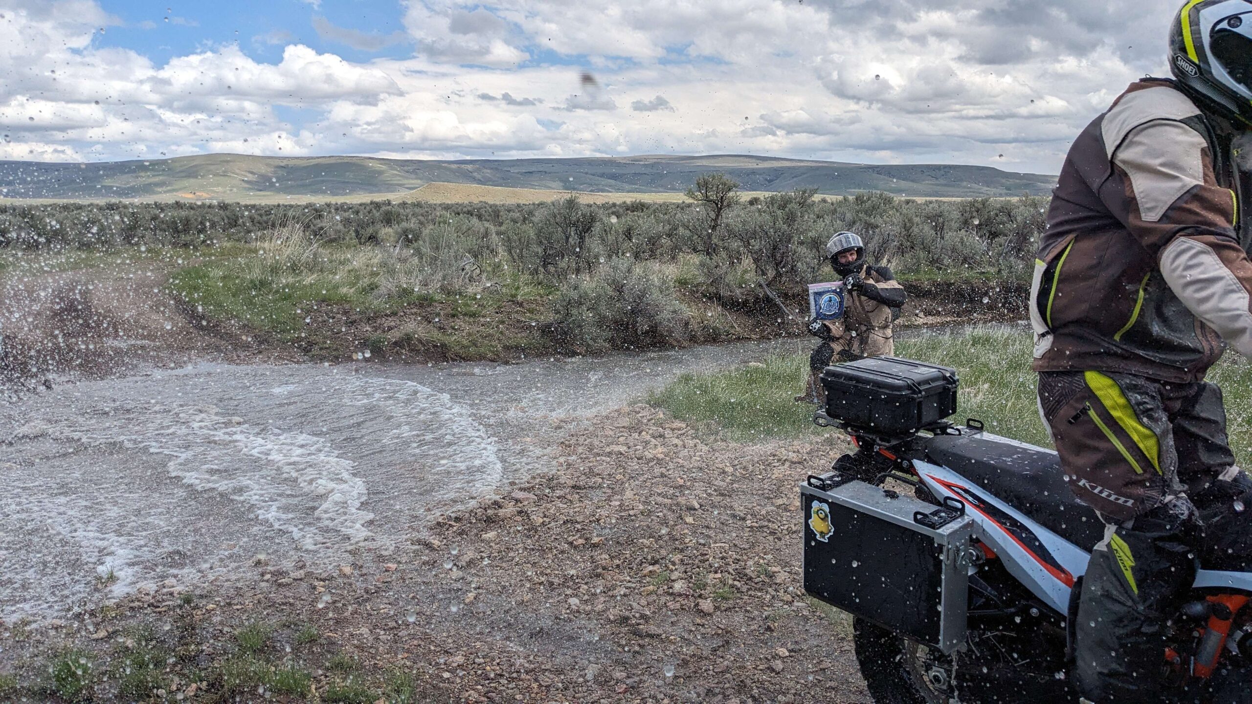
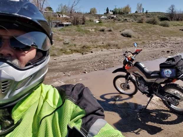
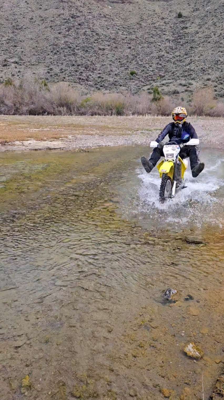
49 – Water Crossing
Just as the name suggests, this checkpoint is any water crossing. How deep do you need to go? How wet do you need to get? That’s up to you! The idea is to push your limits and have fun. Bonus points if you tip over.
More Information
Additional Info
Coordinates: ????, ????
Elevation: ???? ft
Difficulty: 1-5
What to Expect: Minor chafing
[reblex id=’779′]
Check In
Use the form below to check in. Check-ins must include a photo of you or your bike at the challenge site with the 2024 bandanna. All participants must be registered IAMC Challenge Members. Leave a description of your ride and share road conditions — snow, water, obstacles, and tips for future riders are all appreciated.
Replying to another person's check-in is encouraged, but take care not to accidentally create your own check-in.
The stated difficulty is an estimate. Rating your experience helps future riders stay safe. You alone are responsible for the safety of your ride.
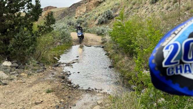
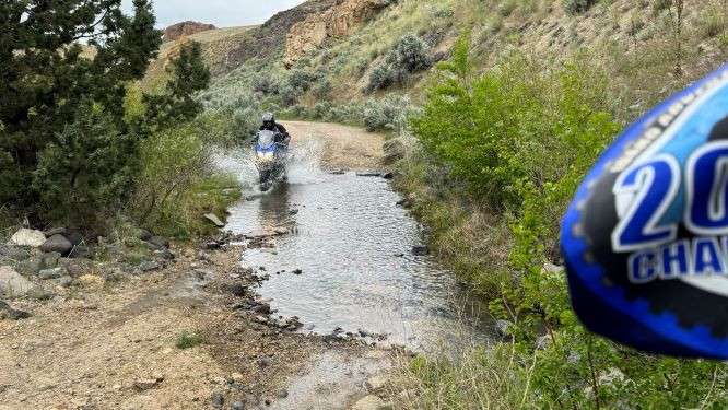
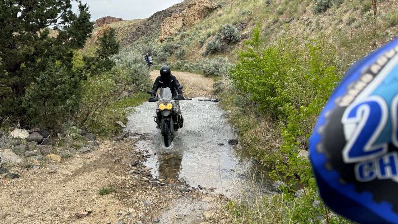
29 Check-Ins
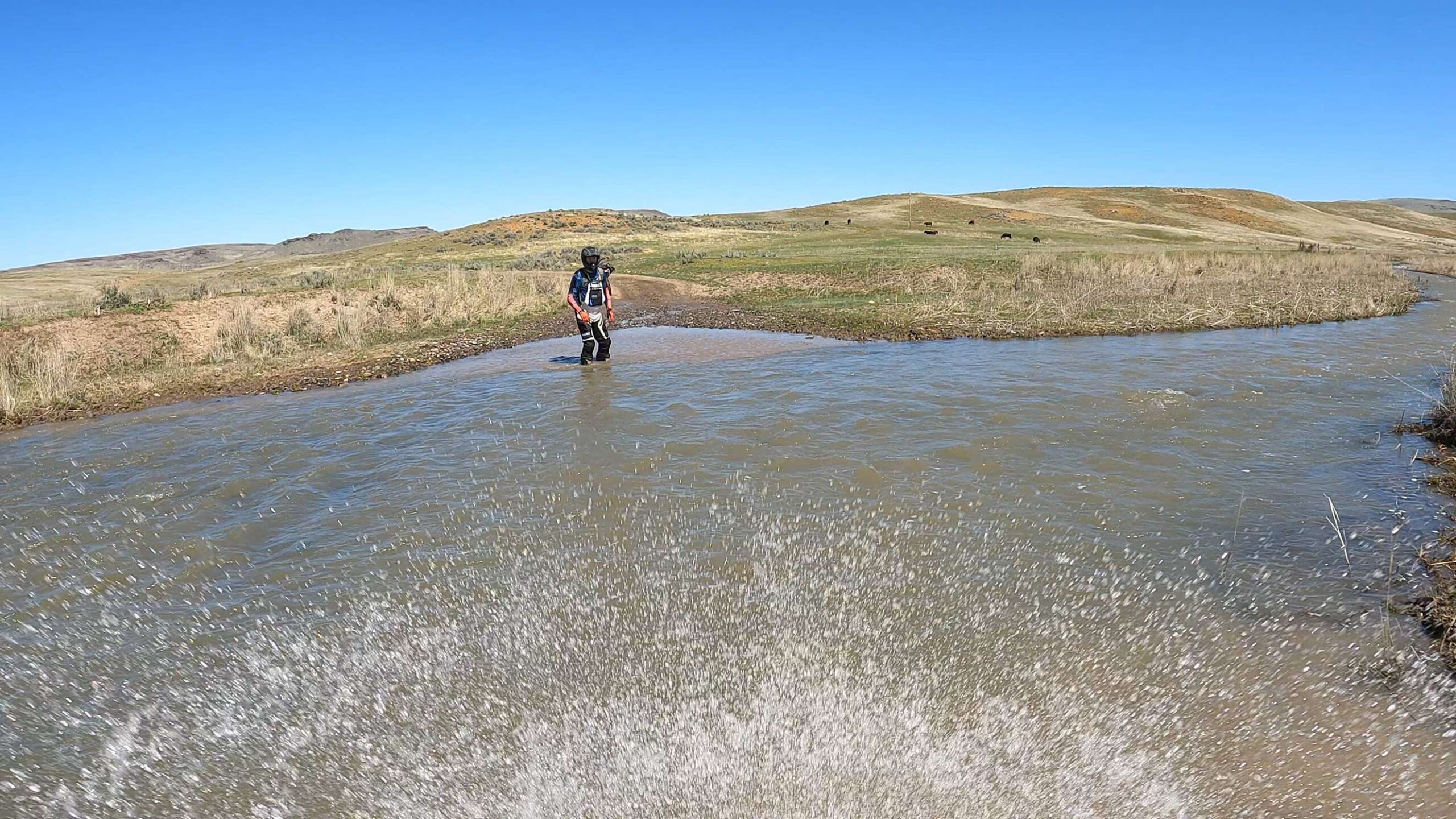
This crossing (43.18656° N, 117.18774° W) was not threatening, but still fun getting the boots wet on a hot day. There were some bogs we also went through in and around that area and also a water crossing (43.14408° N, 117.20576° W) we decided against - too deep!


On our way back from Keeney Pass we hit a water crossing, second left turn on Succor Creek road then right at the Y. Foolhardy has better directions if you want them. The road was rough but luckily only a few miles in the we back tracked.


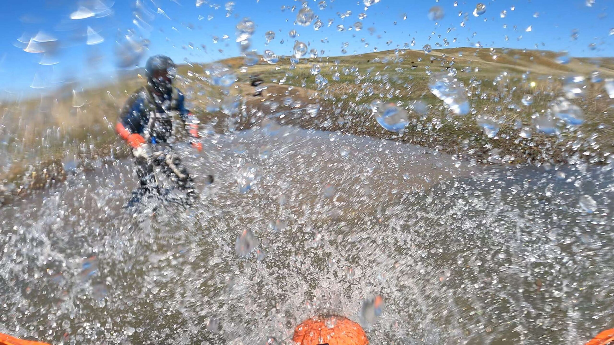
Feels like cheating because there wasn't that much water.. but got Alec very wet taking the picture 🙂

Might have to update with a cooler picture in the future, but throwing this one up there for the stats.


Easy water crossing trying to find a different way back from succor creek mine. The road got steep and rocky then dead ended.


Fearless leader, Alex, making the crossing. While I held the flag after I crossed. This was on the way out to Leslie Gulch.


I crossed a collection of water on my ttr 125 while riding with my dad. The water got up to my footpegs and got my feet really wet. Under the water was some river rocks that could have made me slip but i ended up avoiding them.

This is the water crossing at the Doyle Place Cabin. Keep turning right off the main road (the one with all the new culvert pipes) to get to the crossing. Cross over this water crossing and you are in the front yard of Doyle Place Cabin. These shots are of me coming back over from the side of the creek where the Cabin sits. Be sure to duck going both ways….the crossing is quite overgrown (literally)….standing is definitely not an option! 2 all the way up until you get to the track leading to the water crossing; then 3.


Chatty is correct, this was one of the easier ones! Several mud bogs, and crossings on the way to Birch Creek Ranch were more challenging than this one. This one was easier for taking photos.

We were spoiled for choice today with water crossings heading out to Birch Creek. This was one of the easier ones.


We hit many water crossings going down and out of Birch Creek Ranch, but this one on the southern half of Succor Creek Road on our way to Birch Creek is the only one I got a picture of.
McBride Creek H20 crossing on the ride to Leslie Gulch. Gravel in great shape, some dust, and the hills were green and vibrant.
It was April 24th and 285 miles round trip with a small group of guys from the adventure club. This was only one of the many water crossings that day.
Mellow water crossing at McBride Creek on our way to Leslie Gulch 04/29/24. Going to be bone dry really soon!
The only thing that would have made this better is if I had remembered to bring my snorkel.
There were many water crossings on the way to Birch Creek Ranch.
When yer riding by yourself, it's kinda hard to get a water crossing pic!... I was making the loop from Reynolds Creek over Rabbit Creek over to Wees Ranch and Rabbit Creek was still running at Murphy! so I took my pic there where I crossed it at the low water crossing... If I get a chance later in the year to have someone get an "action" shot of me crossing a stream... I'll change out this picture... Was a fun loop ride.
On 4/13 I was on a mission with Dusty1 and another rider to hit 6 sites in a weekend and camping off our bikes along the way. On day two we were 200+ miles into the journey out in the Owyhees and we came across the biggest water crossing of the trip at McBride Creek / Deadhorse Creek along The Rocks Road / Rockville. On this trip I lost track of how many water crossings we did because many of them we had to come back across. Thankfully not this one though. This big one was wide and steadily flowing. It was murky so we could not see the bottom. Pick a line and pray.
Dusty1 crossed first and positioned himself so he could help grab our bikes if we started to go down. Sacrificing his dry boots and dealing with soggy feet for the next 4 hours of our ride. (That's a good riding buddy right there!) I took a deep breath and went for it. The water flew up in my face and I could not see anything for a second. Fortunately it turned out well and I got a huge boost of adrenaline as I hit land on the other side. What a rush!
We technically had around 15 water crossings on our 300 mile multiday ride. Specifically on Birch Creek rd on the way to the old ranch. But the most notable was the deep and wide crossing on jump creek coming in from succor creek. Was a good time! The difficulty was more mental than physical, but it could have major consequences. I waded in to support the others just in case and enjoyed 60 miles of wet feet as a reward.

There is a water crossing at indian Hotsprings. The ride to the hotsprings is rated a 4. The water crossing I would rate a 1.5 mainly if you fall off it's freaking hot water
This crossing (43.18656° N, 117.18774° W) was not threatening, but still fun getting the boots wet on a hot day. There were some bogs we also went through in and around that area and also a water crossing (43.14408° N, 117.20576° W) we decided against – too deep!
Indian creek hot springs
Fun splash on the road to deadwood mine.
Succor Creek near Lonesome road.
On our way back from Keeney Pass we hit a water crossing, second left turn on Succor Creek road then right at the Y. Foolhardy has better directions if you want them. The road was rough but luckily only a few miles in the we back tracked.
Feels like cheating because there wasn’t that much water.. but got Alec very wet taking the picture 🙂
Might have to update with a cooler picture in the future, but throwing this one up there for the stats.
On the way to Birch Creek. One of 4 or so.
Easy water crossing trying to find a different way back from succor creek mine. The road got steep and rocky then dead ended.
Came across a water crossing while making a wrong turn 🙂
Fearless leader, Alex, making the crossing. While I held the flag after I crossed. This was on the way out to Leslie Gulch.
A large washout near Deadwood.
I crossed a collection of water on my ttr 125 while riding with my dad. The water got up to my footpegs and got my feet really wet. Under the water was some river rocks that could have made me slip but i ended up avoiding them.
This is the water crossing at the Doyle Place Cabin. Keep turning right off the main road (the one with all the new culvert pipes) to get to the crossing. Cross over this water crossing and you are in the front yard of Doyle Place Cabin. These shots are of me coming back over from the side of the creek where the Cabin sits. Be sure to duck going both ways….the crossing is quite overgrown (literally)….standing is definitely not an option! 2 all the way up until you get to the track leading to the water crossing; then 3.
Chatty is correct, this was one of the easier ones! Several mud bogs, and crossings on the way to Birch Creek Ranch were more challenging than this one. This one was easier for taking photos.
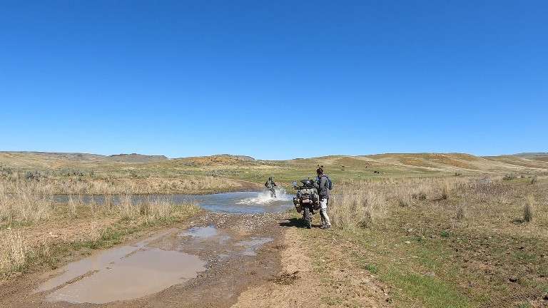
Here I am making the crossing
We were spoiled for choice today with water crossings heading out to Birch Creek. This was one of the easier ones.
easy crossing
Was well worth the wet feet.
I think this was one of the crossings going to Birch Creek
We hit many water crossings going down and out of Birch Creek Ranch, but this one on the southern half of Succor Creek Road on our way to Birch Creek is the only one I got a picture of.
McBride Creek H20 crossing on the ride to Leslie Gulch. Gravel in great shape, some dust, and the hills were green and vibrant.
It was April 24th and 285 miles round trip with a small group of guys from the adventure club. This was only one of the many water crossings that day.
Mellow water crossing at McBride Creek on our way to Leslie Gulch 04/29/24. Going to be bone dry really soon!
The only thing that would have made this better is if I had remembered to bring my snorkel.
There were many water crossings on the way to Birch Creek Ranch.
Splash!!
When yer riding by yourself, it’s kinda hard to get a water crossing pic!… I was making the loop from Reynolds Creek over Rabbit Creek over to Wees Ranch and Rabbit Creek was still running at Murphy! so I took my pic there where I crossed it at the low water crossing… If I get a chance later in the year to have someone get an “action” shot of me crossing a stream… I’ll change out this picture… Was a fun loop ride.
On 4/13 I was on a mission with Dusty1 and another rider to hit 6 sites in a weekend and camping off our bikes along the way. On day two we were 200+ miles into the journey out in the Owyhees and we came across the biggest water crossing of the trip at McBride Creek / Deadhorse Creek along The Rocks Road / Rockville. On this trip I lost track of how many water crossings we did because many of them we had to come back across. Thankfully not this one though. This big one was wide and steadily flowing. It was murky so we could not see the bottom. Pick a line and pray.
Dusty1 crossed first and positioned himself so he could help grab our bikes if we started to go down. Sacrificing his dry boots and dealing with soggy feet for the next 4 hours of our ride. (That’s a good riding buddy right there!) I took a deep breath and went for it. The water flew up in my face and I could not see anything for a second. Fortunately it turned out well and I got a huge boost of adrenaline as I hit land on the other side. What a rush!
We technically had around 15 water crossings on our 300 mile multiday ride. Specifically on Birch Creek rd on the way to the old ranch. But the most notable was the deep and wide crossing on jump creek coming in from succor creek. Was a good time! The difficulty was more mental than physical, but it could have major consequences. I waded in to support the others just in case and enjoyed 60 miles of wet feet as a reward.
There is a water crossing at indian Hotsprings. The ride to the hotsprings is rated a 4. The water crossing I would rate a 1.5 mainly if you fall off it’s freaking hot water
Nice form and technique!! I usually look like I’m about to be dragged off the back.
Comments are closed.