Description
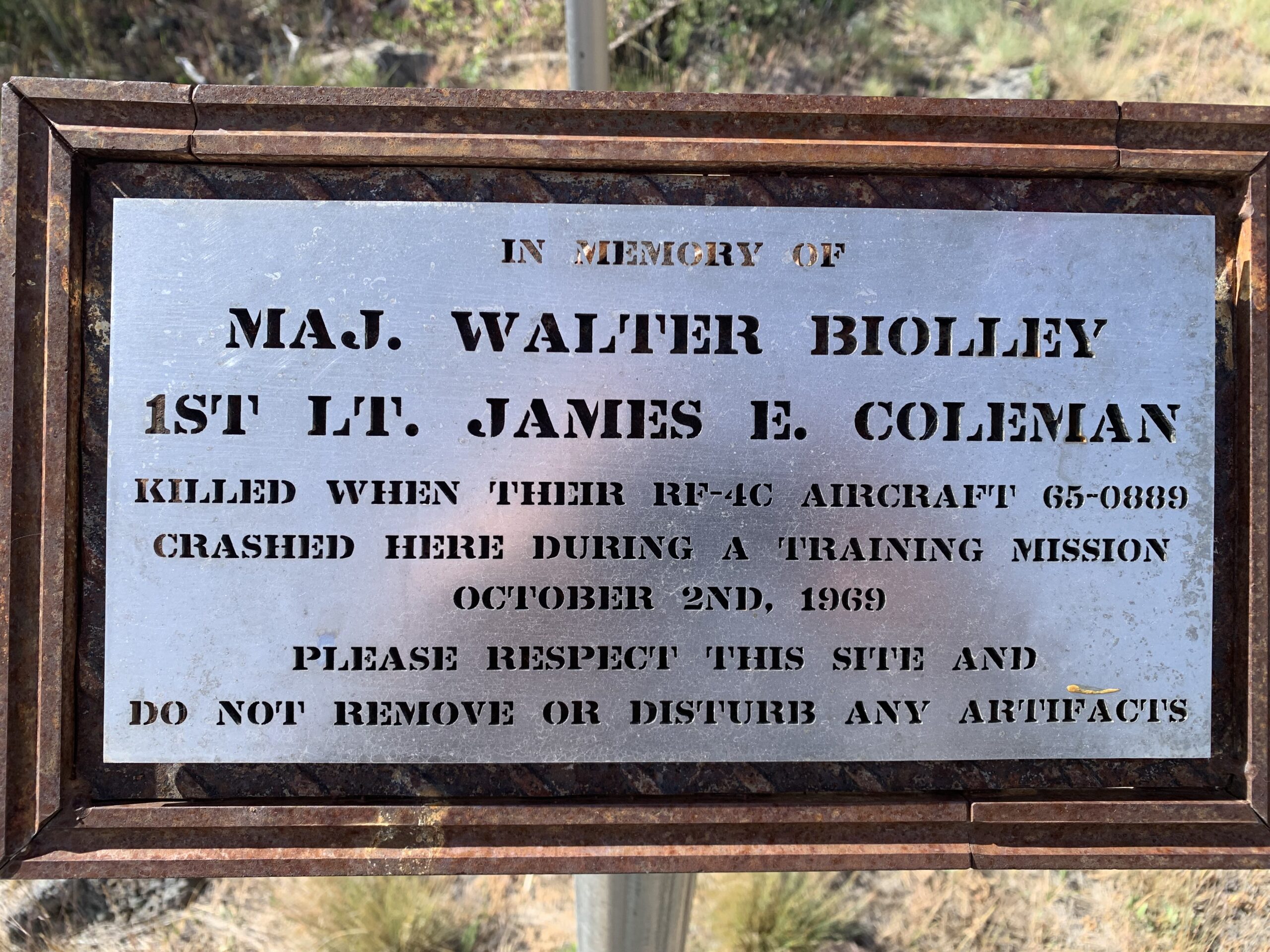
Add your description of F4 Phantom Crash Site here.
More Information
Coordinates: 42.398130, -116.062271
Elevation: 5900 ft
Difficulty: 3
What to Expect:
Check In
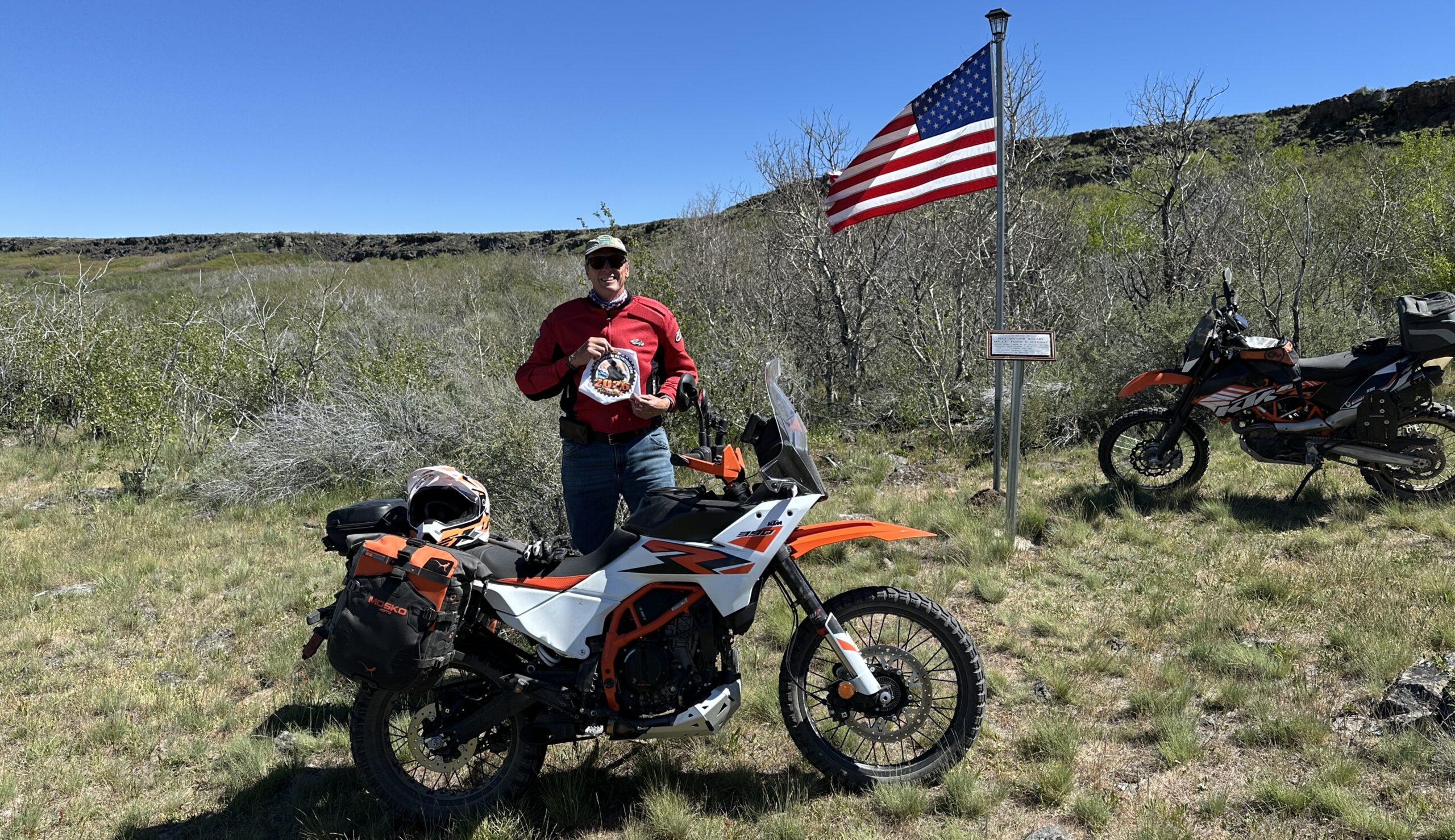
Use the form below to check in. Check-ins must include a photo of you or your bike at the challenge site with the 2026 bandanna. All participants must be registered IAMC Challenge Members. Leave a description of your ride and share road conditions — snow, water, obstacles, and tips for future riders are all appreciated.
Replying to another person's check-in is encouraged, but take care not to accidentally create your own check-in.
The stated difficulty is an estimate. Rating your experience helps future riders stay safe. You alone are responsible for the safety of your ride.
8 Check-Ins

Thanks, Alec for the GPX tracks and description. That really helped. That said, that Rocky climb you described was a bear on my BMW R 1250 GSA. I got knocked off line 3 times getting through there; once on the way up and twice on the way down. Riding solo,I’m glad I didn’t go down. Because of this Rocky Hill section, I rate this a 4.
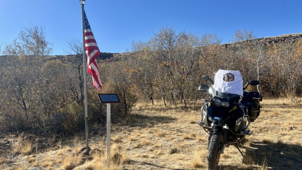
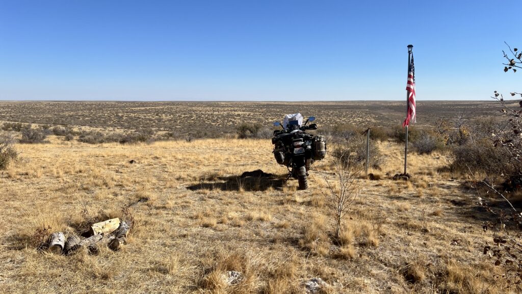

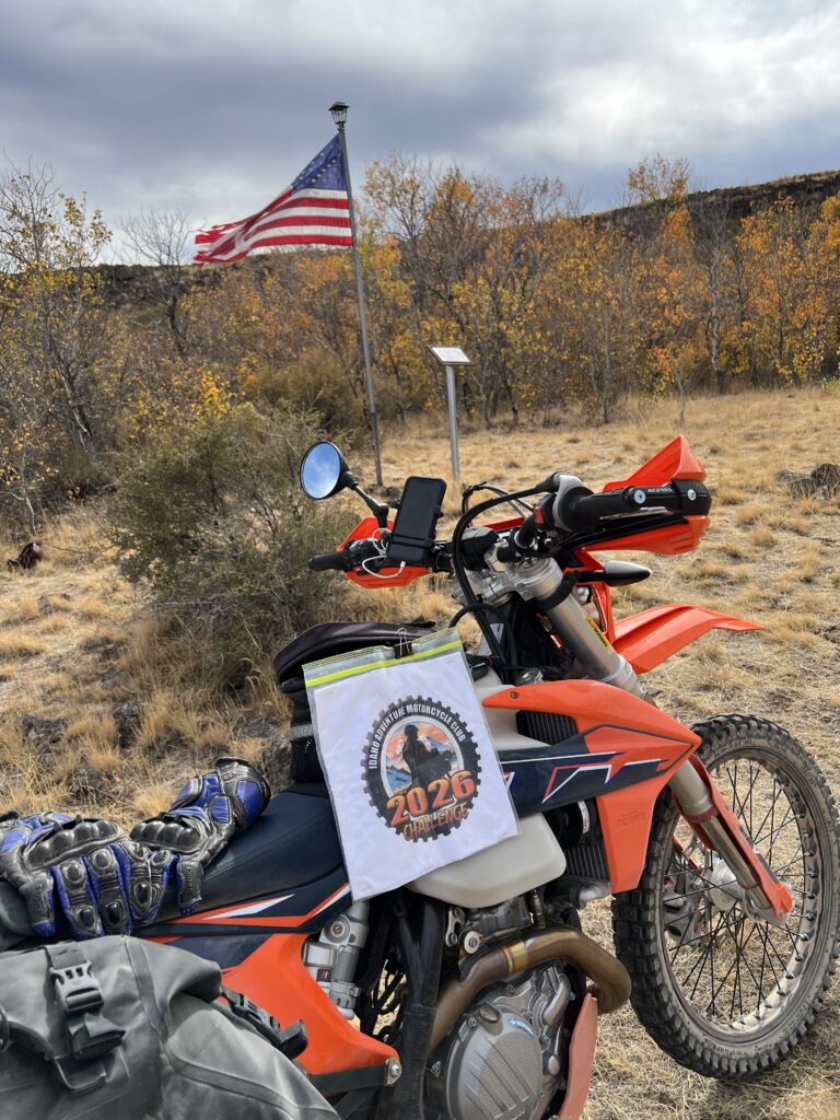
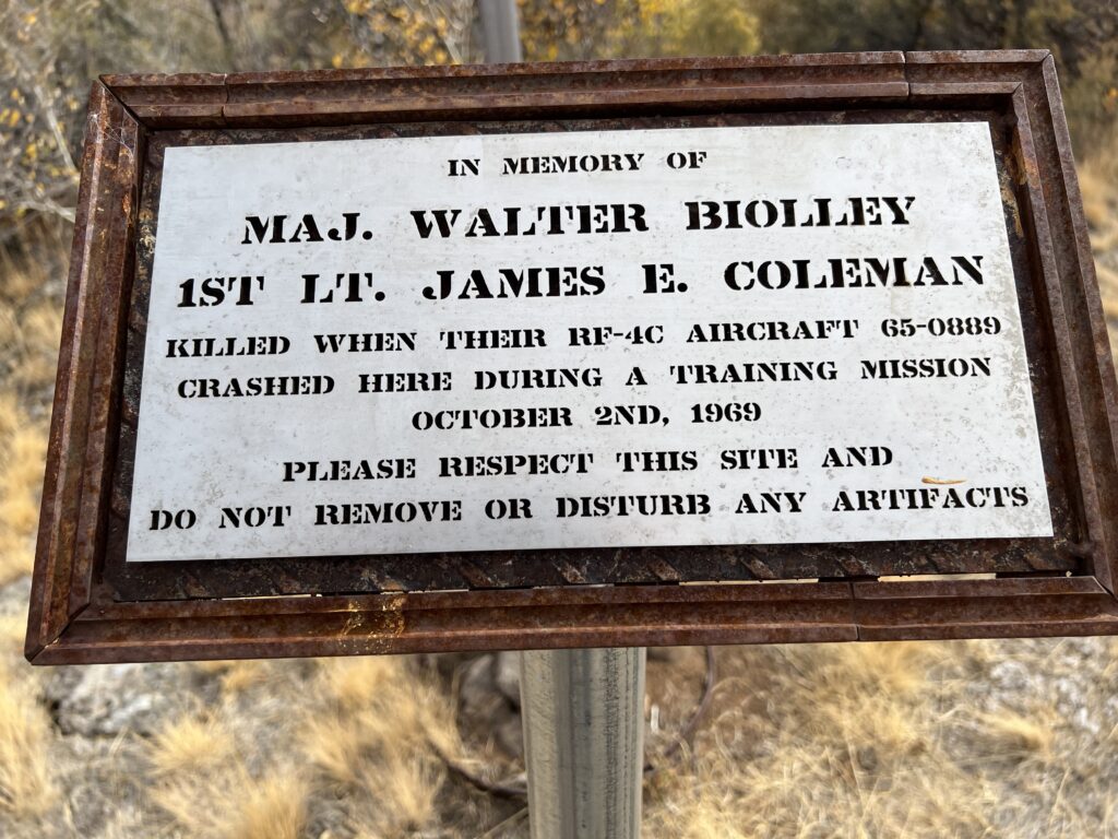

Thanks to Chatty's pictures and intel, this was pretty easy to find. Only made one wrong turn, but realized it quickly and went back to stay left at the Y. About two miles from the flag, there's a barbed wire gate that will be invisible if you're hauling butt into the sun in the afternoon - be warned.
Also, don't try this if it's rained recently. Chatty's track is going to go from a mild-3 to almost impassable.
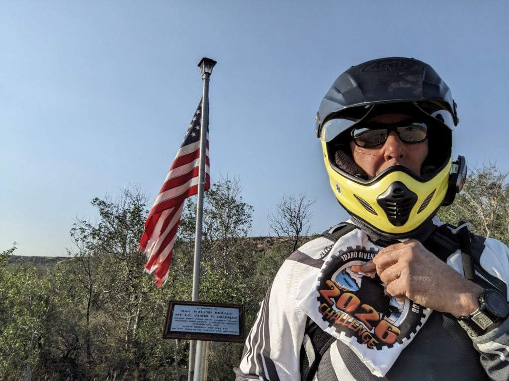

Mostly two track and one inclined section of loose rocks. The trail turns to grass in a couple spots and at the end, making you think are are off the mark.
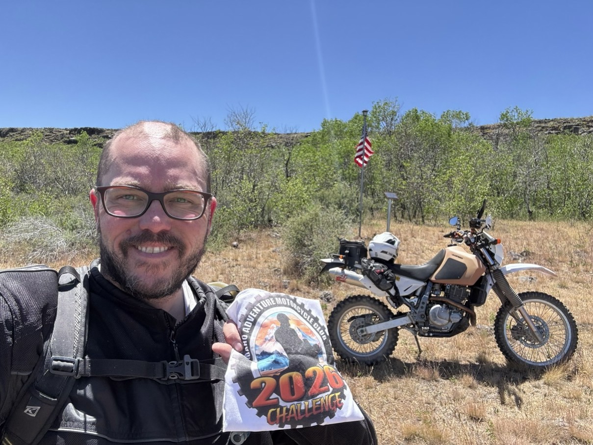

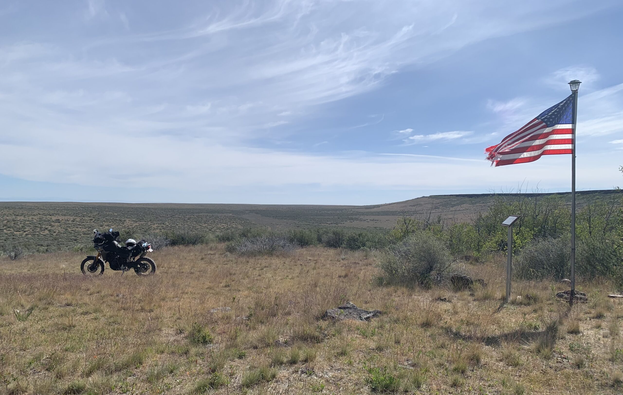
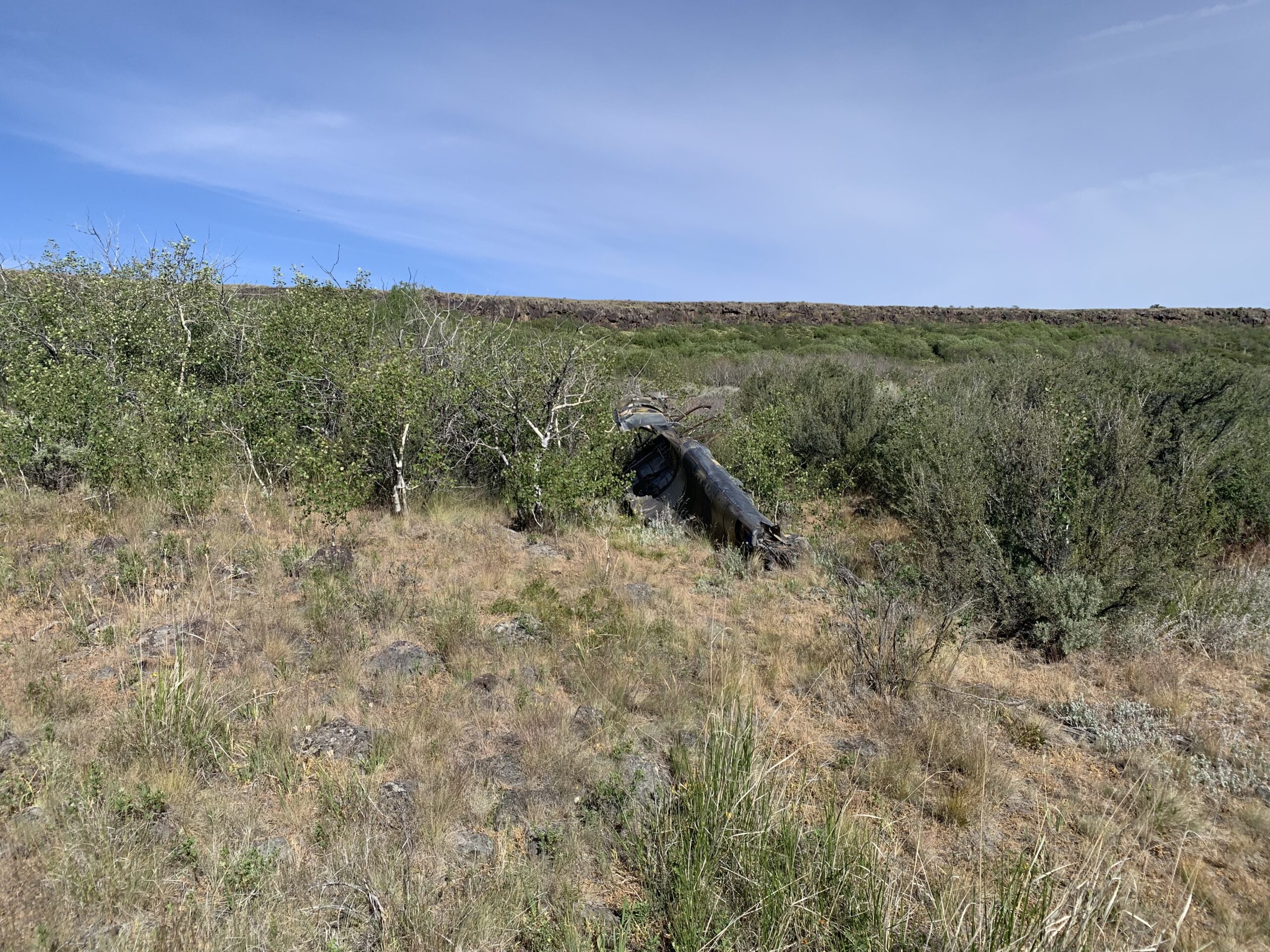
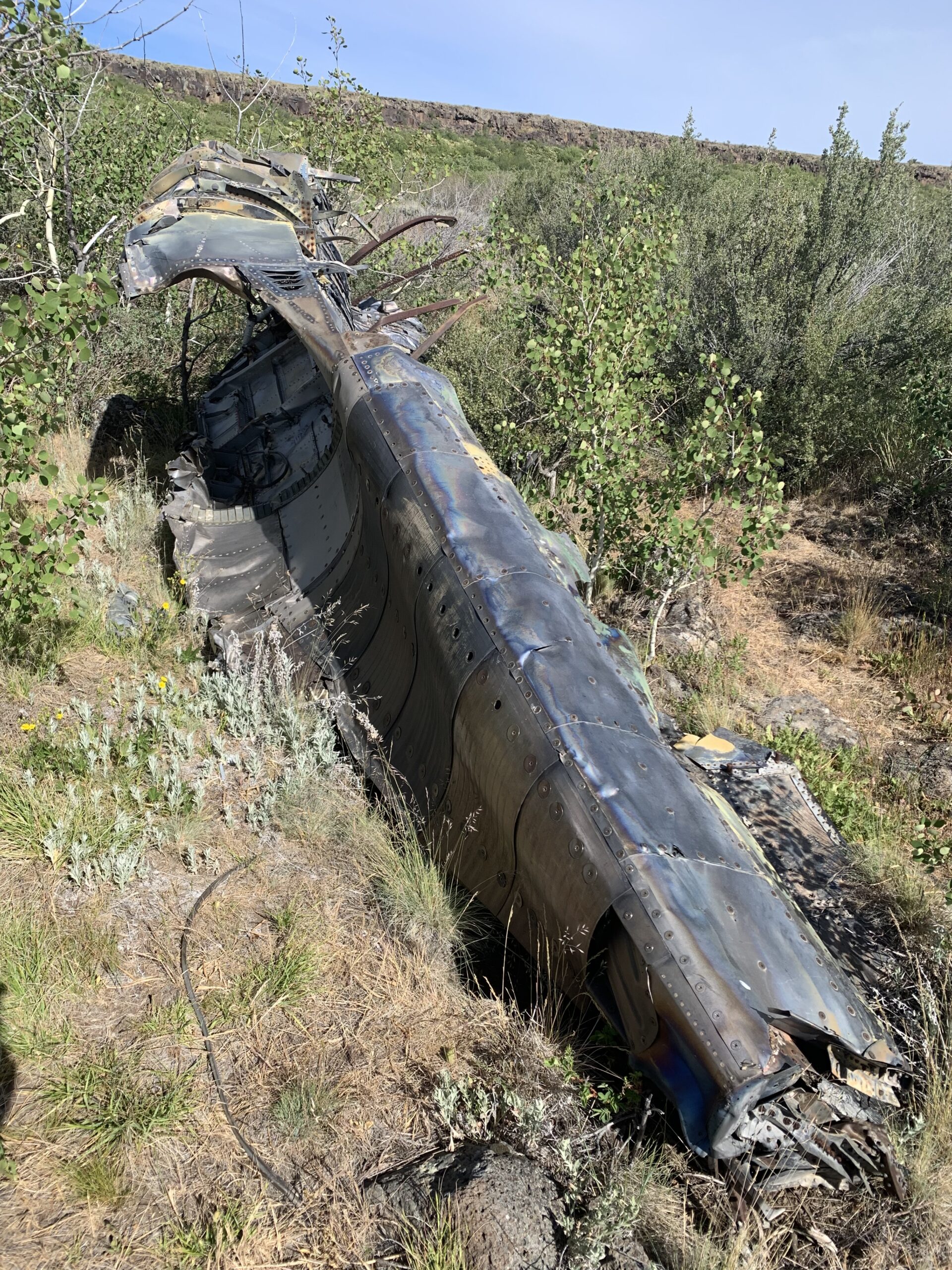
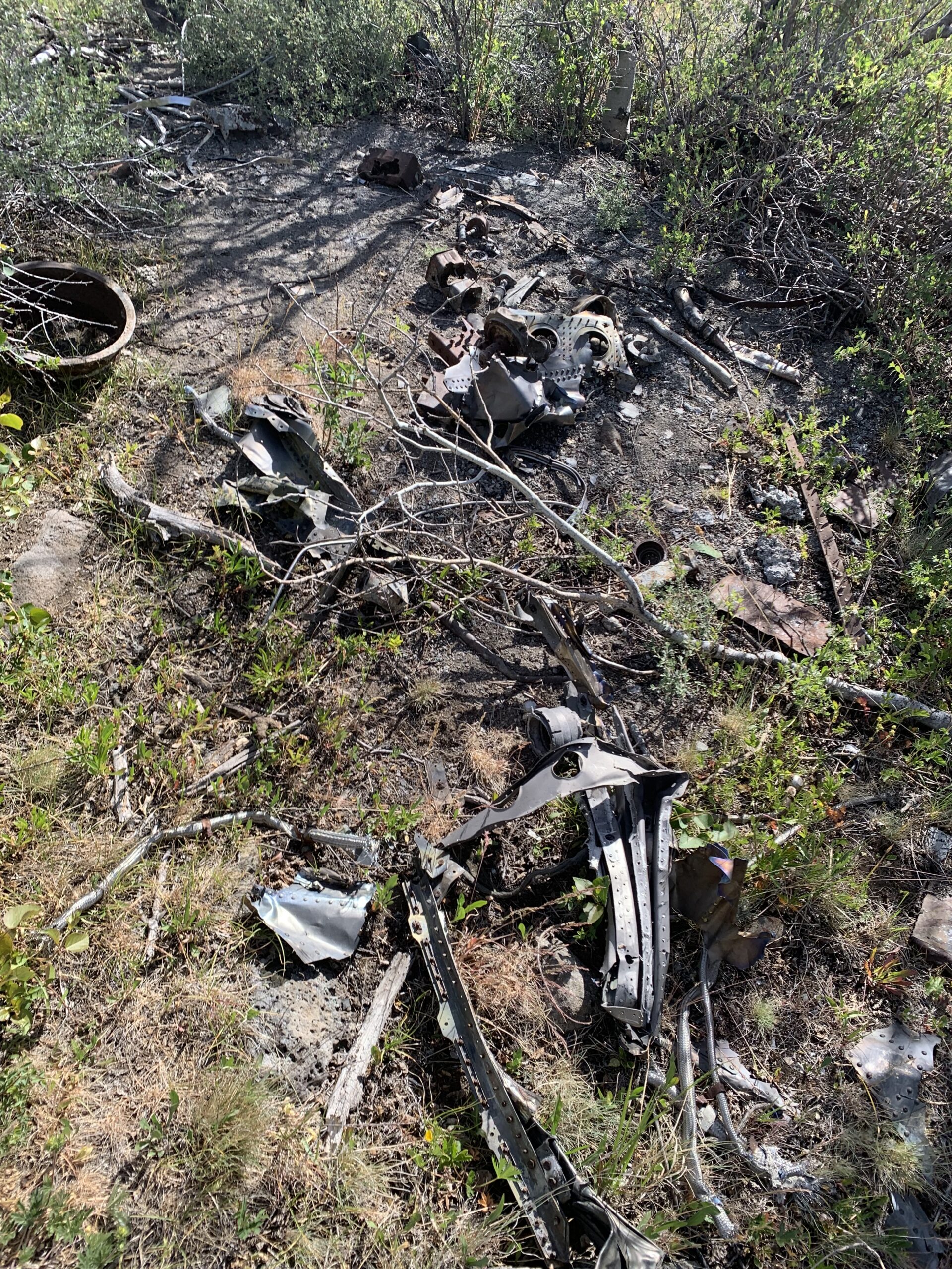
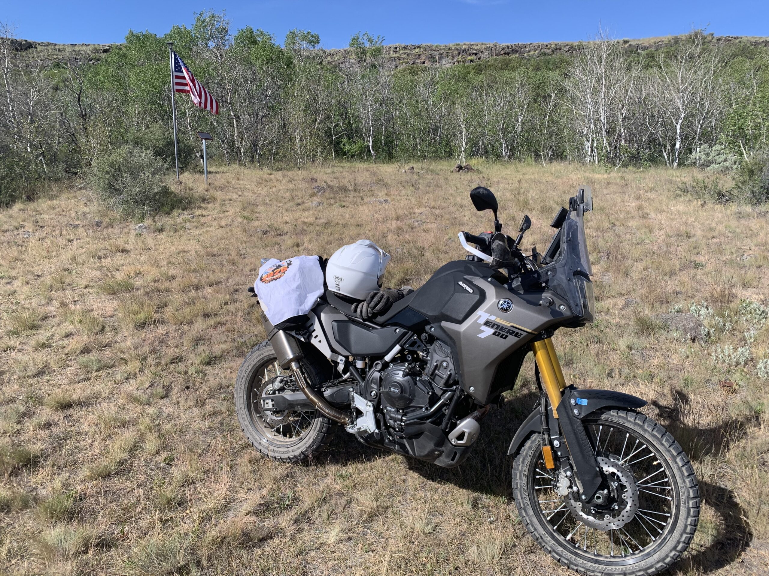

The ride to the turn-off is uneventful and fast. Once you pass a ranch (look for the gold-topped silos) on your left, there is a grade of about a 1/3 of a mile with rough rock that acts as loose pebbles, which requires commitment and momentum until you reach the top. It's tricky going down too, as you will slide a bit and the rocks vary from small to pretty large (i.e., to avoid). On a dual sport, this is a 3. On a big bike, it's a 4 just because of this section. Once at the top, it's easy going through to the crash site on a two-track. Be sure to mark the point where you need to turn in, or else Google will send you to the top of the bluff. Look for a tiny lake on your nav with a dead-end track. We were visited by two F15s as we were taking photos, and we heard many more military aircraft while traveling in and out of the area.
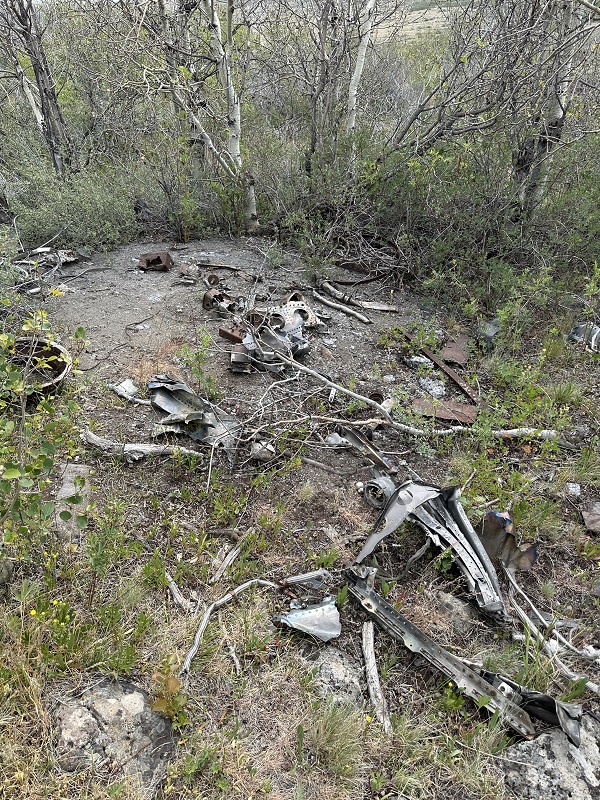
There are lots of artifacts from the crash, which make for a very humbling experience, especially given that this was a loooong time ago. Note, this is a memorial and nothing should be moved or taken from the site. My included GPX is directions to the turn 42.405976, -116.023747. This is where you want to route to (see the attached pics). Once on this two-track, follow the green line to the green circle and then turn onto the orange line. The flag should be easily visible at the green circle. Plan on it taking about an hour and a quarter to get to and from the site from when you leave the highway, and add extra time if you intend to look around.
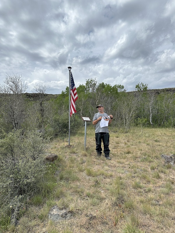
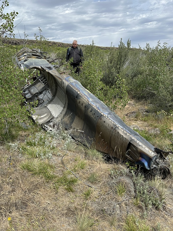
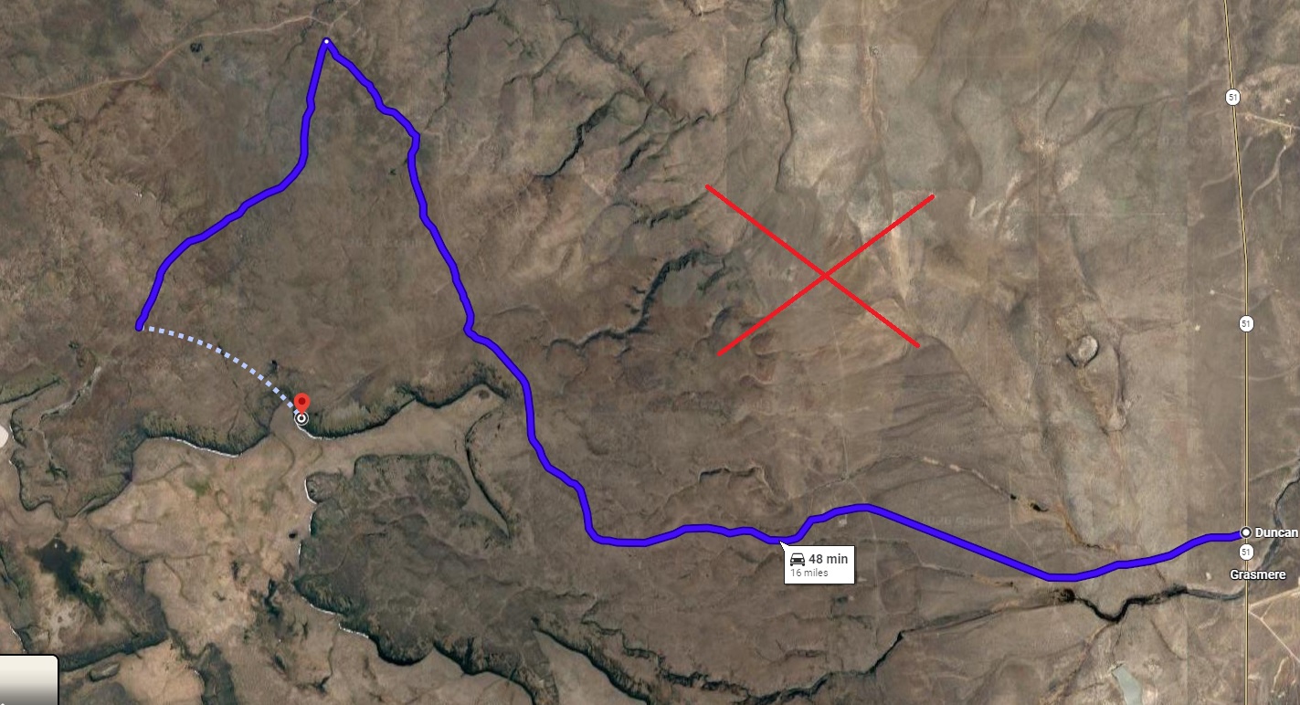
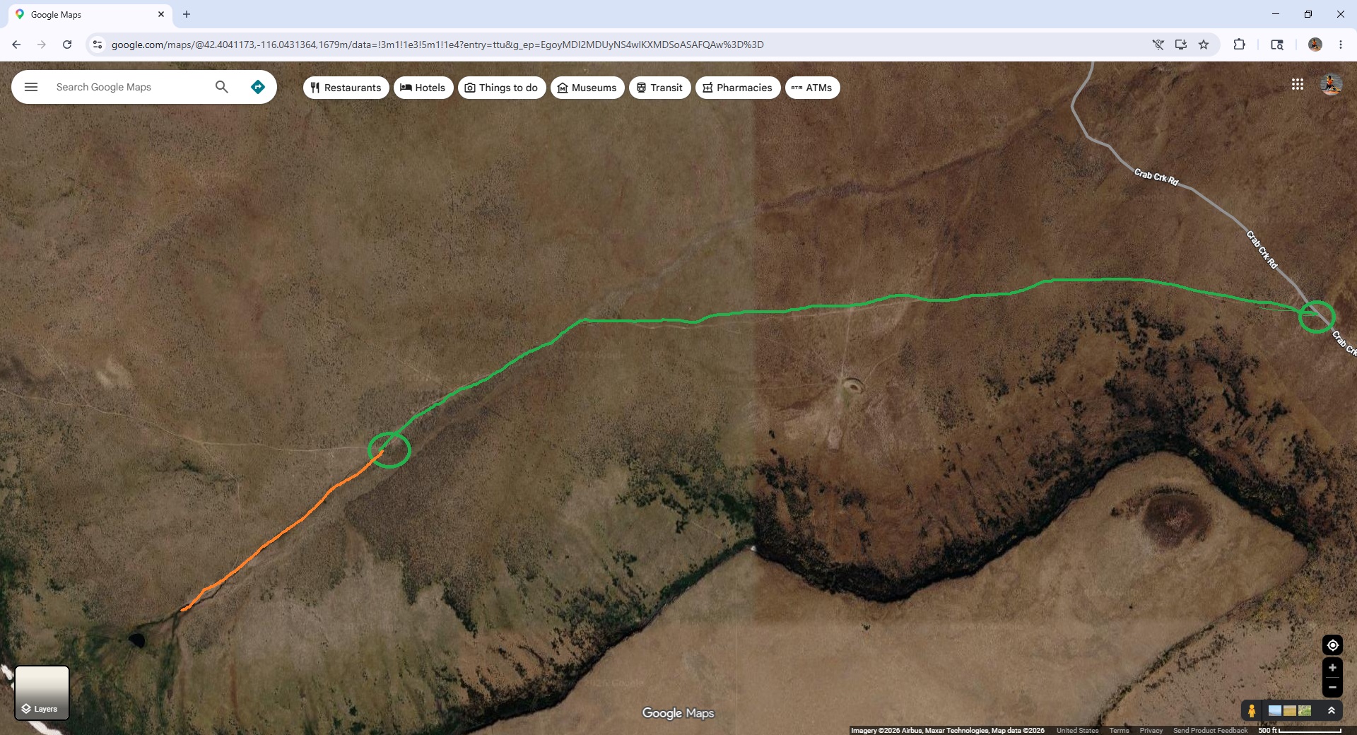

Went here today with Chatty. The ride in wasn't bad except for a hill covered in marble rocks which made it very challenging. We came in from Grasmere.
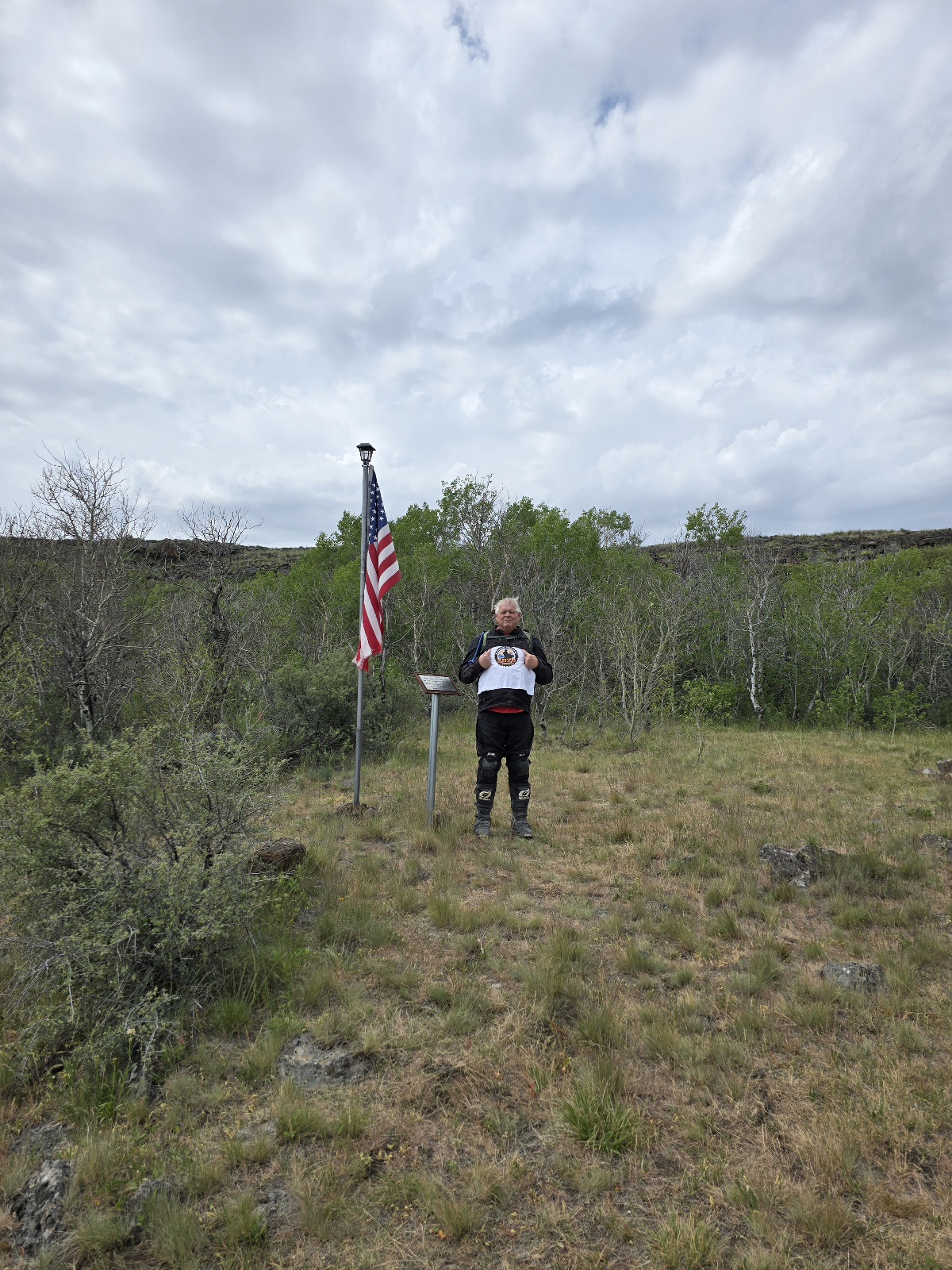

The road in an out is a mixture of maintained gravel road, unmaintained or rarely maintained 2-track with some difficult rocky sections (I'm a lower intermediate rider). Mostly dessert riding, not a lot of interesting rock formations or spectacular scenery. The site itself is sobering - 2 men died there in the crash. There is a memorial plaque and an American flag on a pole with a solar light atop to light it at night. There are small and large parts of the F4 Phantom scattered all around the area, that are not to be moved or removed.