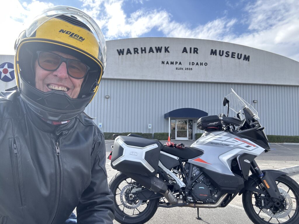
They have a campus map right by the building, but the map has no “You Are Here” mark on it, and the name on the building does not match name in the challenge map, and google map kept locking up on me, so good luck finding the right building…
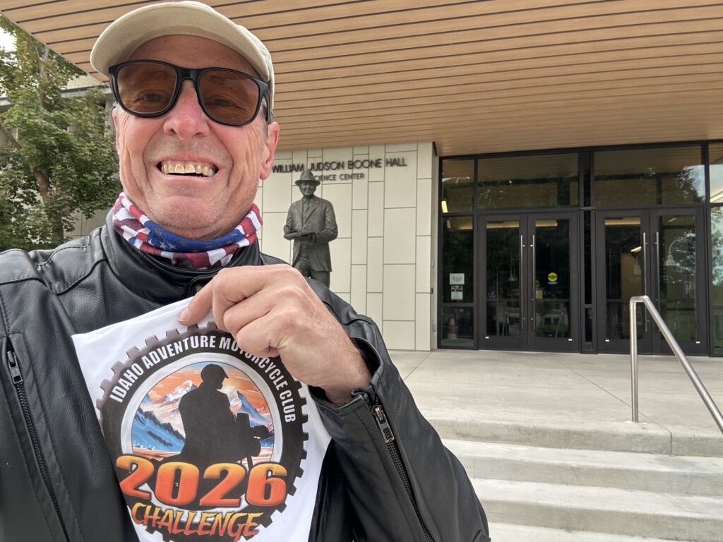
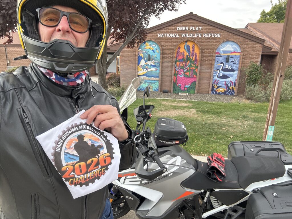
Took my grankids here earlier in the year - a lot of interesting information about the local wildlife

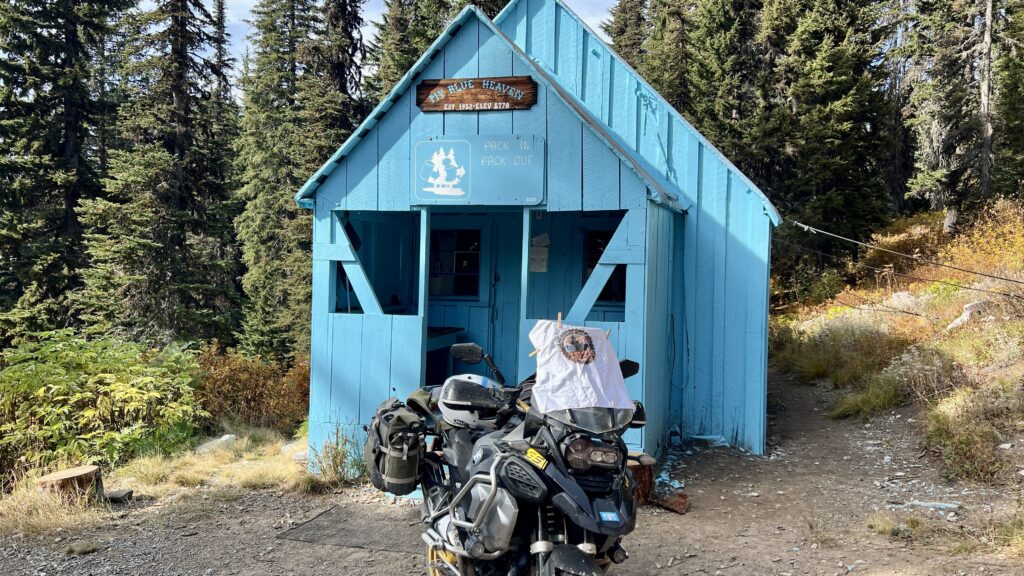
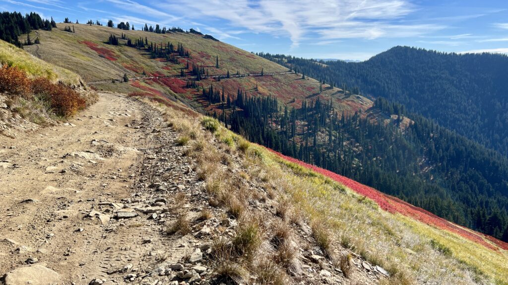
Starting at Clarkia, I made the 75 mile loop up Freezeout to Blue Heaven cabin and back to Clarkia by way of telephone booth Hill. Freeze out includes miles and miles of big embedded rock making for slow going.

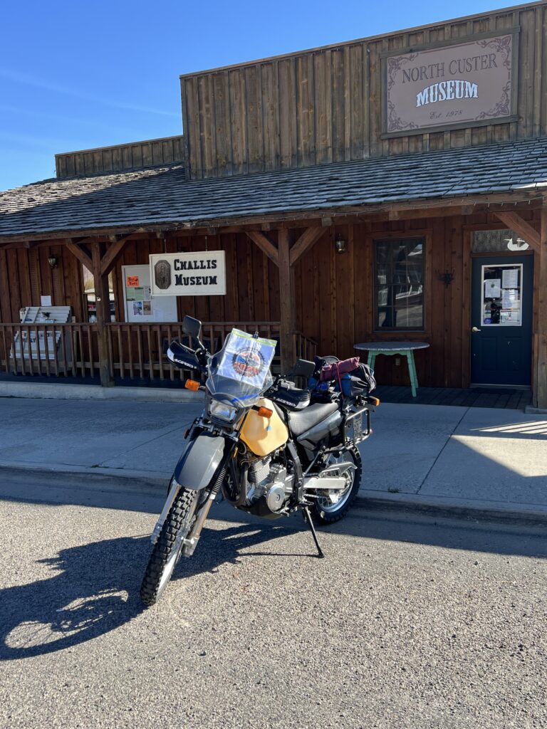
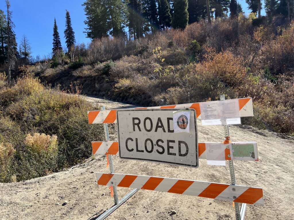
Tried to pick up this site on my way to Challis but the road is closed
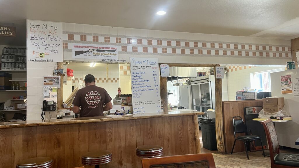
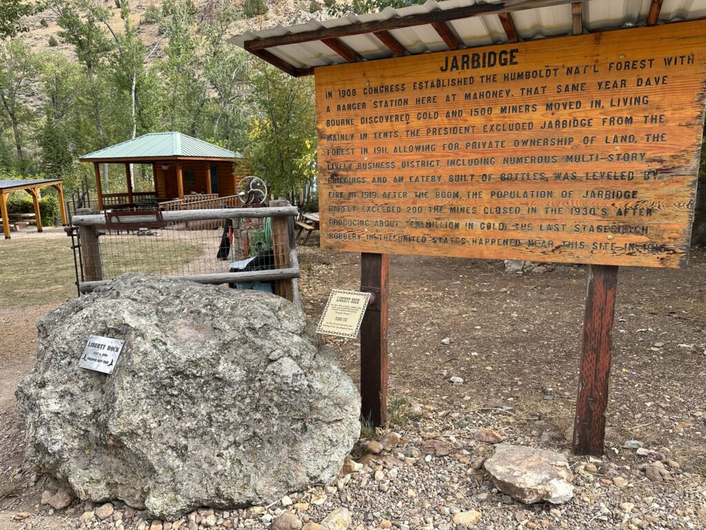
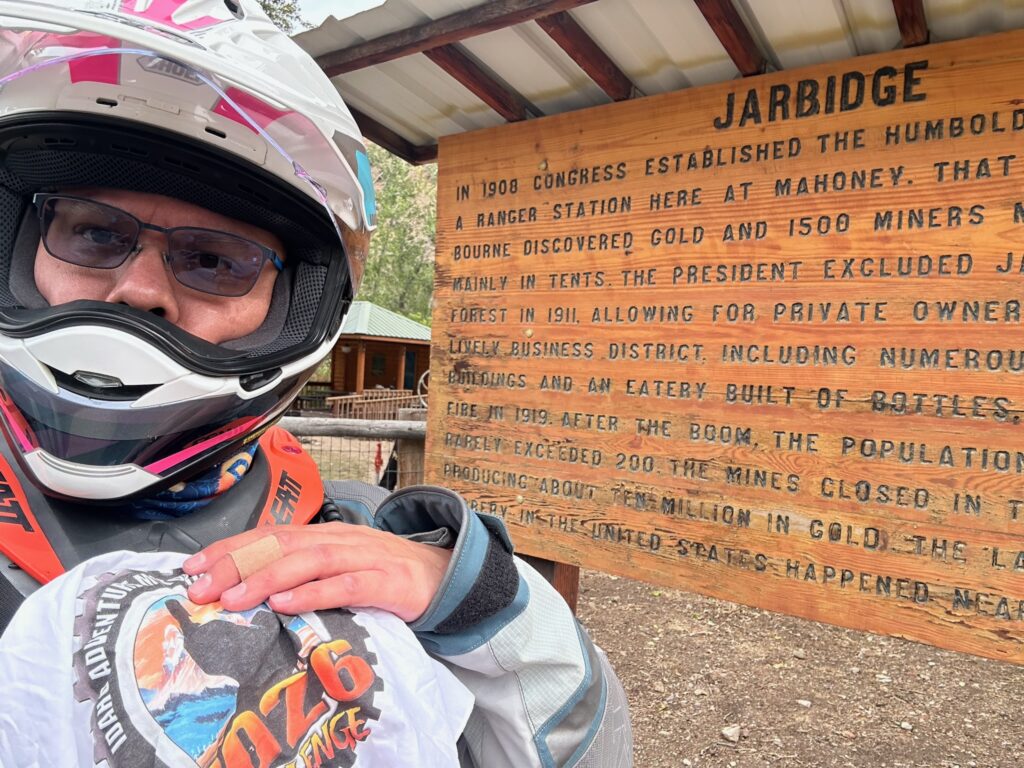
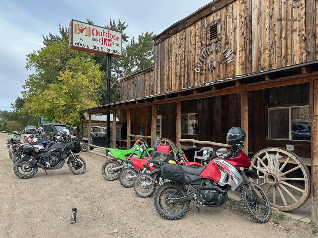
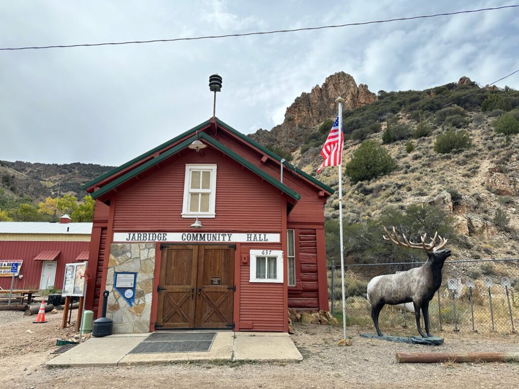
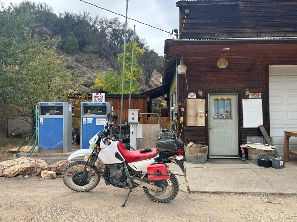
Jarbidge is great little town to visit. Jace was handling, both cook and waiter duties at the restaurant today. His mom makes all the ice cream and pies, all homemade and delicious! Hunters were streaming in to buy ice cream. They serve prime rib on Saturday night, but you have to make a reservation if you want to get any. They appreciate all our club members and BDR riders that come visit.
I rode to Jarbidge from Grasmere and out to Highway 93 between jackpot and Twin Falls. I figure on that route about 100 miles of gravel, nothing hard.
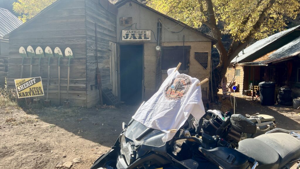
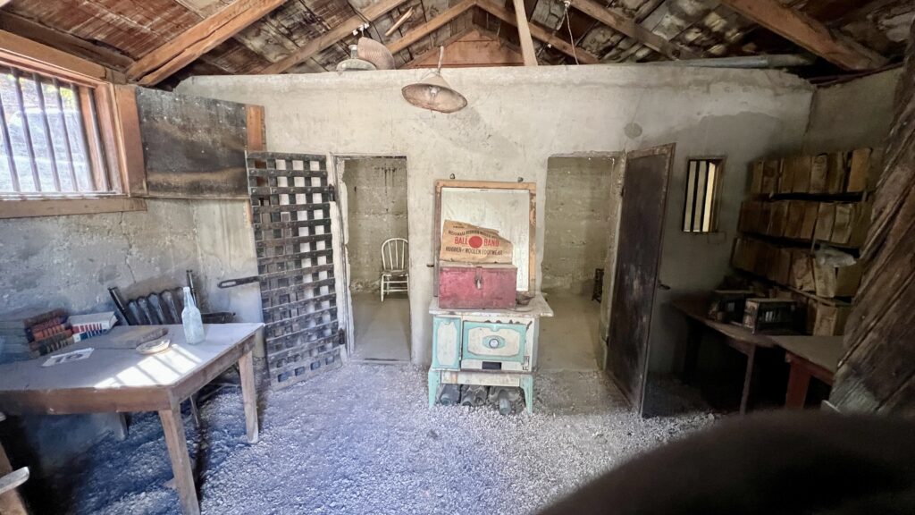
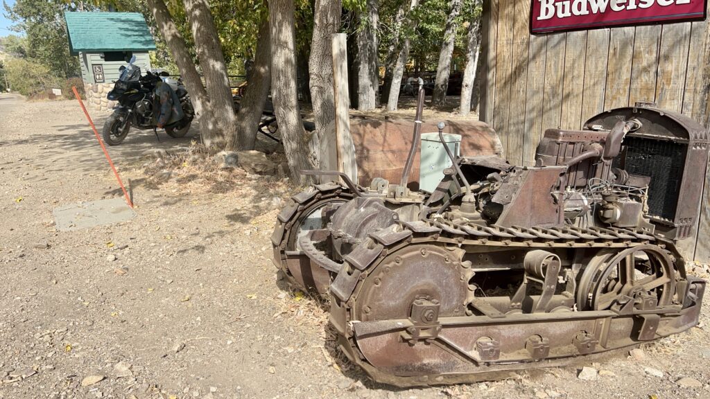
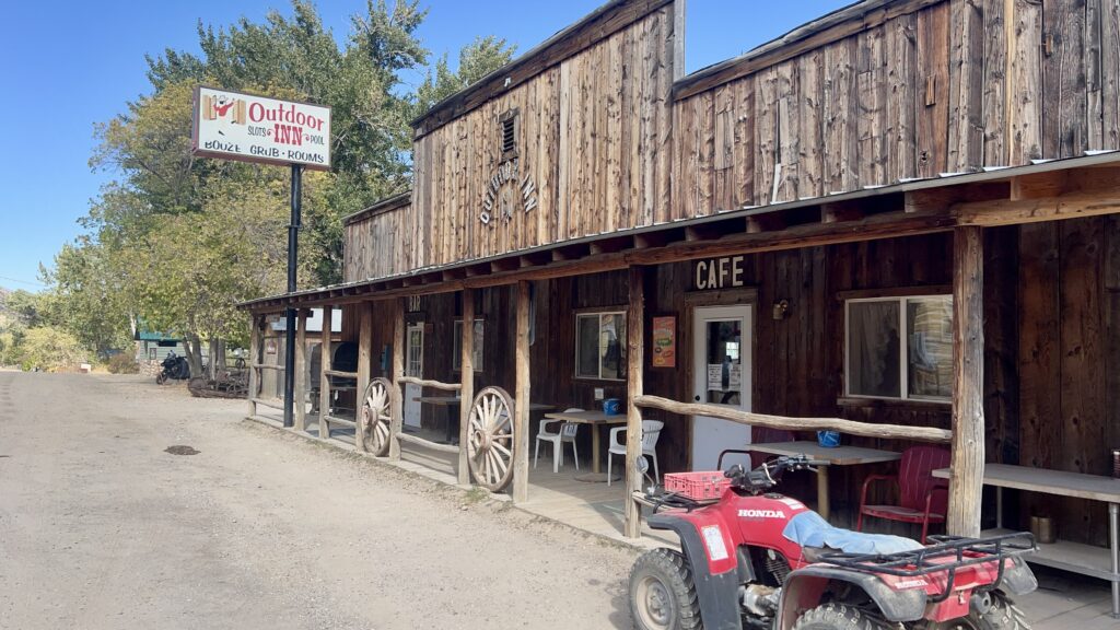
Thanks, Alec for the GPX tracks and description. That really helped. That said, that Rocky climb you described was a bear on my BMW R 1250 GSA. I got knocked off line 3 times getting through there; once on the way up and twice on the way down. Riding solo,I’m glad I didn’t go down. Because of this Rocky Hill section, I rate this a 4.
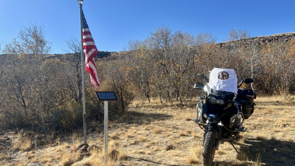
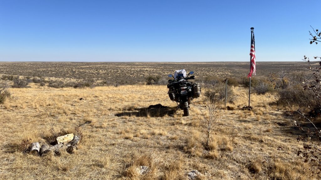
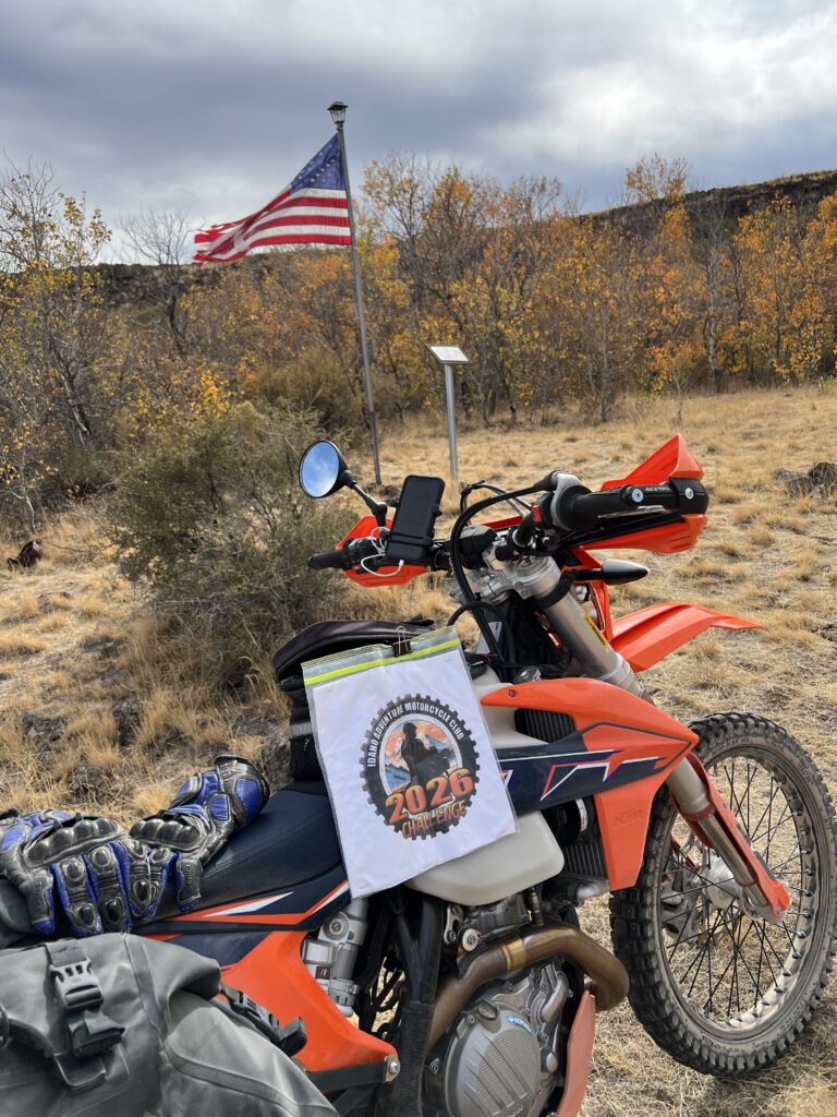
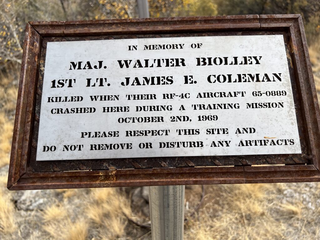
I followed Chattys route up until a missed turn and landed 10 miles north of Jarbidge.
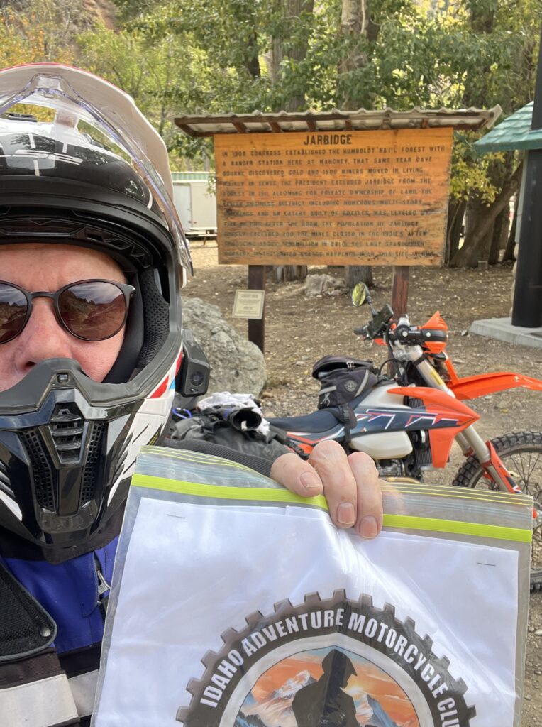
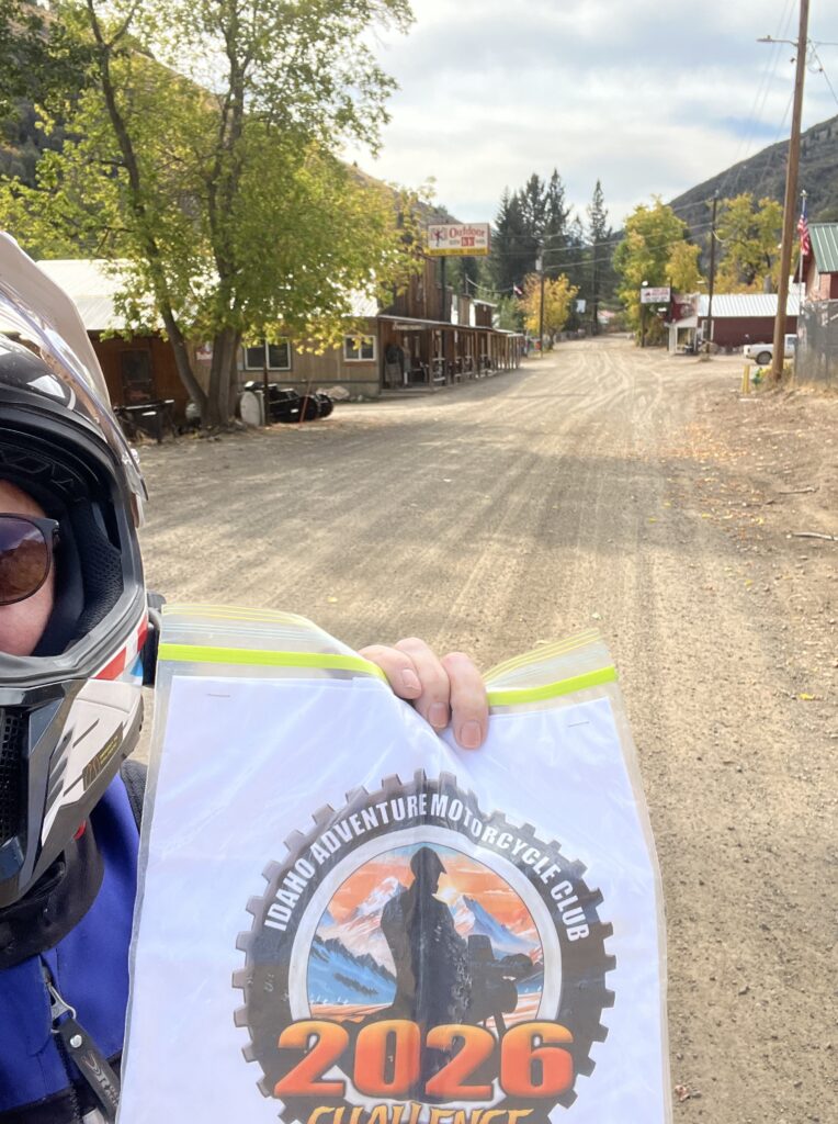

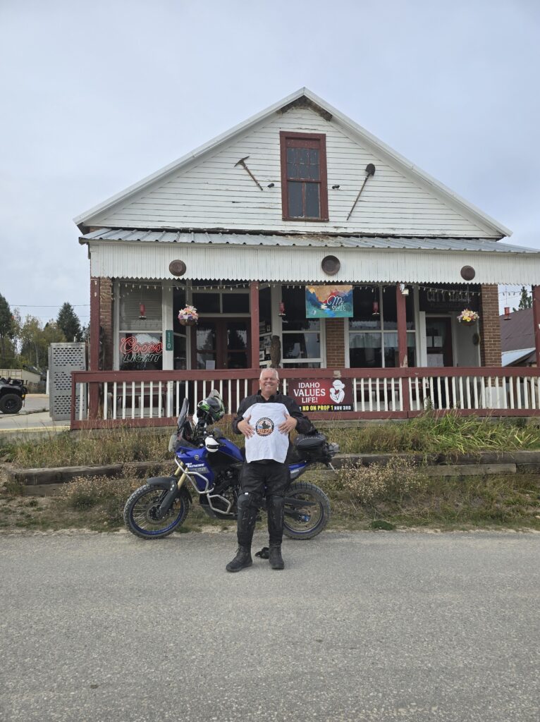
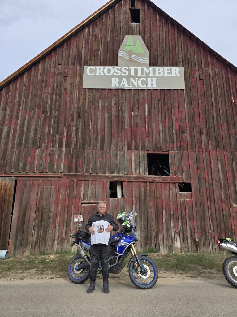
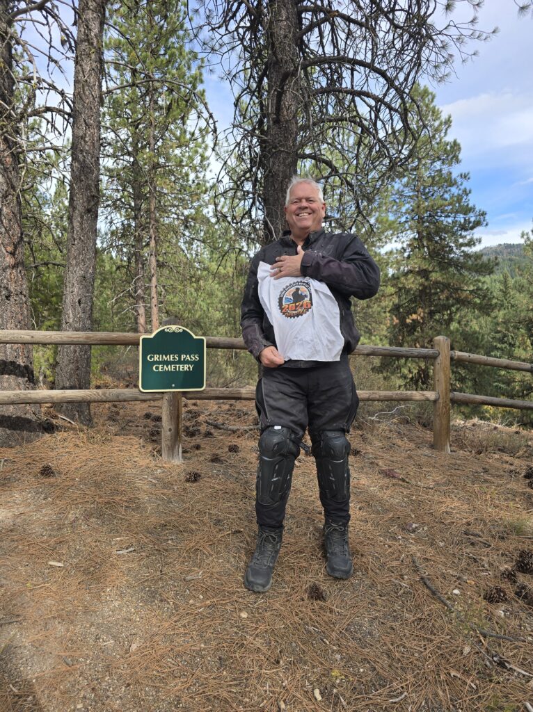
First time I have ever seen this place. Feels like CA transplants made it

For Jarbidge I followed Section 1 of the Idaho BDR (Jarbidge to Glenns Ferry).
The route is pretty straightforward and mostly fast gravel (difficulty 2), but you do need to watch out for a few pockets of deep sand on the northern third or so of the route (the gravel part from Hammett to just south of the Saylor Creek Air Force Range). Most are avoidable, some are not.
After that it is easy going: might as well be paved, and there even is a short stretch of paved road for a while until you drop down into Murphy Hot Springs and the canyon leading to Jarbidge. Lots of OHV activity in the vicinity of Jarbidge.
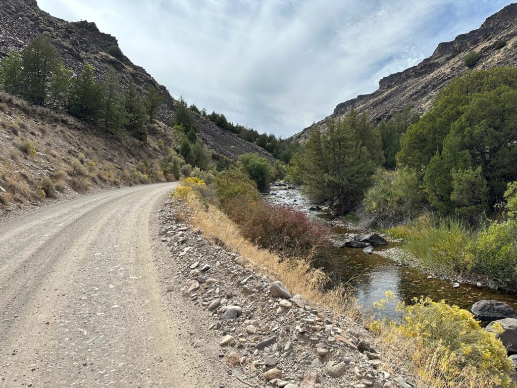
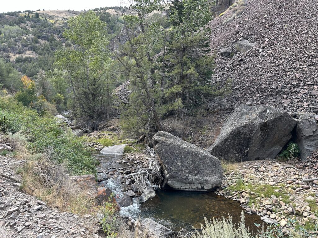
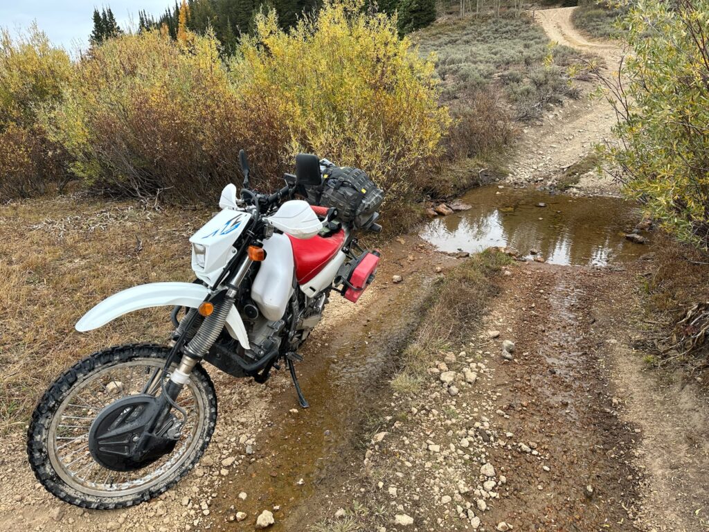
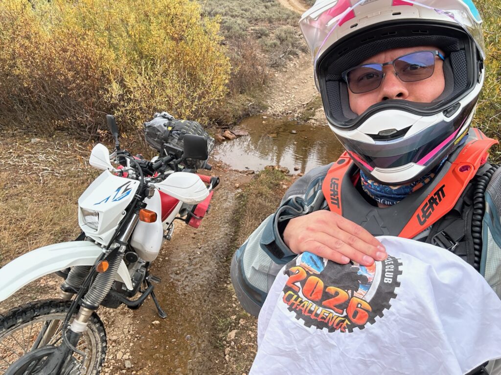
Crossing over part of Bear Creek off to the side of section 6 of the Nevada BDR (Elko to Jarbidge). Running water, but not the widest or deepest.
This was the only water crossing I found since starting the 2026 Challenge, though I did pass many dried up ones (probably due to the 2025-2026 non-winter).