Description
Add your description of Beautiful view with an awesome road here.
More Information
Coordinates: ??
Elevation: ?? ft
Difficulty: ??
What to Expect:
Check In
Use the form below to check in. Check-ins must include a photo of you or your bike at the challenge site with the 2026 bandanna. All participants must be registered IAMC Challenge Members. Leave a description of your ride and share road conditions — snow, water, obstacles, and tips for future riders are all appreciated.
Replying to another person's check-in is encouraged, but take care not to accidentally create your own check-in.
The stated difficulty is an estimate. Rating your experience helps future riders stay safe. You alone are responsible for the safety of your ride.
10 Check-Ins

French Creek Grade a bit rocky pot holed and rutted with a few switchbacks
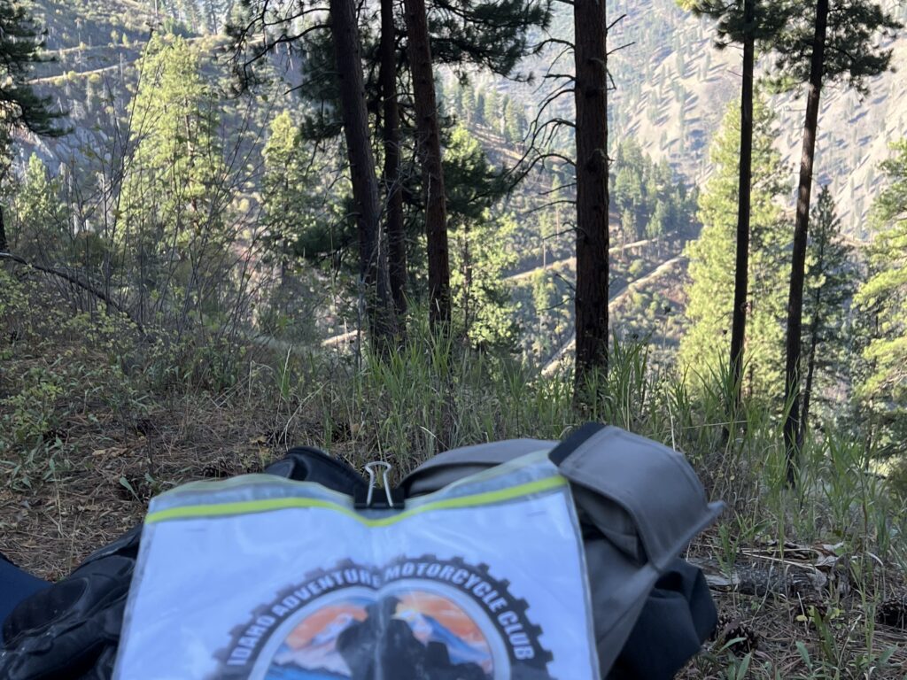
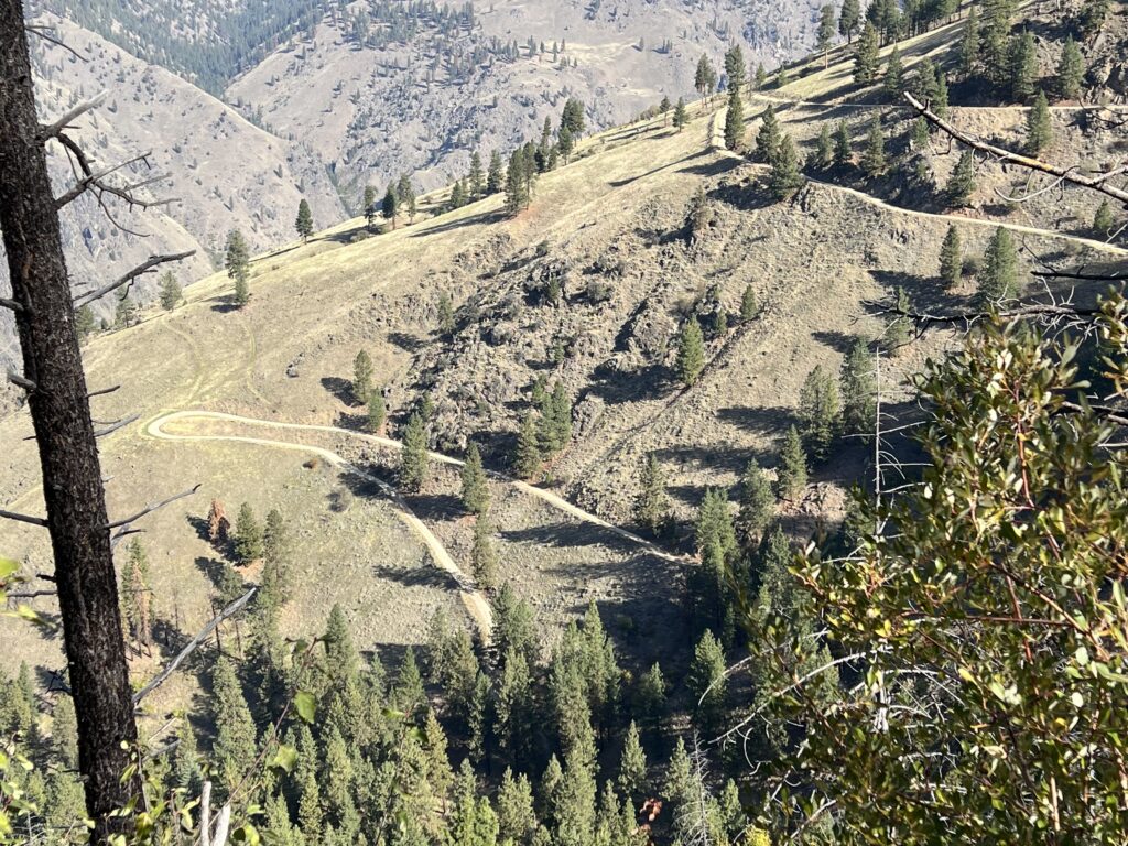
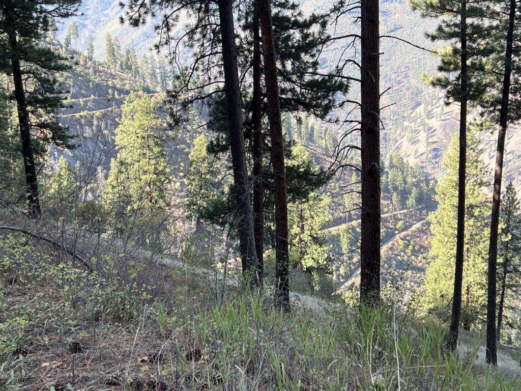

Awesome Road, Surprising View.
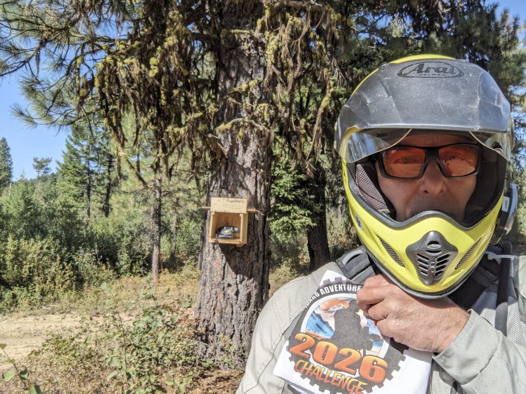
54 – Missouri Mine Phone Booth (2+)
44°00'43.4"N 115°50'57.6"W
Intersection of Missouri Mine Road and FS395 - about halfway between Centerville and Grimes Pass.
Missouri Mine Road is a gem. Beautiful scenic views around every turn!
It's a moderately wide dirt/rocky road with lots of uphills, downhills, turns, and switchbacks. The last thing I expected to see was this "phone booth" on the west side of Missouri Mine Road, as I approached FS395 from the south.

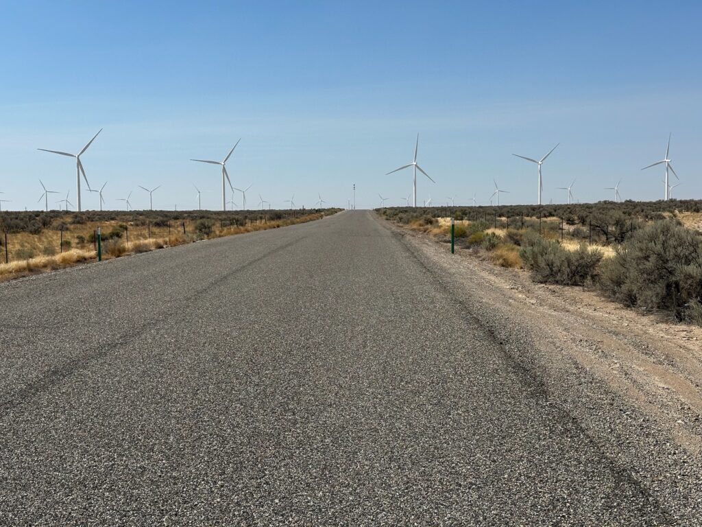
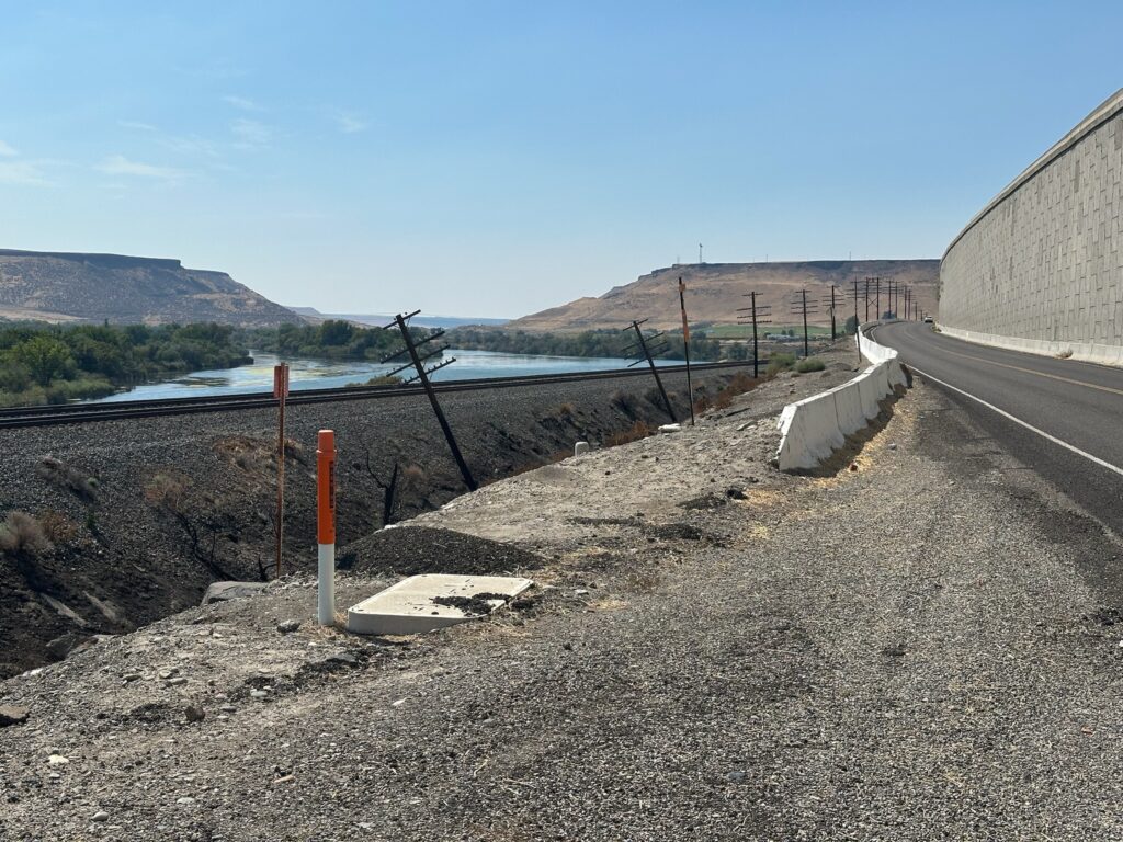
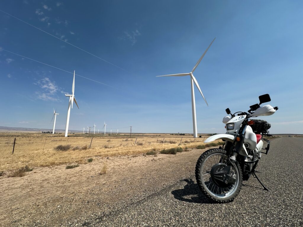
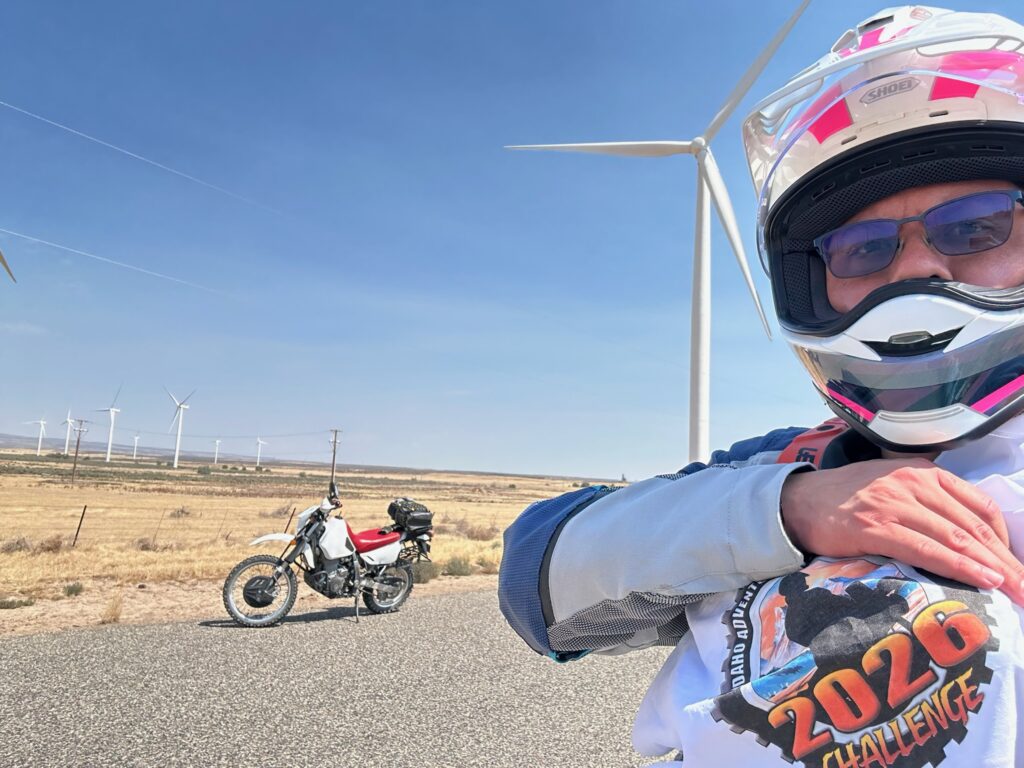
Old Oregon Trail Rd. between Mountain Home and Glenns Ferry: a calming ride right through the middle of a wind farm. The wind turbines are impressive and this puts you right in the middle of them, also with easy access to Bennet Mountain, a fun curvy road down into Hammett (Hammet Hill Rd.), or meet up with Old Highway 30 between Glenns Ferry and Hammett to get on the other side of the large retaining wall on I-84 and down next to the Snake River.
Not challenging, but a nice place.
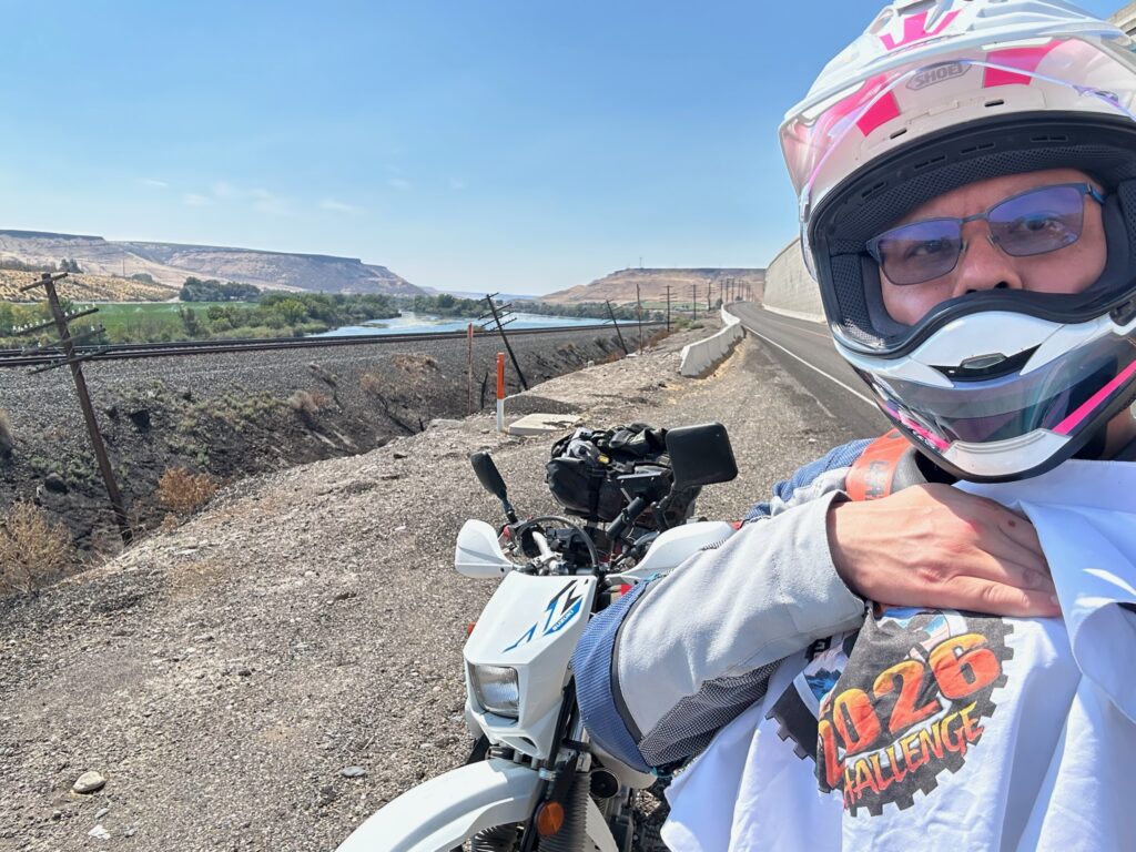

Rowland Rd between highway 51 and Jarbridge. Heading south on 51 take the road just past Grasmere Airport.
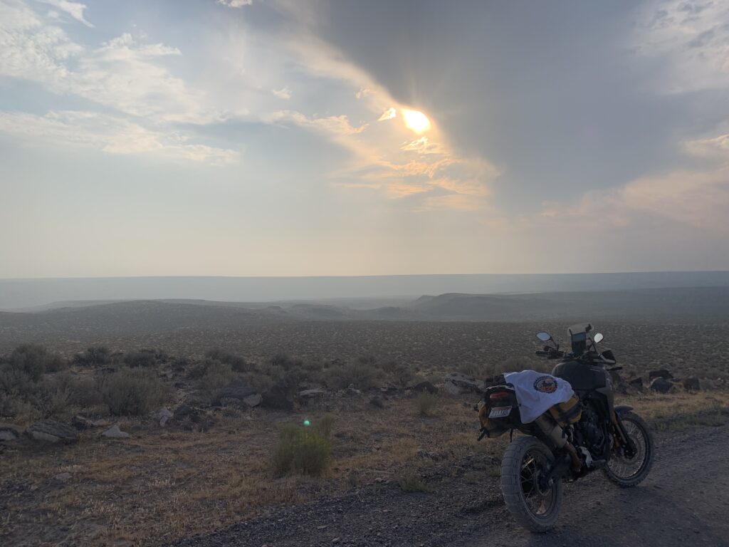
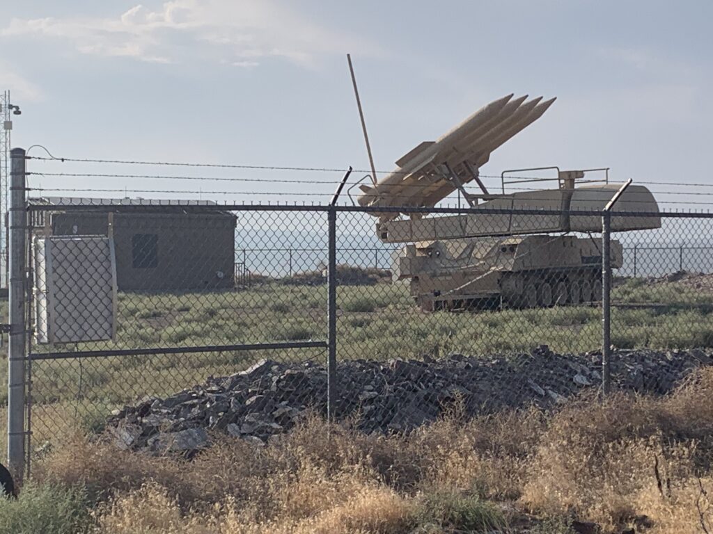
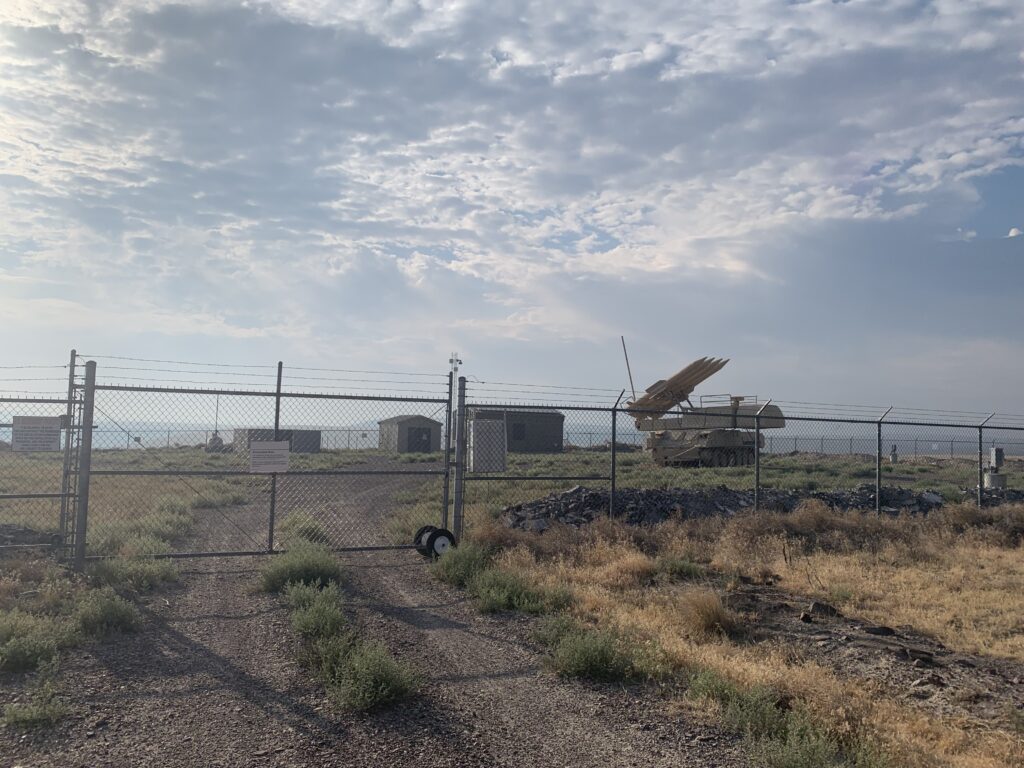
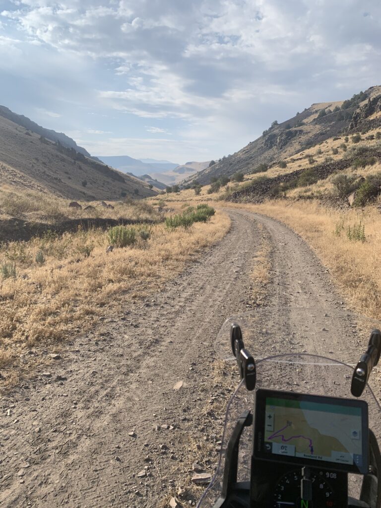

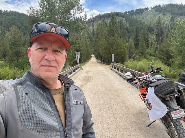
The bridge over North Fork Boise River at Barber Flat, east of Idaho City. This is on the Idaho BDR. Also my very first campsite while moto-camping is right down the river on the lefthand side. I took my friend Ken (he's from Arkansas) and he was blown away by the beauty of this valley. 43.80917, -115.53656
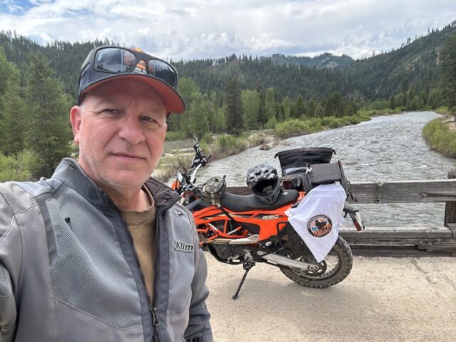

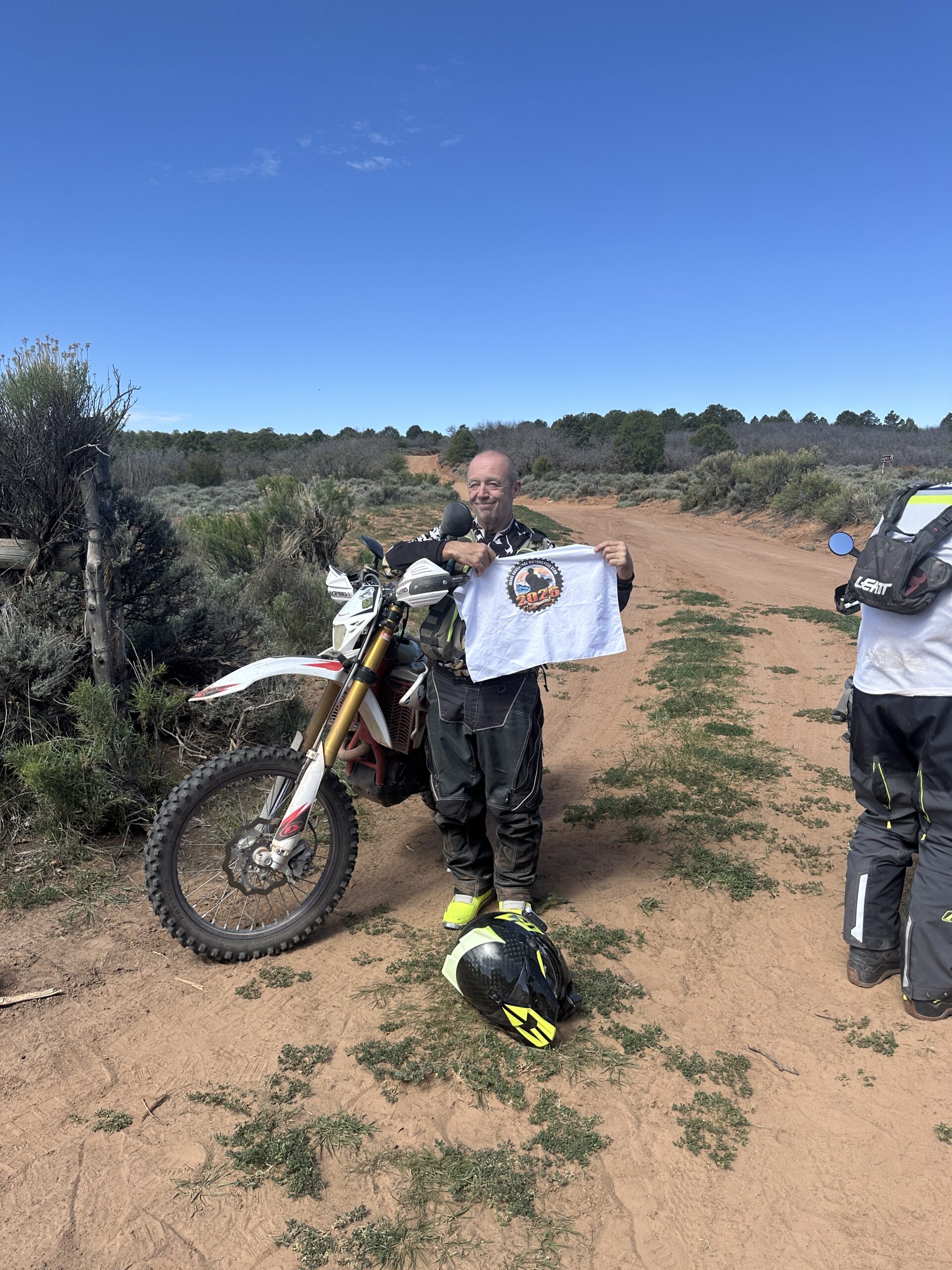

Pike Mountain overlook has a 360 degree view ranging from the magic valley to northern Nevada mountain range. 20 miles of curvy pavement and the last 5 miles of gravel road. 42.19114, -114.27248


This is the only motorcycle accessible airmail arrow near Boise. Site 26 https://g.co/gemini/share/44521d4566a1
Access off Ditto Creek road and Desert Duck road, then via rough double tracks. https://goo.gl/maps/dybXJcG4UECvW6NX8
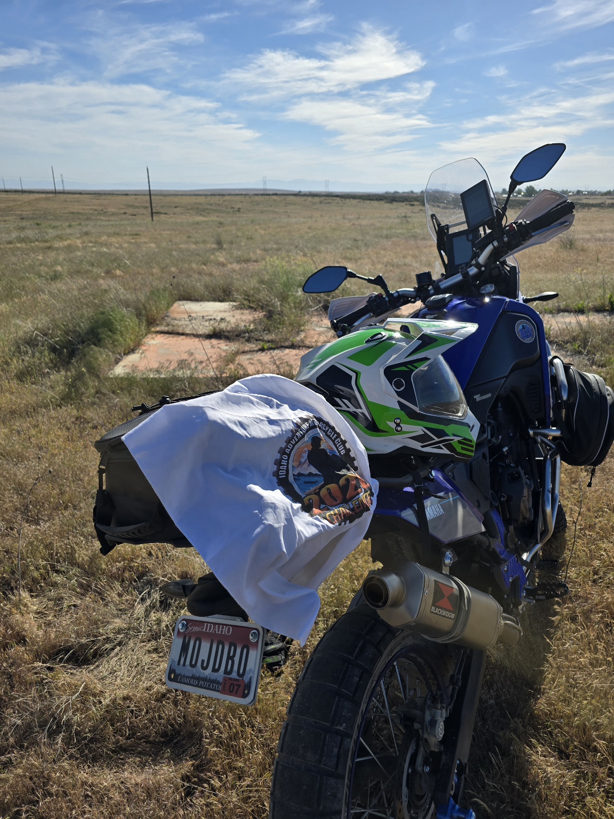
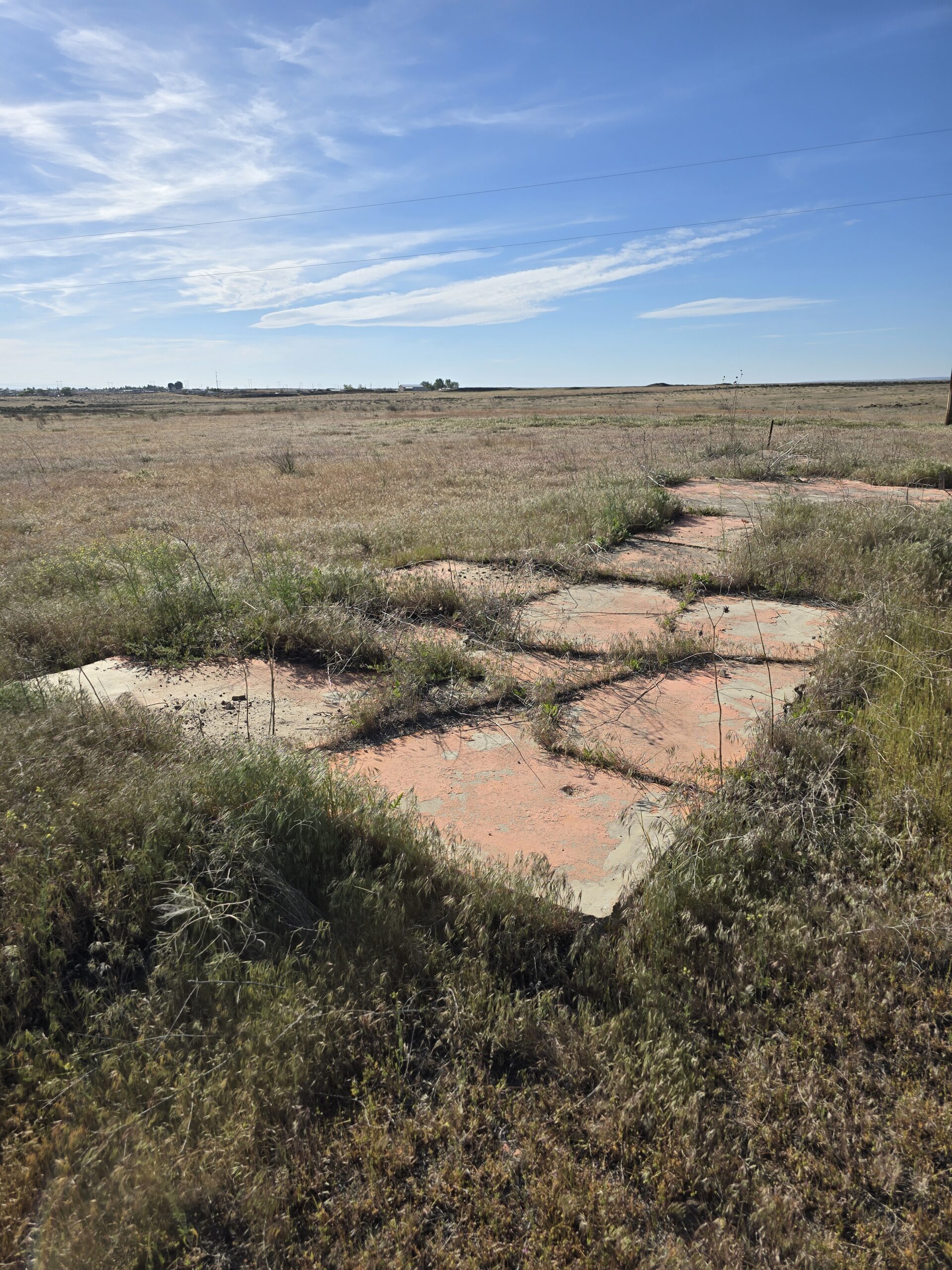
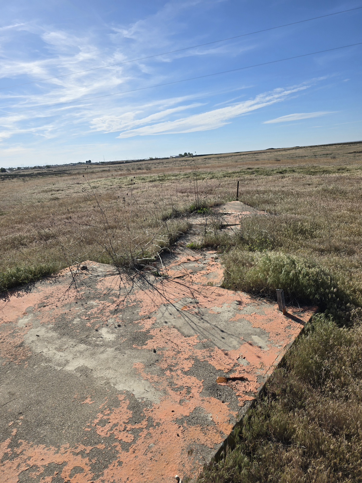
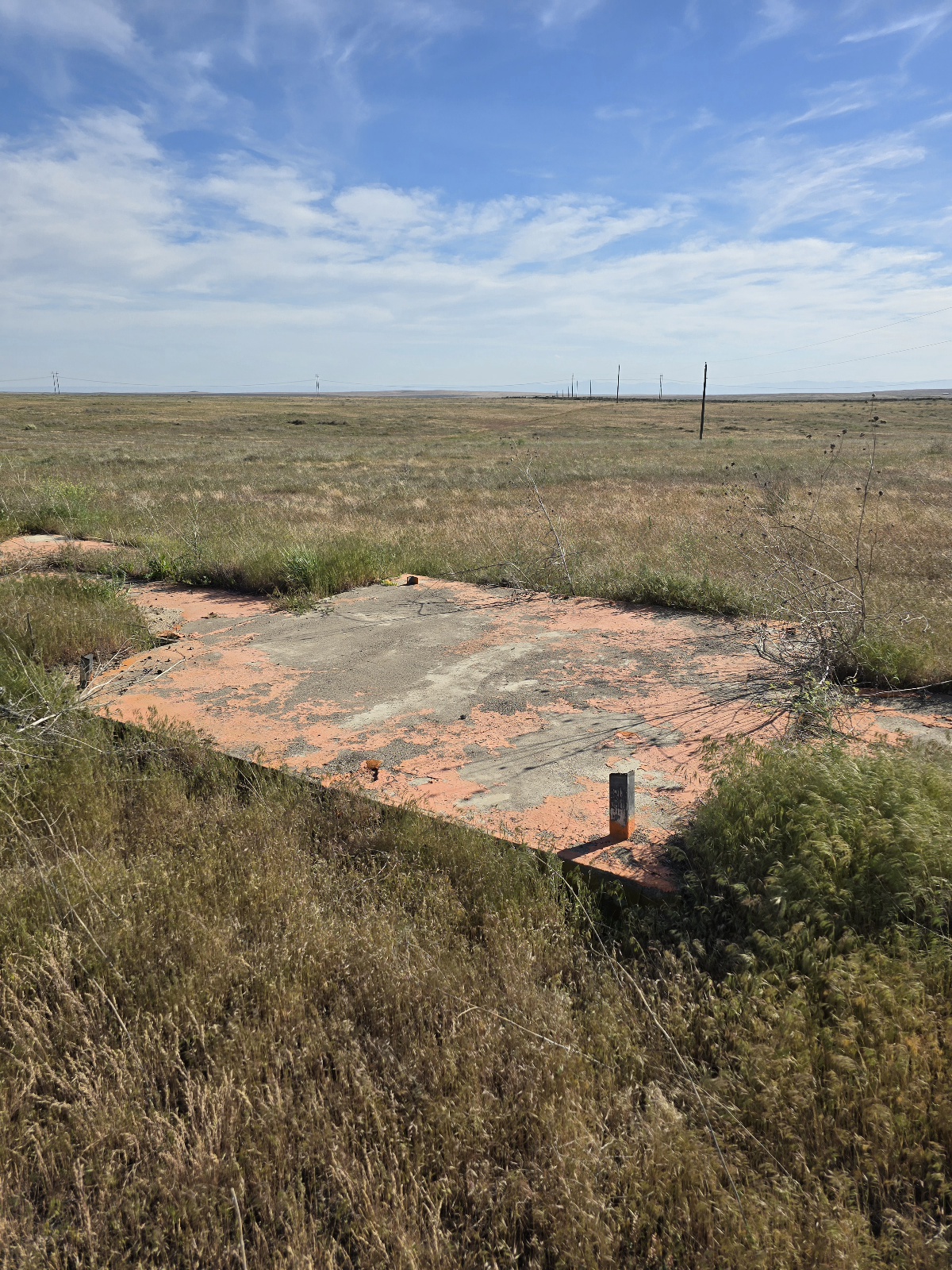
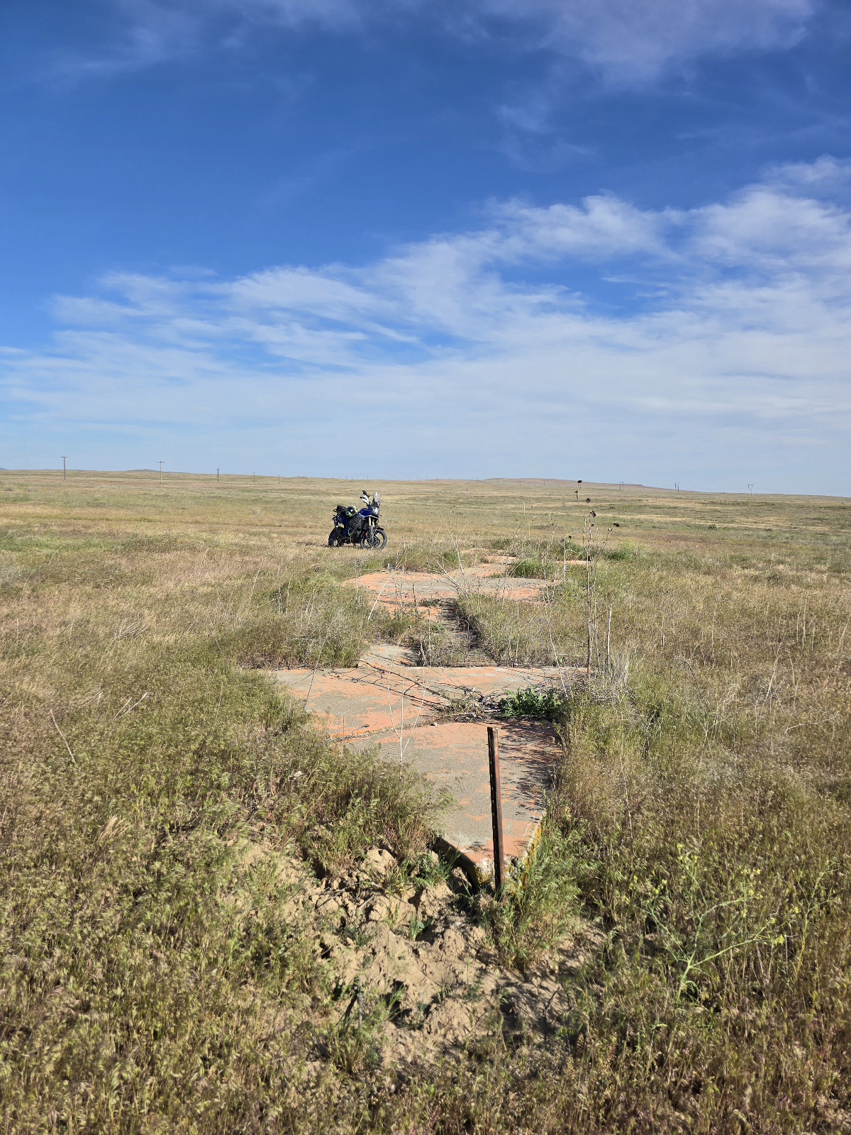
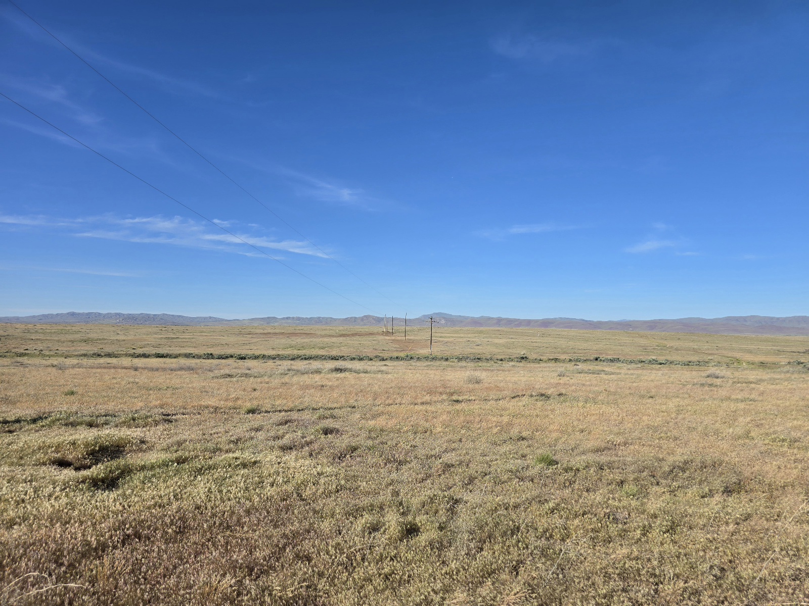
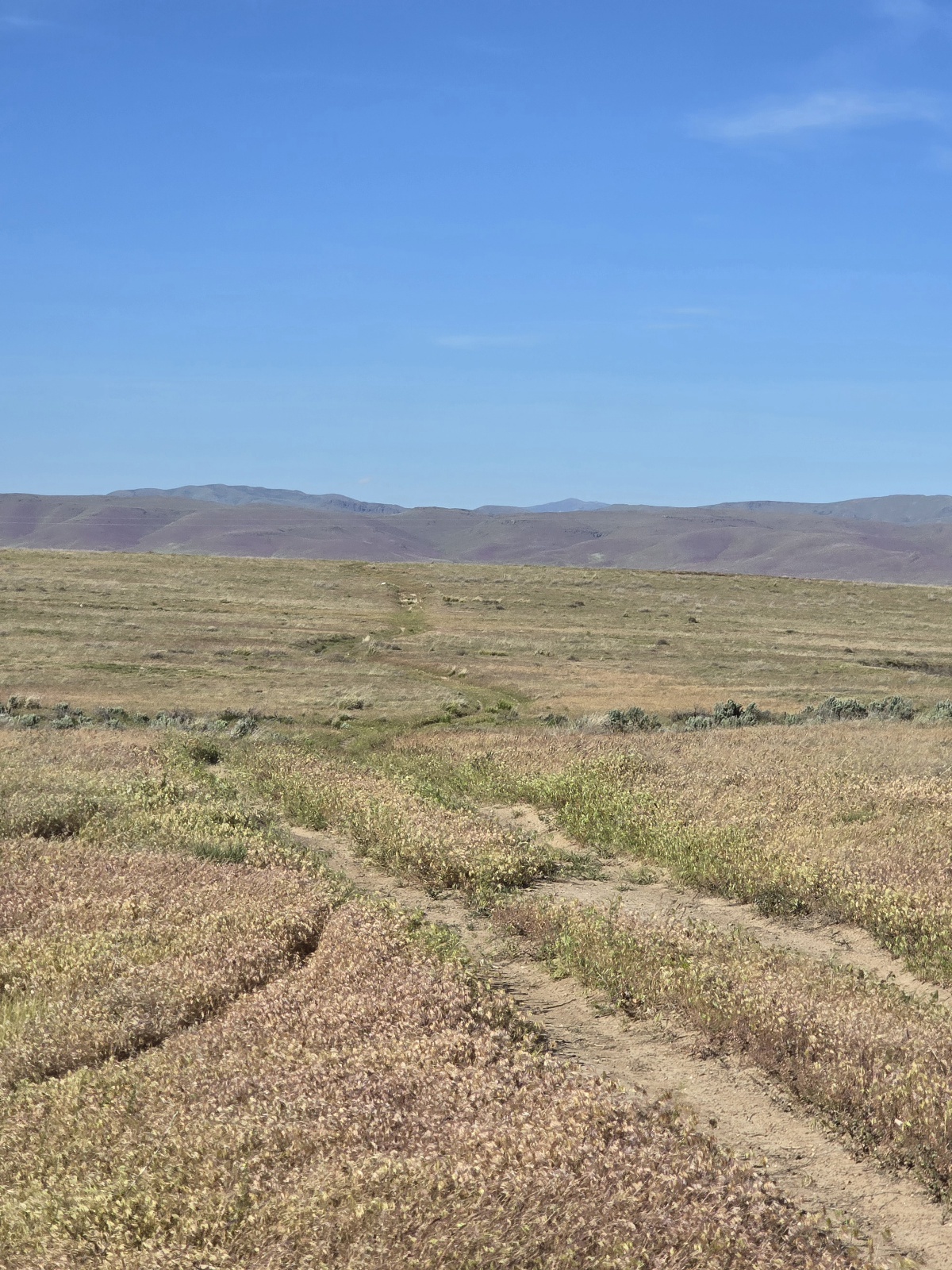

Coordinates 44.64992, -120.26671
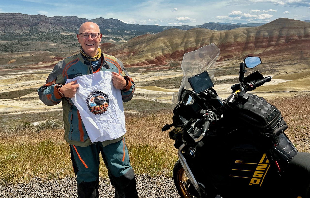
The Painted Hills is a geologic site in Wheeler County, Oregon that is one of the three units of the John Day Fossil Beds National Monument along with Sheep Rock and Clarno. It totals 3,132 acres and is located 9 miles northwest of Mitchell, Oregon. The Painted Hills are listed as one of the Seven Wonders of Oregon.
This area of Oregon has endless miles of paved and gravel motorcycle adventure routes to enjoy on your motorcycle.

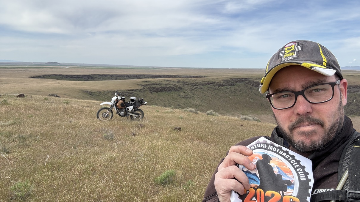
Knocking this one out early with a visit to the Crater Rings. Hard to get a picture of both craters. I rode down from the north, through the middle of the craters and then up around the eastern one to take this shot showing both. Awesome view. Would have been very hot without the cloud cover.
https://maps.app.goo.gl/qEw3a11vc9XCufz49