Description
Tucked in Idaho’s Cuddy Mountains near Council in Adams County, Peck Mountain (approx. 5,150 ft) is a quiet gem for adventure motorcycle riders seeking off-the-beaten-path exploration.
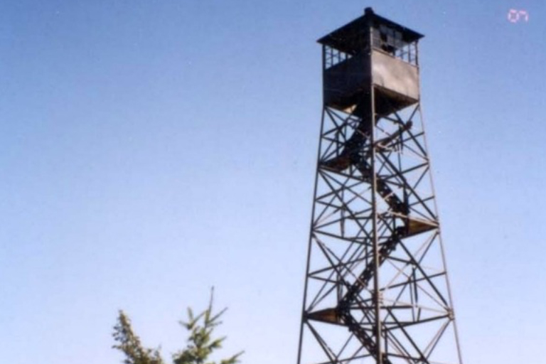
Once home to a historic fire lookout (established 1919 with a later 45-ft steel tower removed in 2007), the summit offers panoramic views and a short hike from forest roads. Dual-sport and ADV riders detour here for fresh air, a leg stretch, and a taste of Payette National Forest solitude away from the main IDBDR. Respect private land, pack in/pack out, and enjoy the rugged western Idaho scenery.
More Information
Coordinates: 44.86228, -116.61096
Elevation: 5120 ft
Difficulty: 3
What to Expect:
Check In
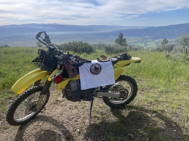
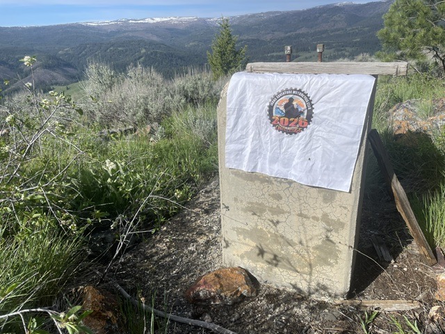
Use the form below to check in. Check-ins must include a photo of you or your bike at the challenge site with the 2026 bandanna. All participants must be registered IAMC Challenge Members. Leave a description of your ride and share road conditions — snow, water, obstacles, and tips for future riders are all appreciated.
Replying to another person's check-in is encouraged, but take care not to accidentally create your own check-in.
The stated difficulty is an estimate. Rating your experience helps future riders stay safe. You alone are responsible for the safety of your ride.
9 Check-Ins

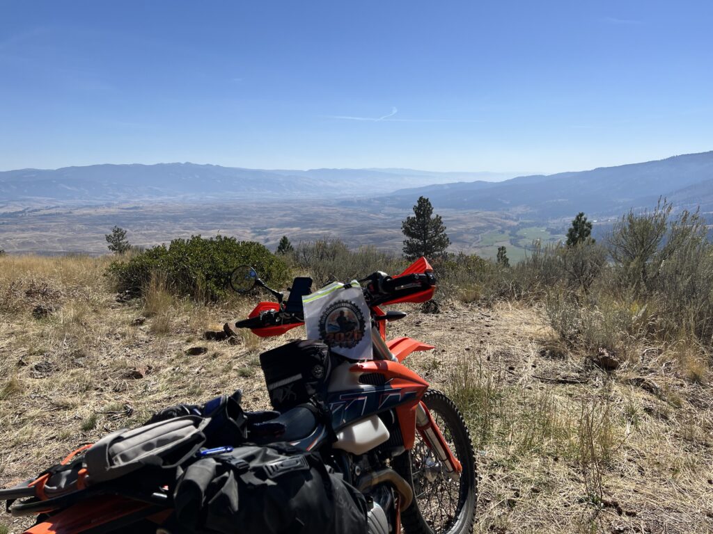

I used the Council Inn as a home base, which was a nice choice. From there the site was about 16 mi away on pavement, then the last 2 miles are off-pavement for the ascent.
Difficulty is 3: it's still rocky, loose, and rutted. Watch out for the barbed wire "gate" midway that is half up and half lying across the road; you don't want to roll over it, presumably.
As others have noted, nice view, but not much left of the lookout.
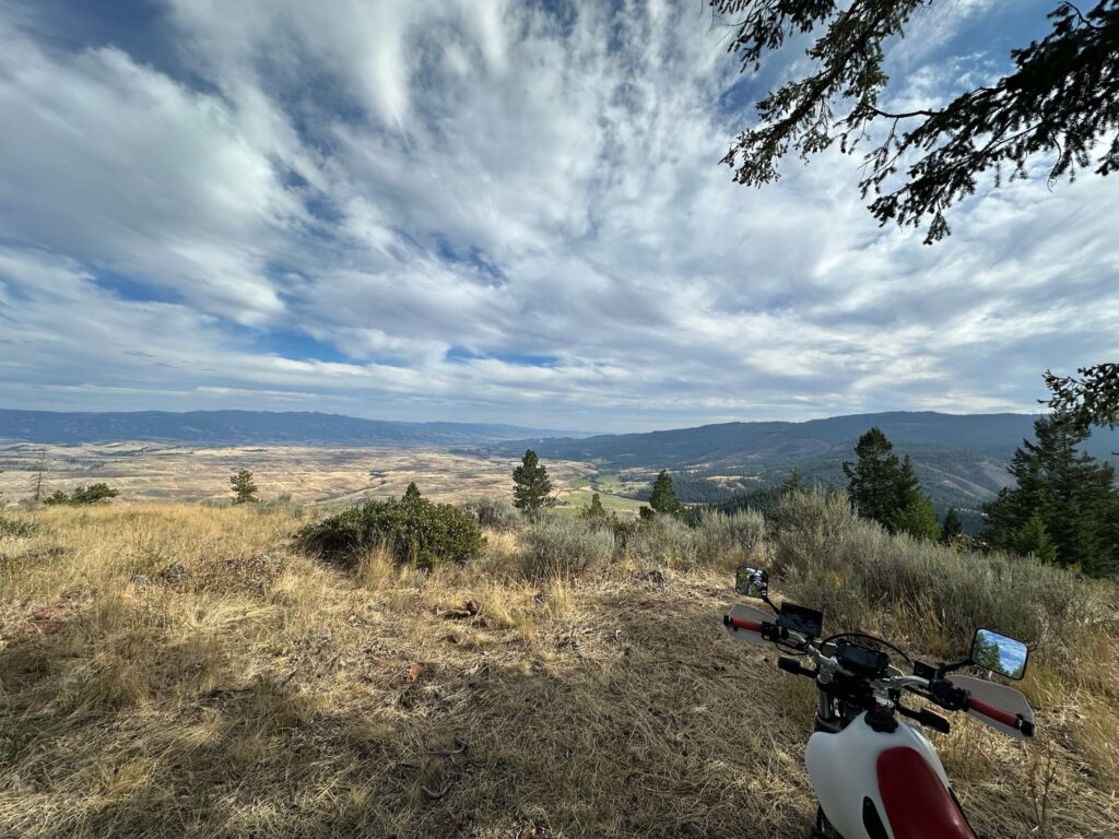
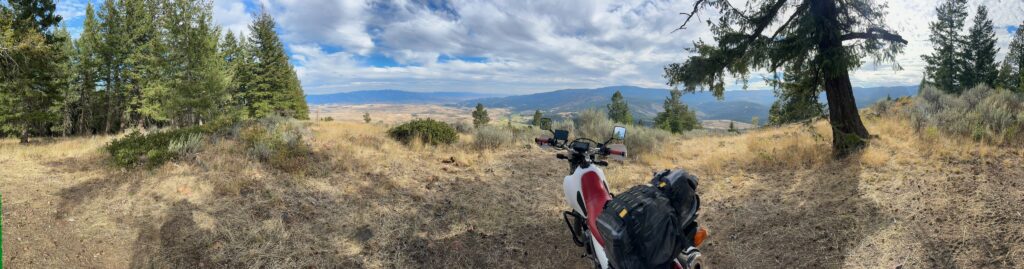
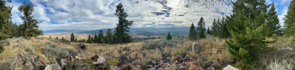
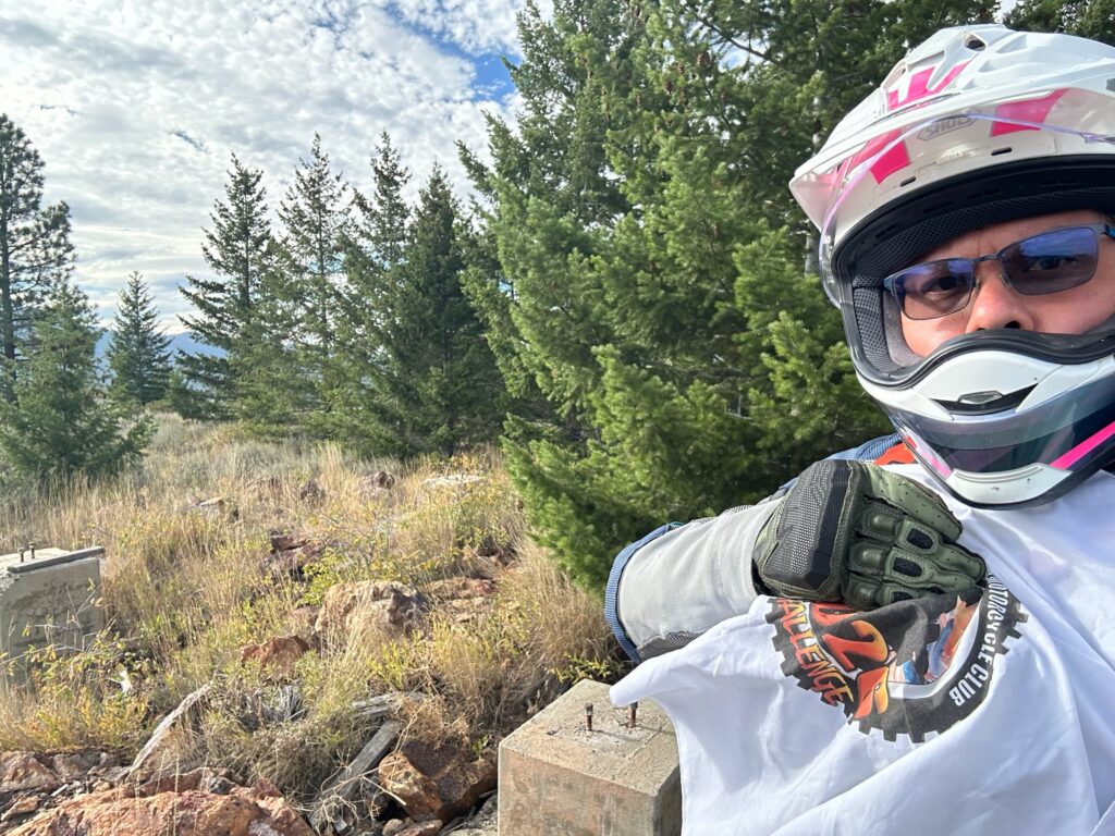

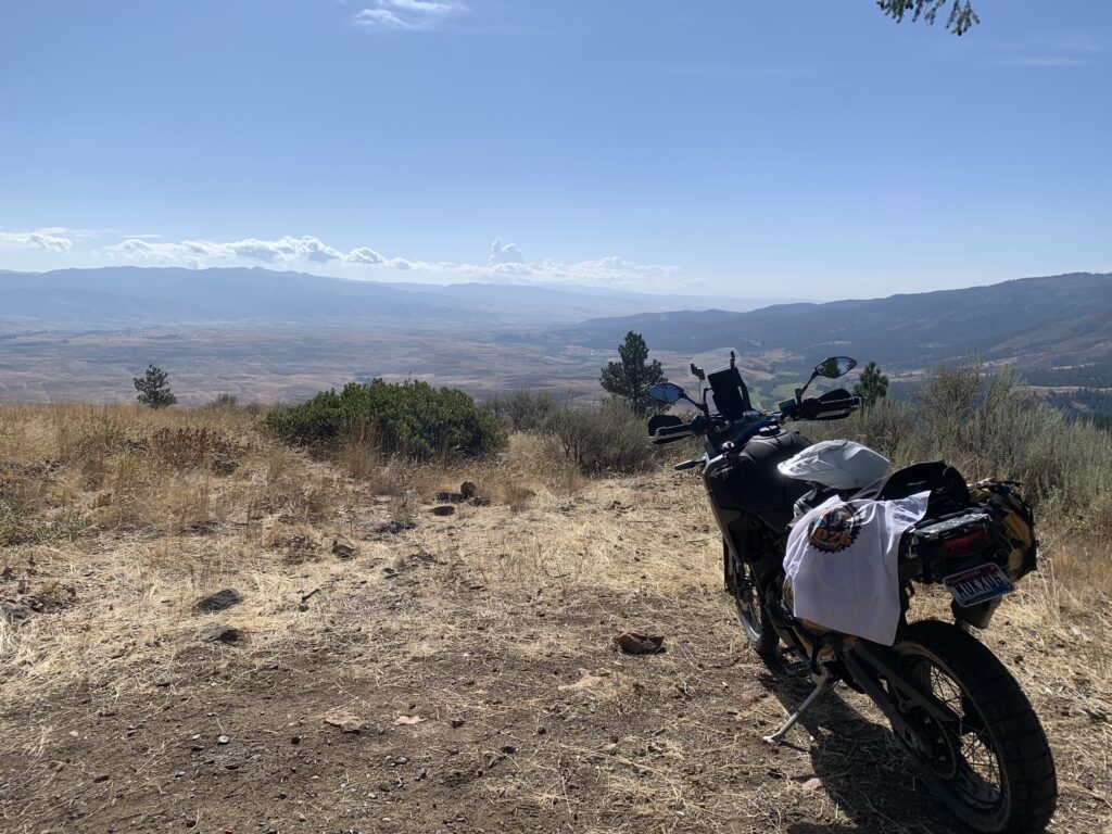

Not much to add to what others have said. They pretty much covered everything.
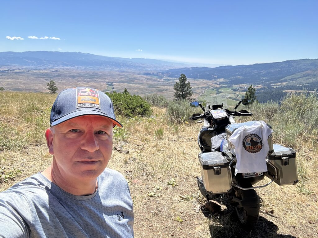
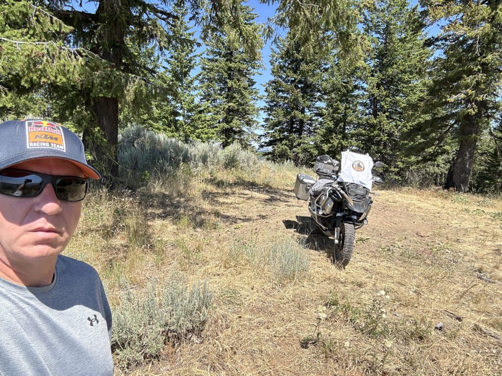
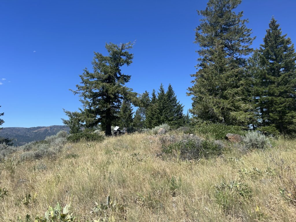
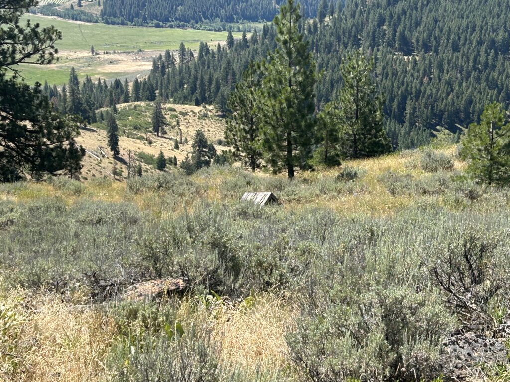

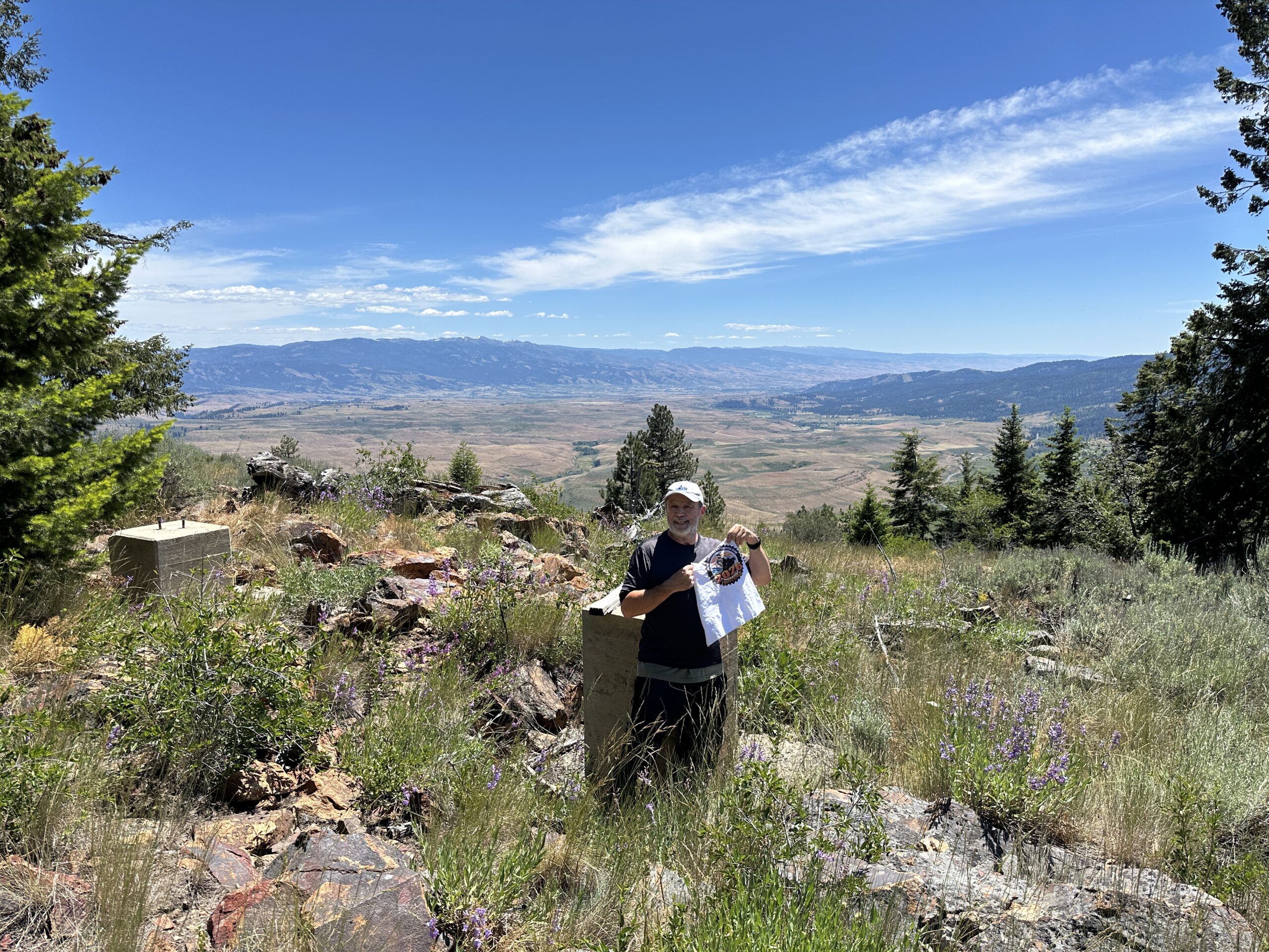
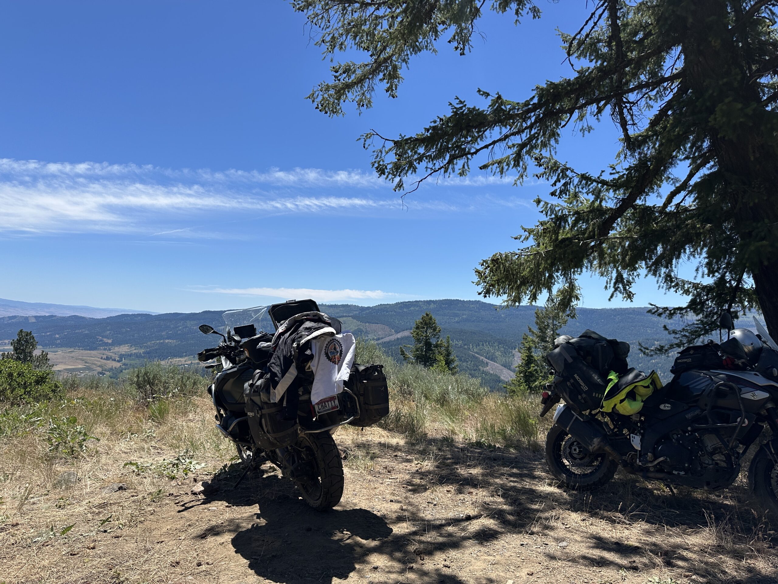

Great view. I had plenty of room to turn around at the top with the big adventure Bike.
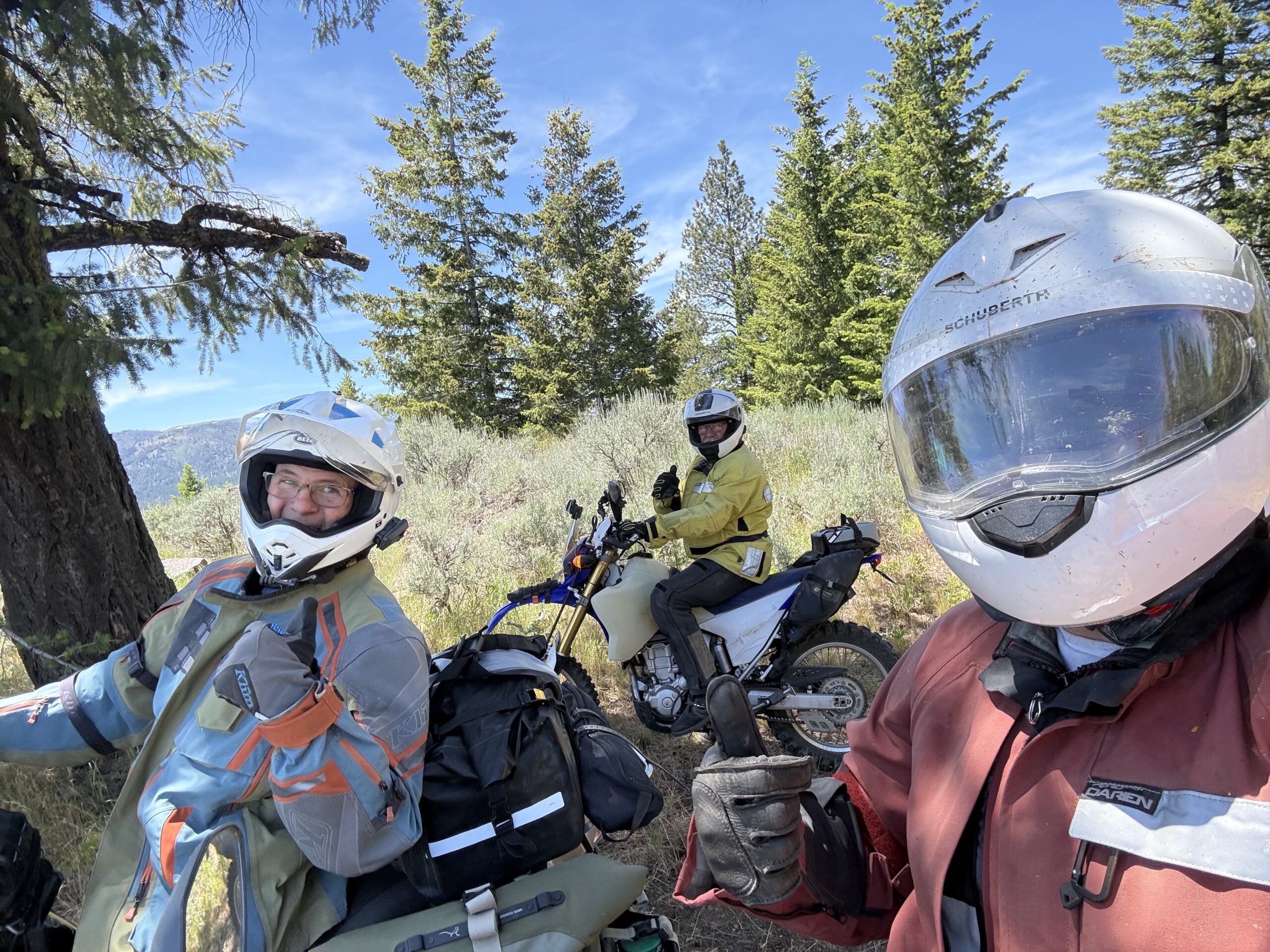
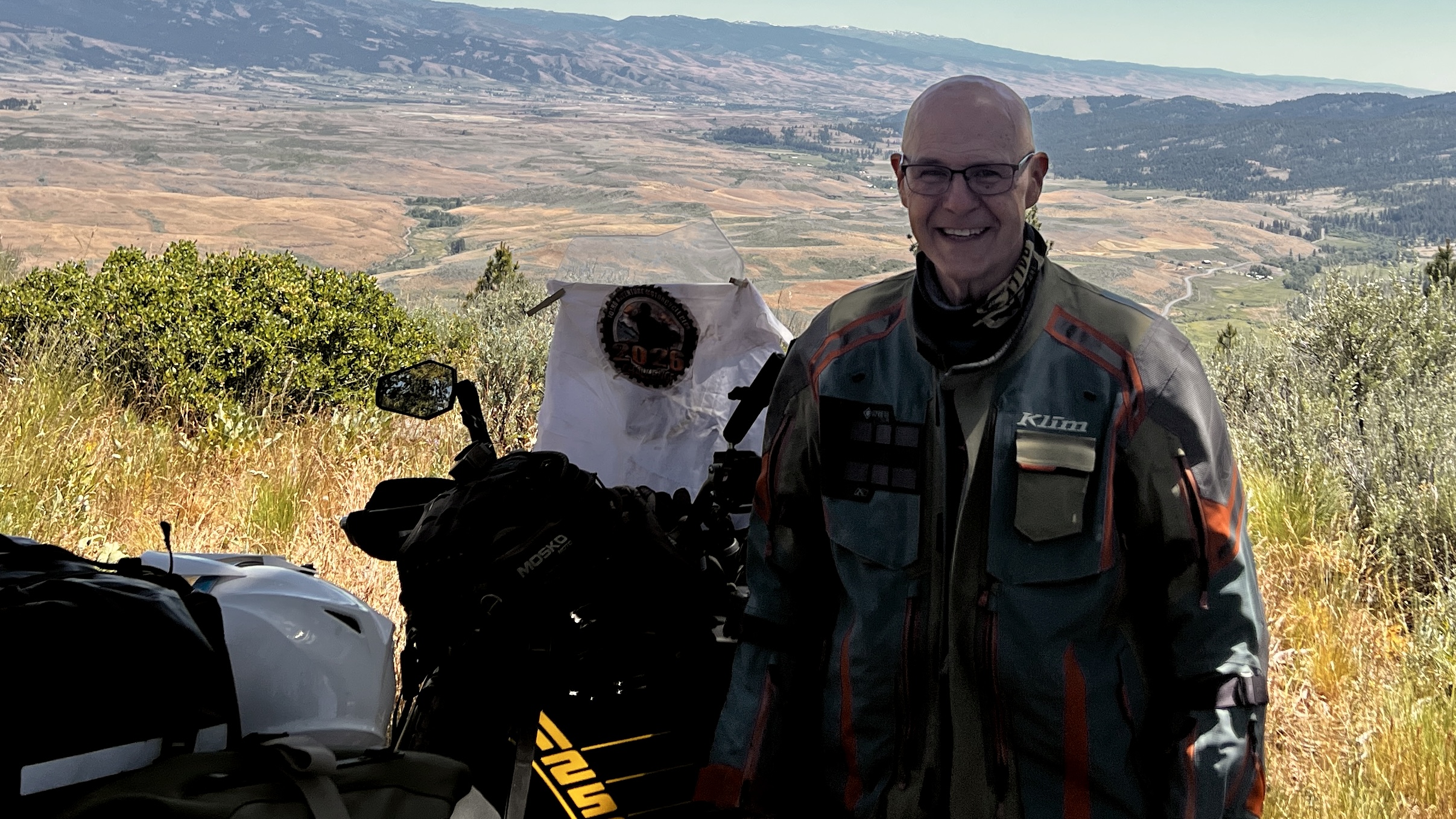

It's a quick 2 miles to the top of the hill. There's a fork about halfway up; the left goes to a private driveway (the better surface), but the real road peels off to the right and follows the hillside. After the fork it's a tad spicy with some loose rocks, but I think it will smooth out over the summer as more vehicles drive up here. There's a beautiful view of the Council valley. Not much left of the lookout, but if you focus you'll see some of the rocks cleared for the path, the flagpole, and the concrete steps at the base.
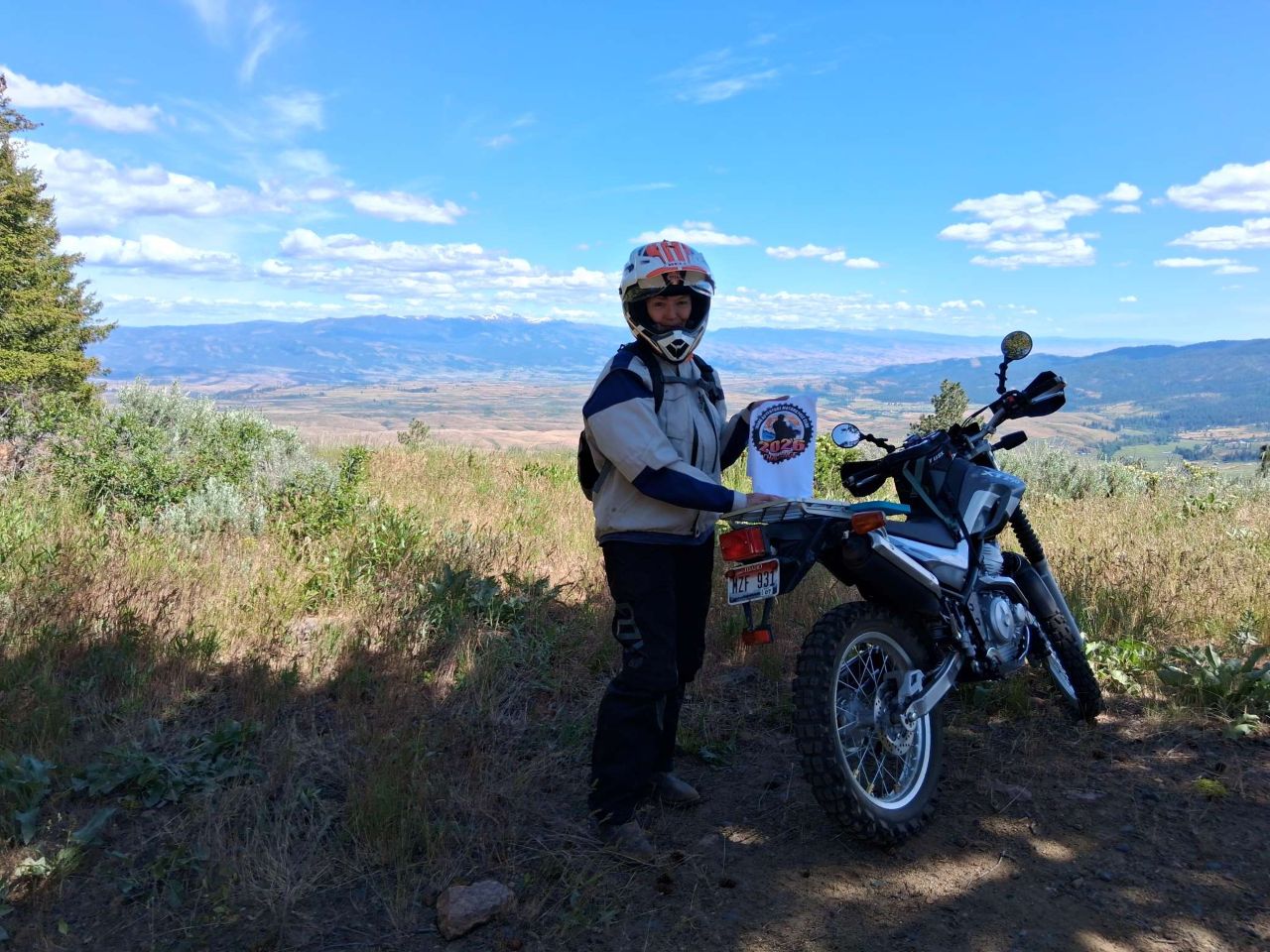

Only about 1.5 miles from pavement with one gate to pass through. It was a fun trail with a beautiful view. I'm rating it a easy 3.
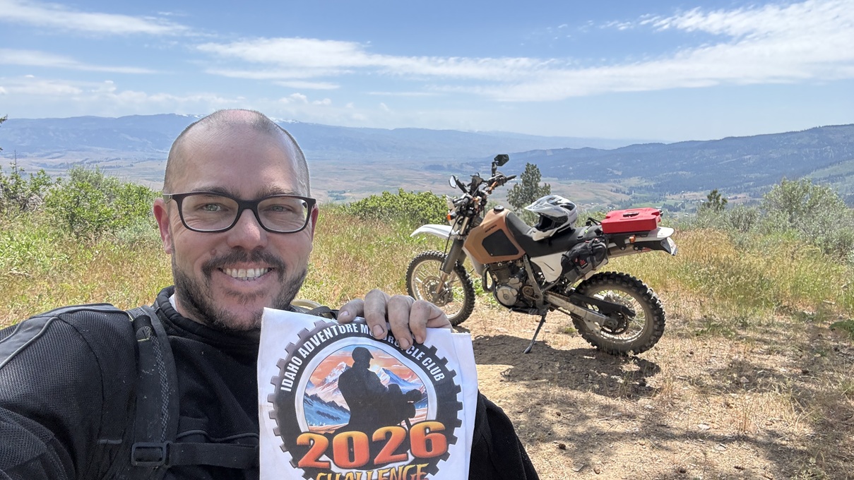

Not much left of the lookout. Plenty of sharp rocks on the way up to watch for.