Description
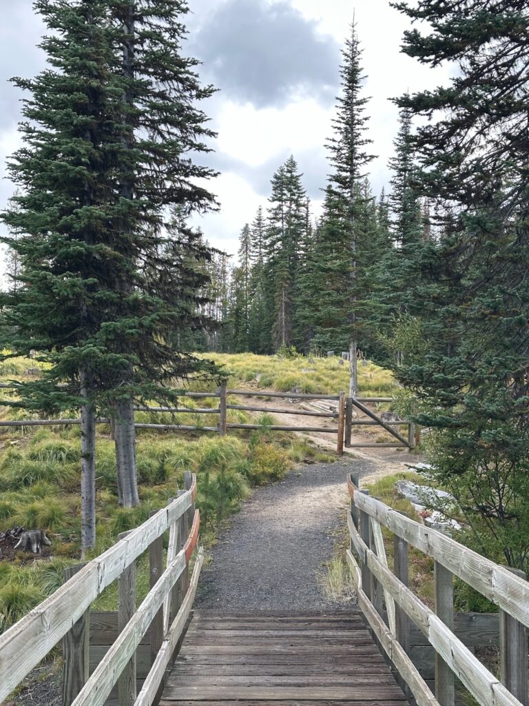
Tucked along the Idaho Backcountry Discovery Route (IDBDR) in remote Idaho County near the old Florence ghost town, the historic Florence Cemetery offers a fascinating stop for adventure motorcycle riders.
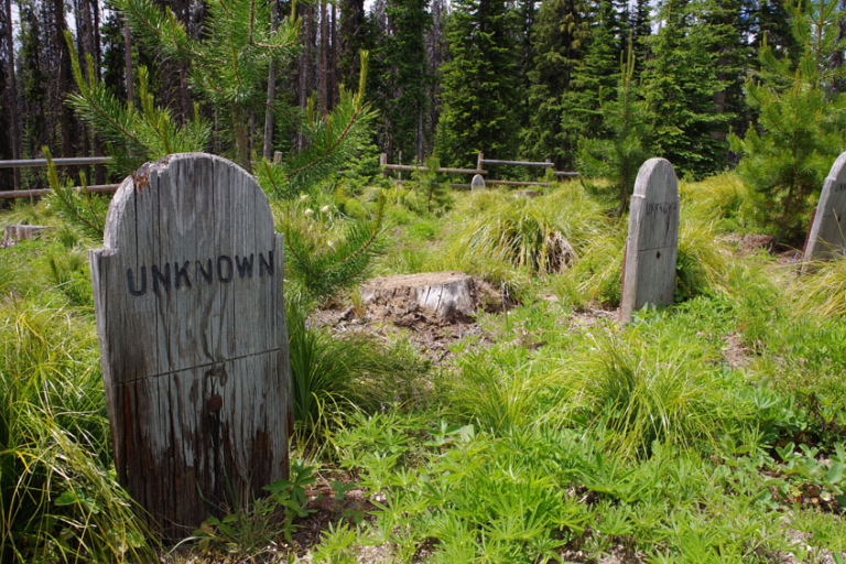
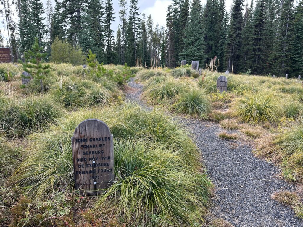
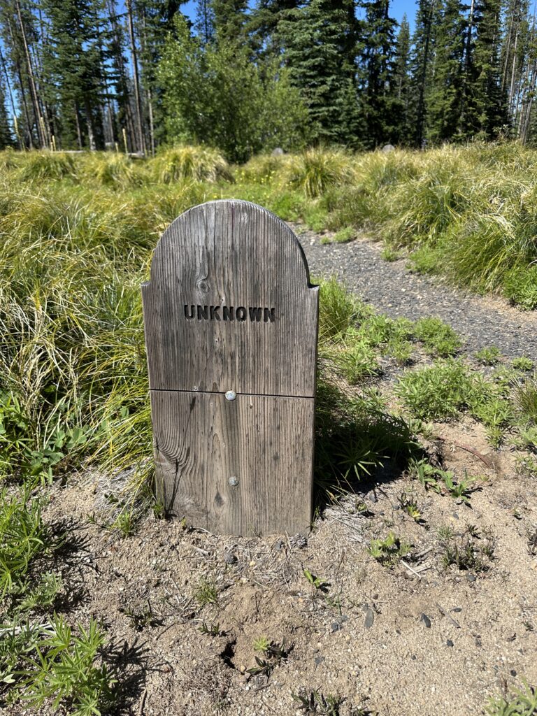
At around 6,000 feet elevation, riders on dual-sport and ADV bikes pull over after tackling rugged gravel and forest roads to explore old tombstones, interpretive signs, and graves of 1860s gold rush miners, outlaws, and even exhumed Chinese miners.
A quick, reflective break amid the wild backcountry—perfect for stretching legs, snapping photos, and soaking in Wild West history before continuing the epic ride. Pack in/pack out and ride safe.
More Information
Coordinates: 45.510396, -116.030516
Elevation: 6050 ft
Difficulty: 3
What to Expect:
Check In
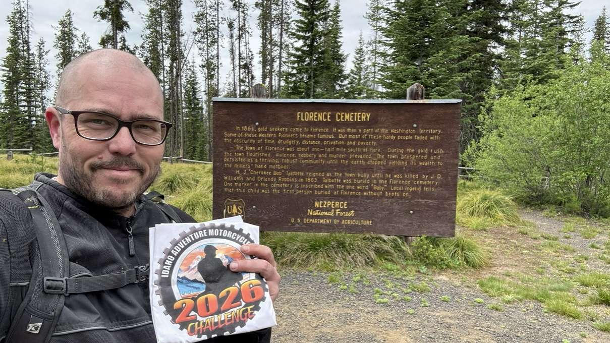
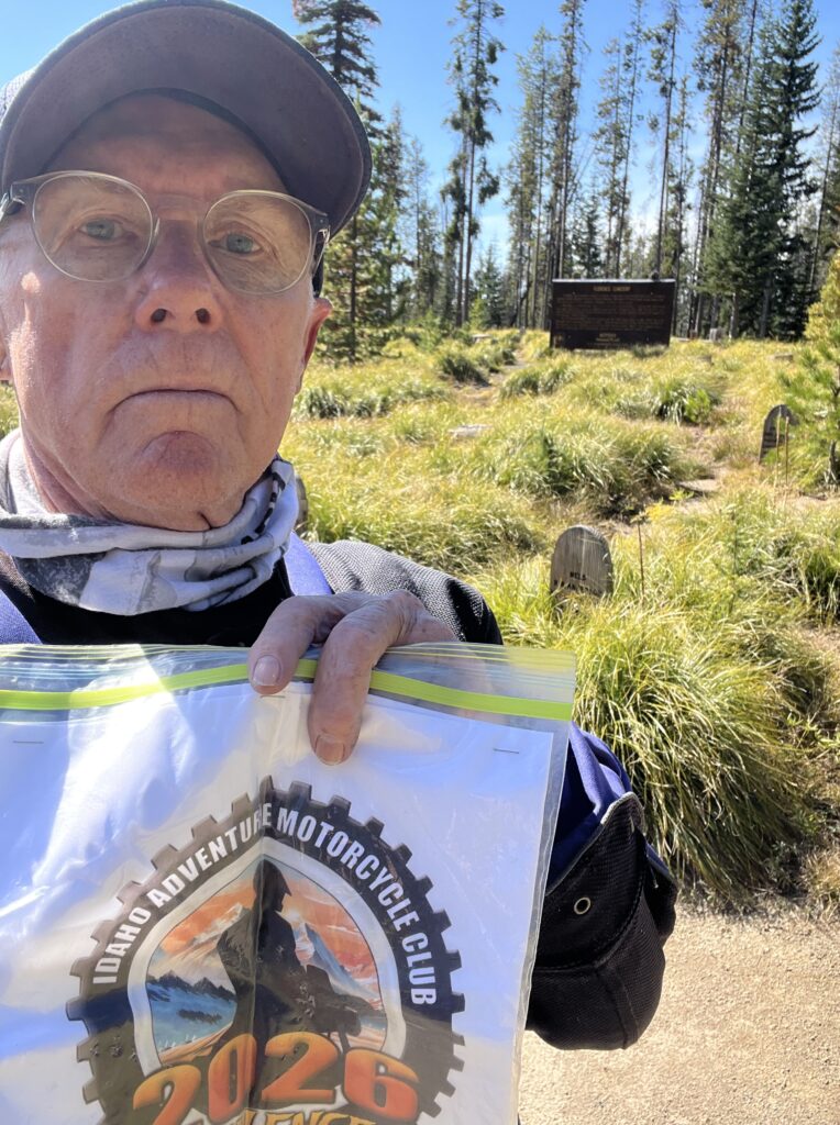
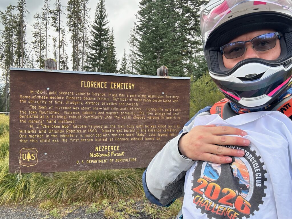
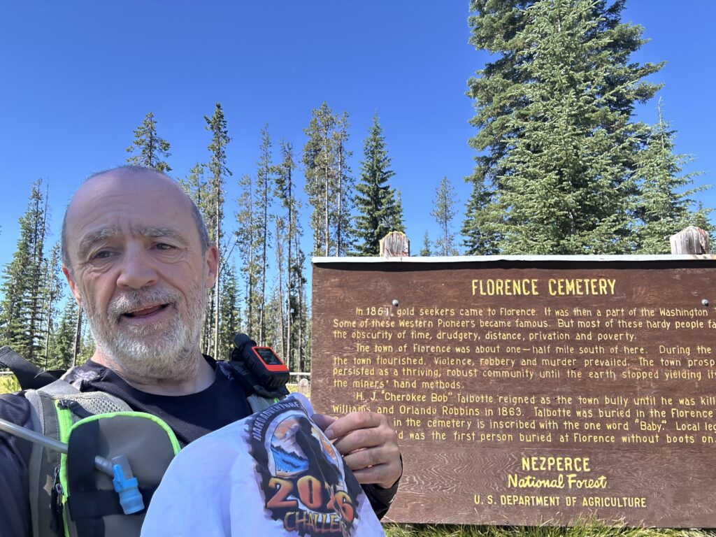
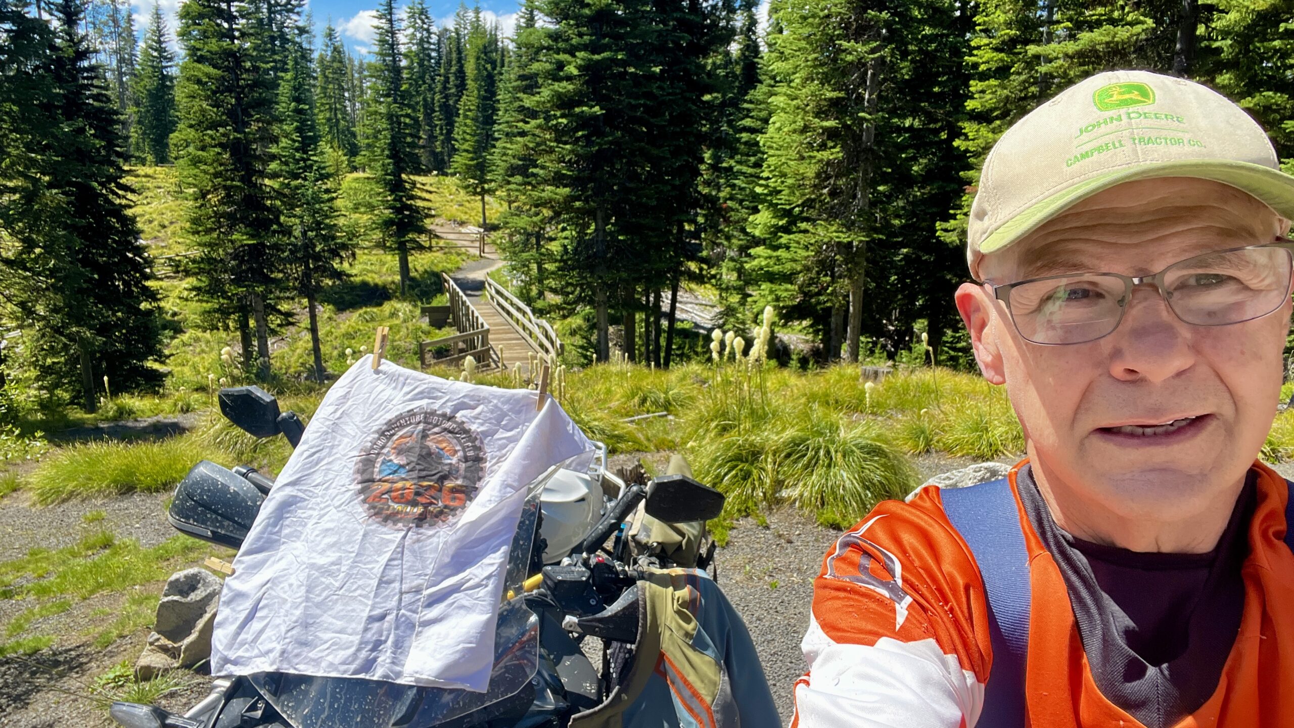
Use the form below to check in. Check-ins must include a photo of you or your bike at the challenge site with the 2026 bandanna. All participants must be registered IAMC Challenge Members. Leave a description of your ride and share road conditions — snow, water, obstacles, and tips for future riders are all appreciated.
Replying to another person's check-in is encouraged, but take care not to accidentally create your own check-in.
The stated difficulty is an estimate. Rating your experience helps future riders stay safe. You alone are responsible for the safety of your ride.
6 Check-Ins


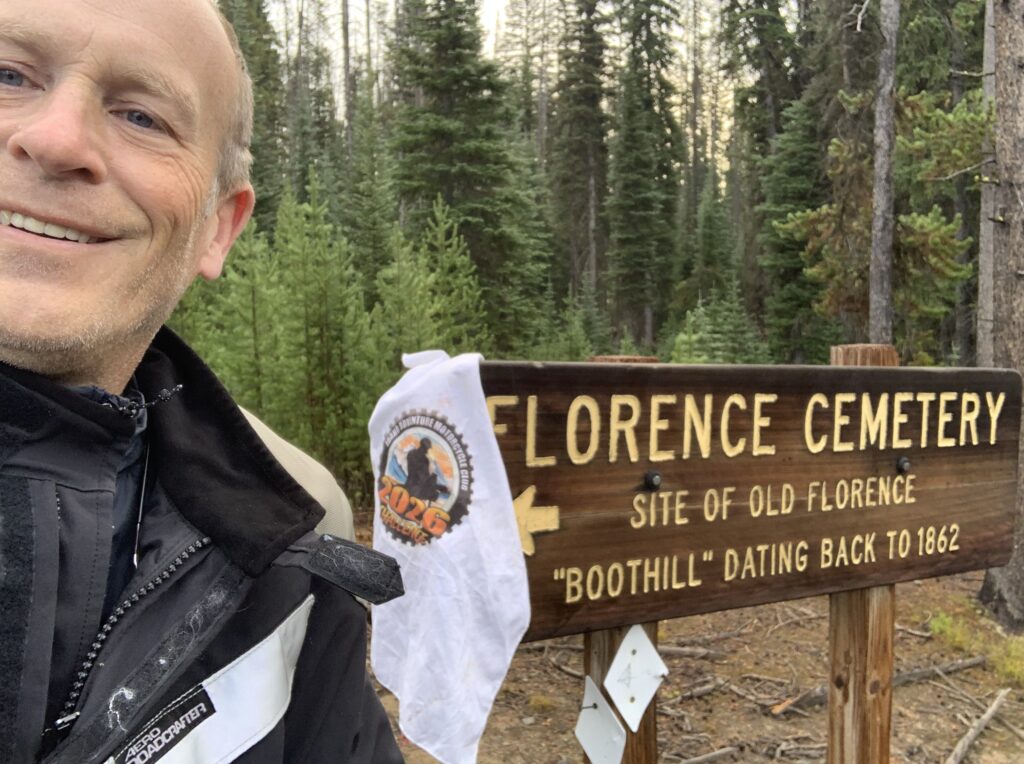

Used Salmon Rapids Lodge (Riggins) as a nice home base. The pavement ride from Riggins to the Idaho BDR joining Old Bus and Florence is a really excellent and beautiful ride.
As alluded to below, I guess there is an easy way (following the road signs for Florence) and a hard way (following 643 on the Idaho BDR). I took the hard way in and the easy way out since a storm was rolling in as I got to the cemetary.
221: Fast gravel but annoyingly washboarded over long sections. Nice views though.
643: Kind of a weird road, Idaho BDR path. Starts off as a nicely graded but oddly narrow gravel road, then abruptly turns into a very rutted, lumpy, eroded, and rocky 2-track that becomes almost single track in places due to fallen trees and growth. Had a couple of random high elevation cows. At least difficulty 3+ knocking on the door of 4.
Eventually 643 becomes a nice wide well maintained gravel road again, dropping you off at the the turnoffs to Florence / Florence Cemetary.
On the way back I took 643 (nice part near Florence) -> 643C -> 9915 -> 394 -> 221, which is the fast gravel signed route back to Riggins. I'm guessing that's what more sensible people did when gauged as a 2. Since the Idaho BDR path seemed like the more "obvious" route when planning this, I'll give it a 3.
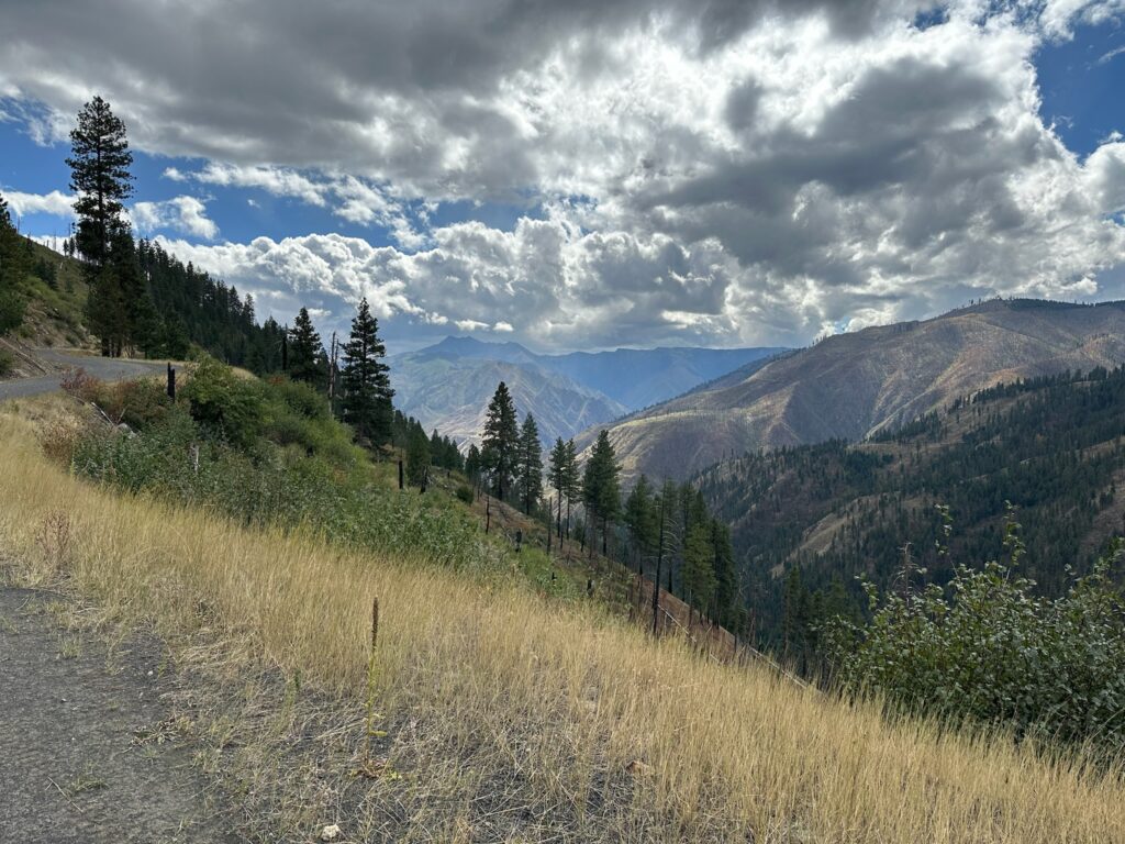
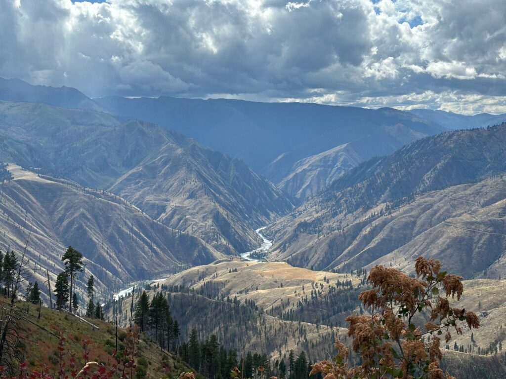
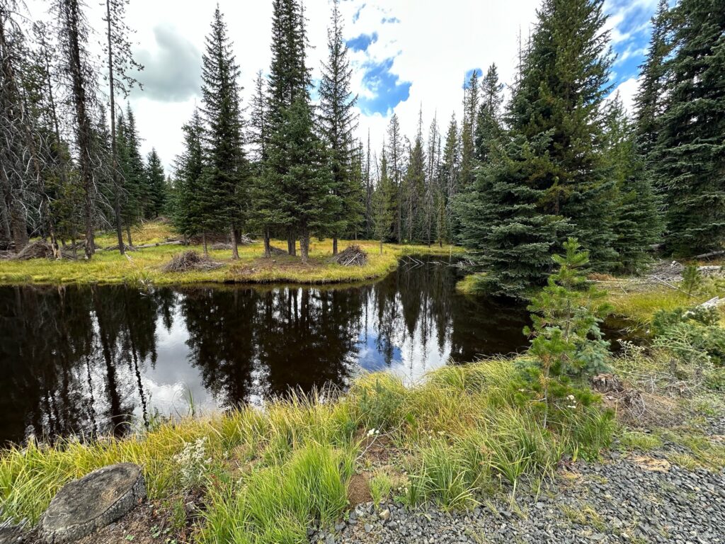
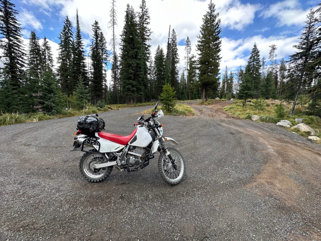


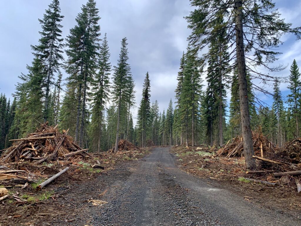
Good gravel road with great views on the way to Florence. The loggers let me through the active looging operation.

I started at the Allison Creek Picnic area. The road up to Florence is an easy gravel road if you follow the signs to Florence from there. Beautiful views along the way and a bit of logging to get through. I was there on Saturday and only saw one logger servicing one of 4 machines I saw.