Description
The St. Joe River tunnels, primarily found along the historic Milwaukee Road rail line in northern Idaho, are abandoned railroad tunnels now used for adventure driving and recreation. Key locations include 7+ tunnels along the scenic Moon Pass road between Avery and Wallace, and 9 tunnels on the famous Route of the Hiawatha biking trail.
More Information
Coordinates: 47.265800, -115.776402
Elevation: 2620 ft
Difficulty: 2
What to Expect:
Check In
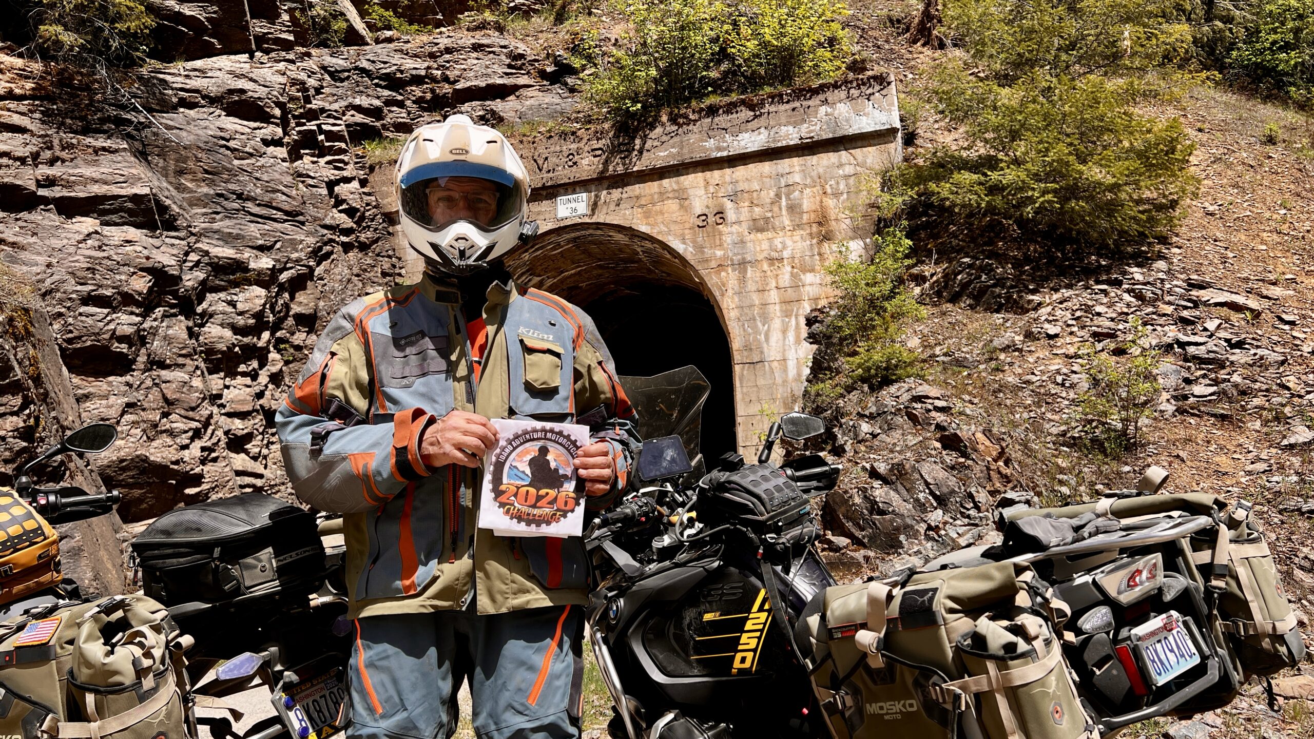
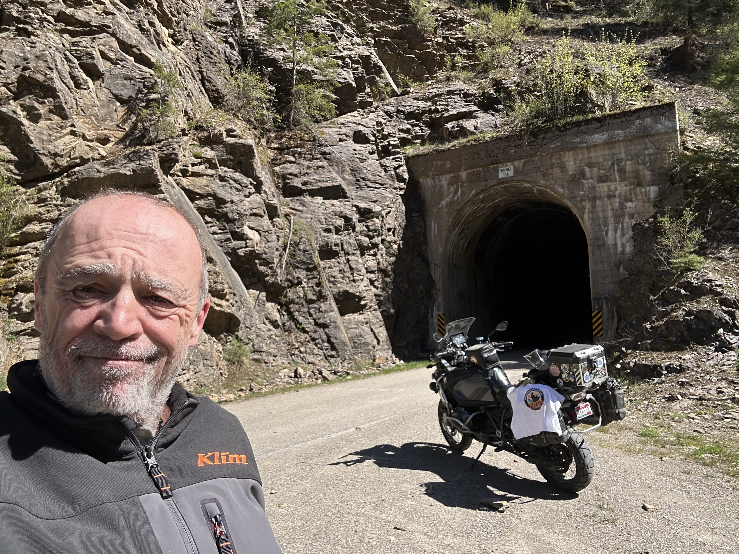
Use the form below to check in. Check-ins must include a photo of you or your bike at the challenge site with the 2026 bandanna. All participants must be registered IAMC Challenge Members. Leave a description of your ride and share road conditions — snow, water, obstacles, and tips for future riders are all appreciated.
Replying to another person's check-in is encouraged, but take care not to accidentally create your own check-in.
The stated difficulty is an estimate. Rating your experience helps future riders stay safe. You alone are responsible for the safety of your ride.
5 Check-Ins

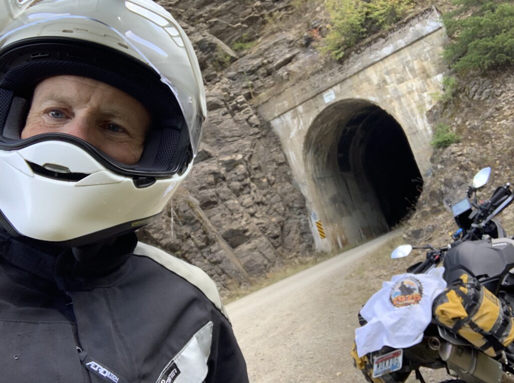
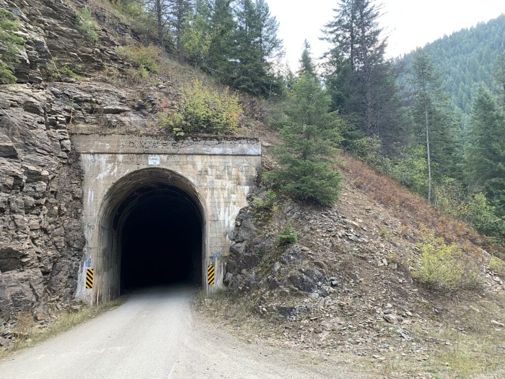
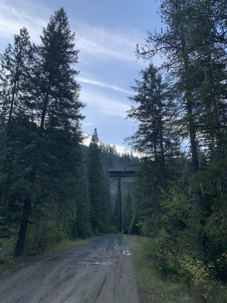

I was camping just 10 miles east of Avery, so this was a very short easy section to get to the tunnel.
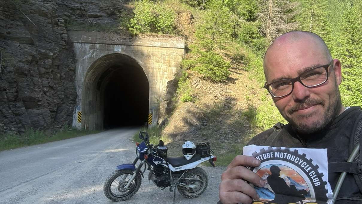

The ride from Wallace was loose gravel with some snow on the pass. Several tunnels.
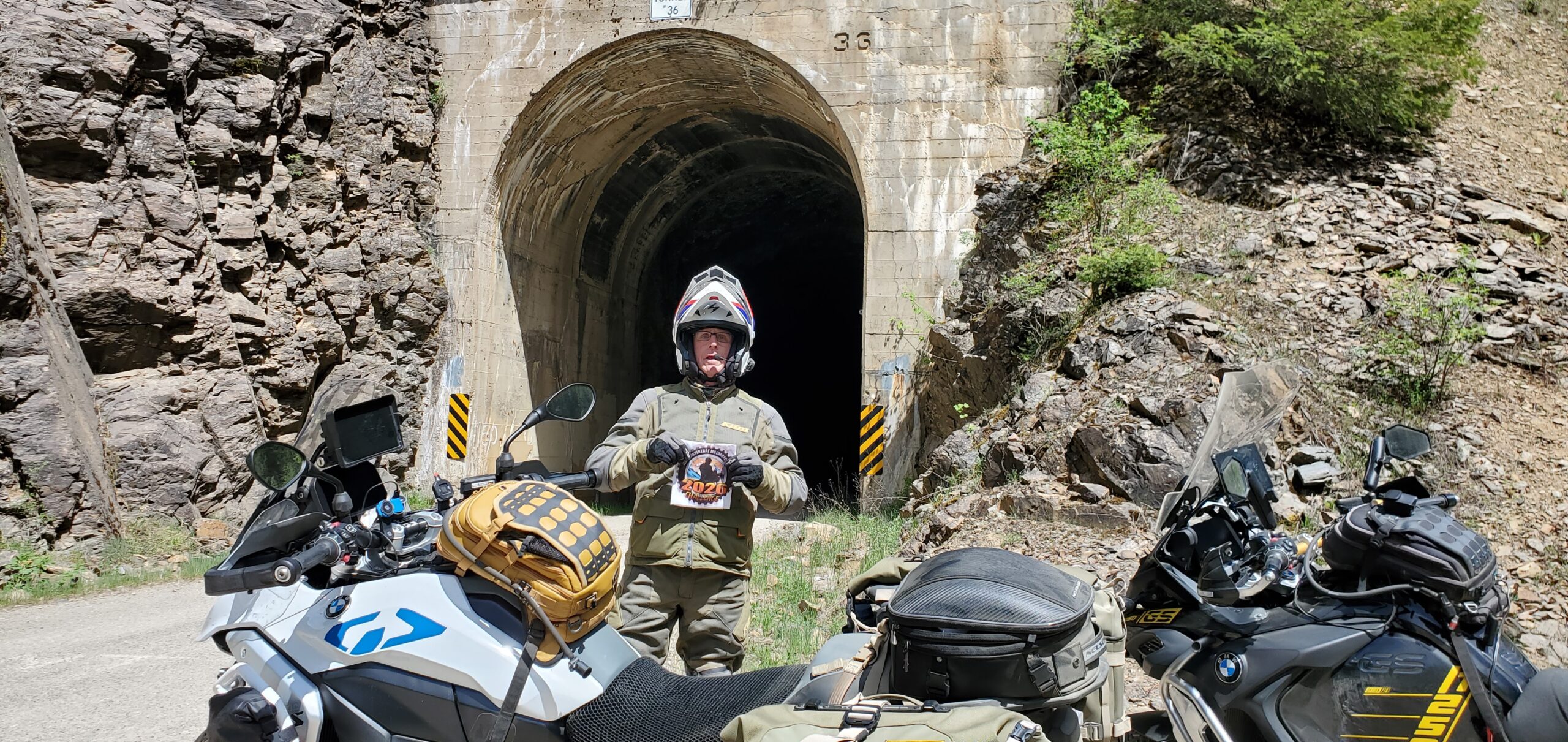

From Wallace to Avery over Moon pass is 30 miles of dusty gravel road. Being recently graded, the road was smooth, but had deep loose gravel in many places. Snow filled the sides of the road at 4700 feet elevation near Moon Pass. You will experience several fun tunnels along the way but the one for the check-in is tunnel number 36.