Description
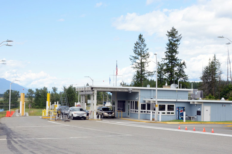
Porthill, Idaho, is a small, unincorporated community in Boundary County located on the U.S.-Canada border, roughly 27 miles northwest of Bonners Ferry. It serves primarily as a busy international gateway, the Porthill/Rykerts Border Crossing,, connecting Idaho State Highway 1 to British Columbia Highway 21. It is known for its quiet, rural nature, significant post office, and as a popular crossing for tourists and commercial traffic.
More Information
Coordinates: 48.998817, -116.498442
Elevation: 1760 ft
Difficulty: 1
What to Expect:
Check In
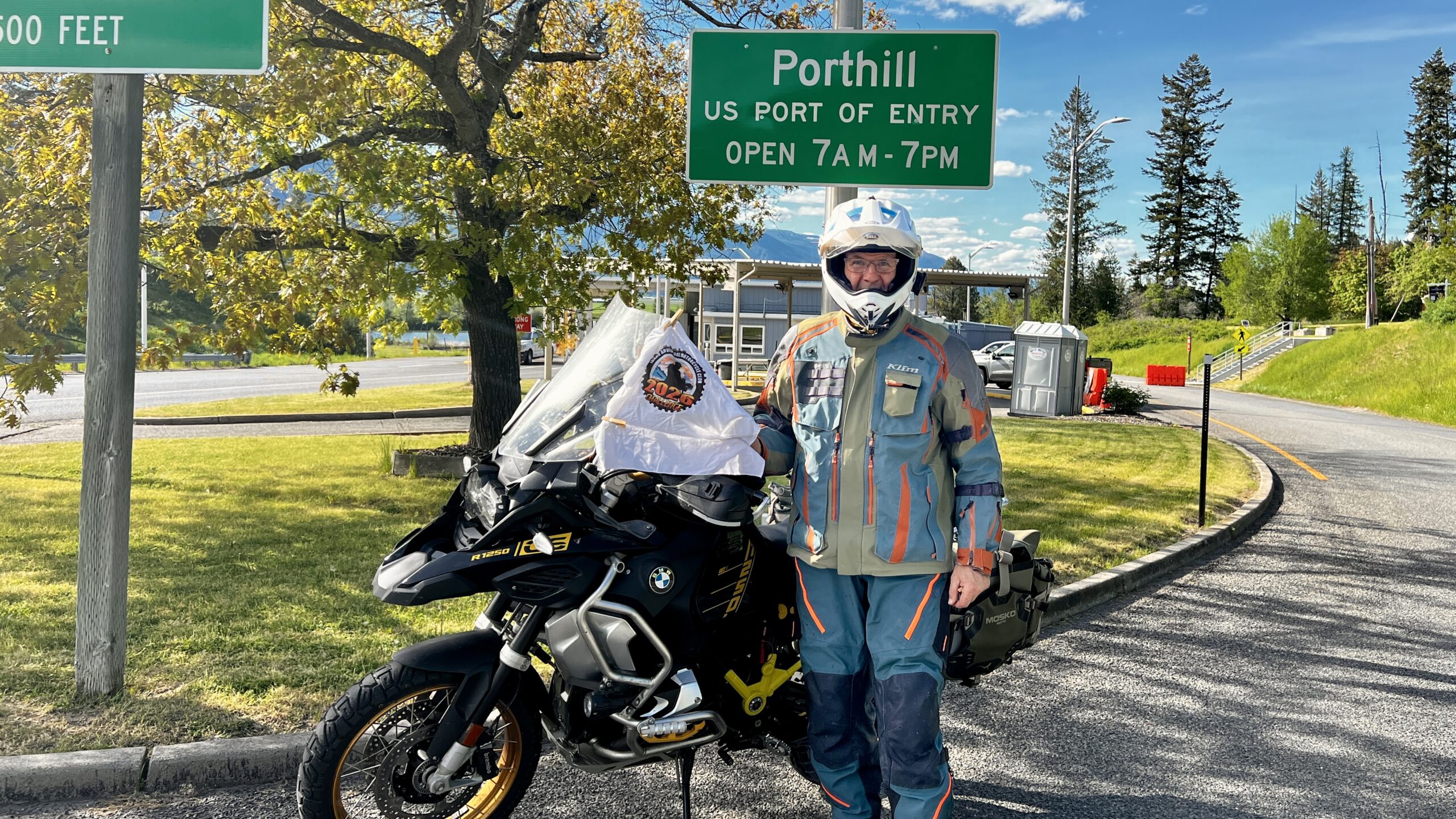
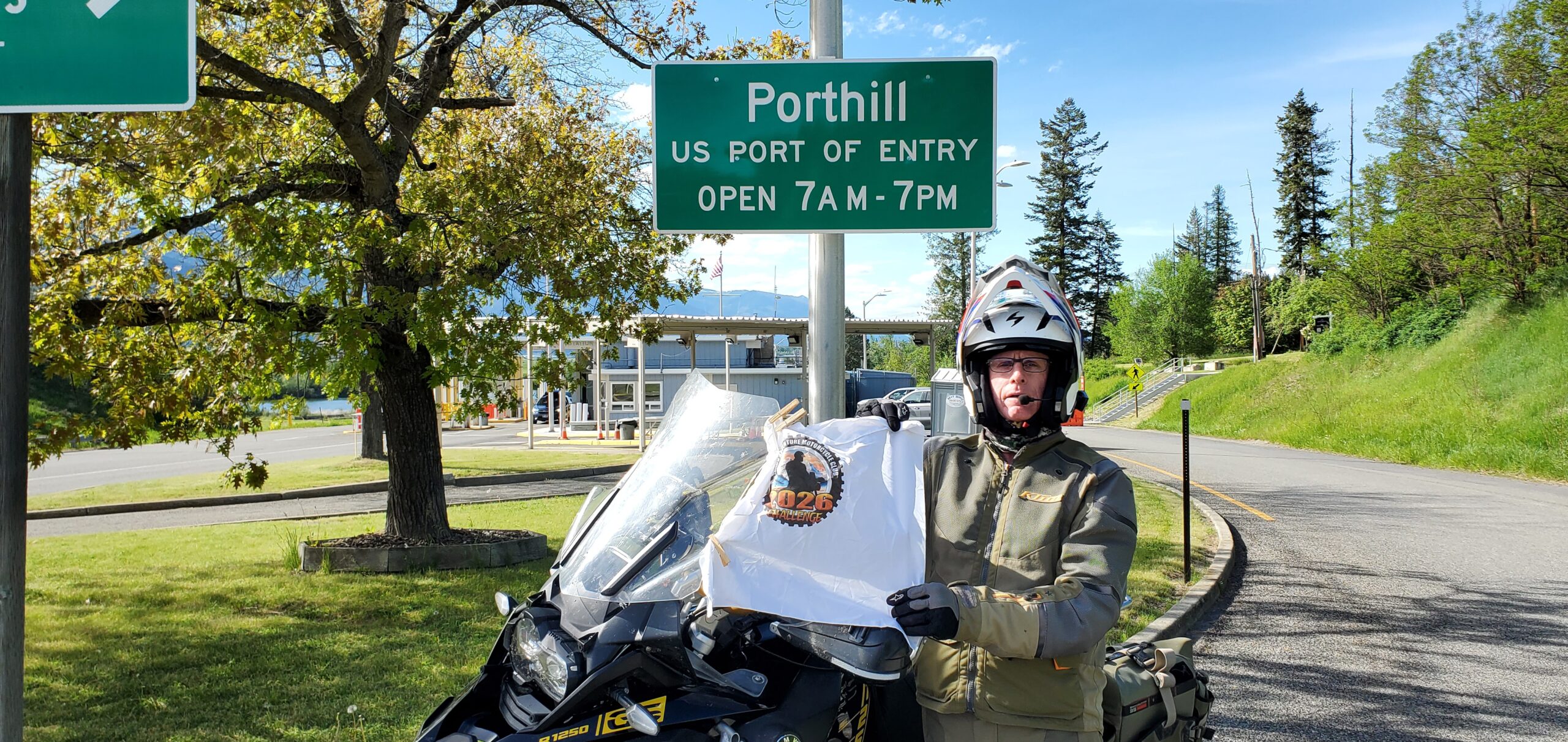
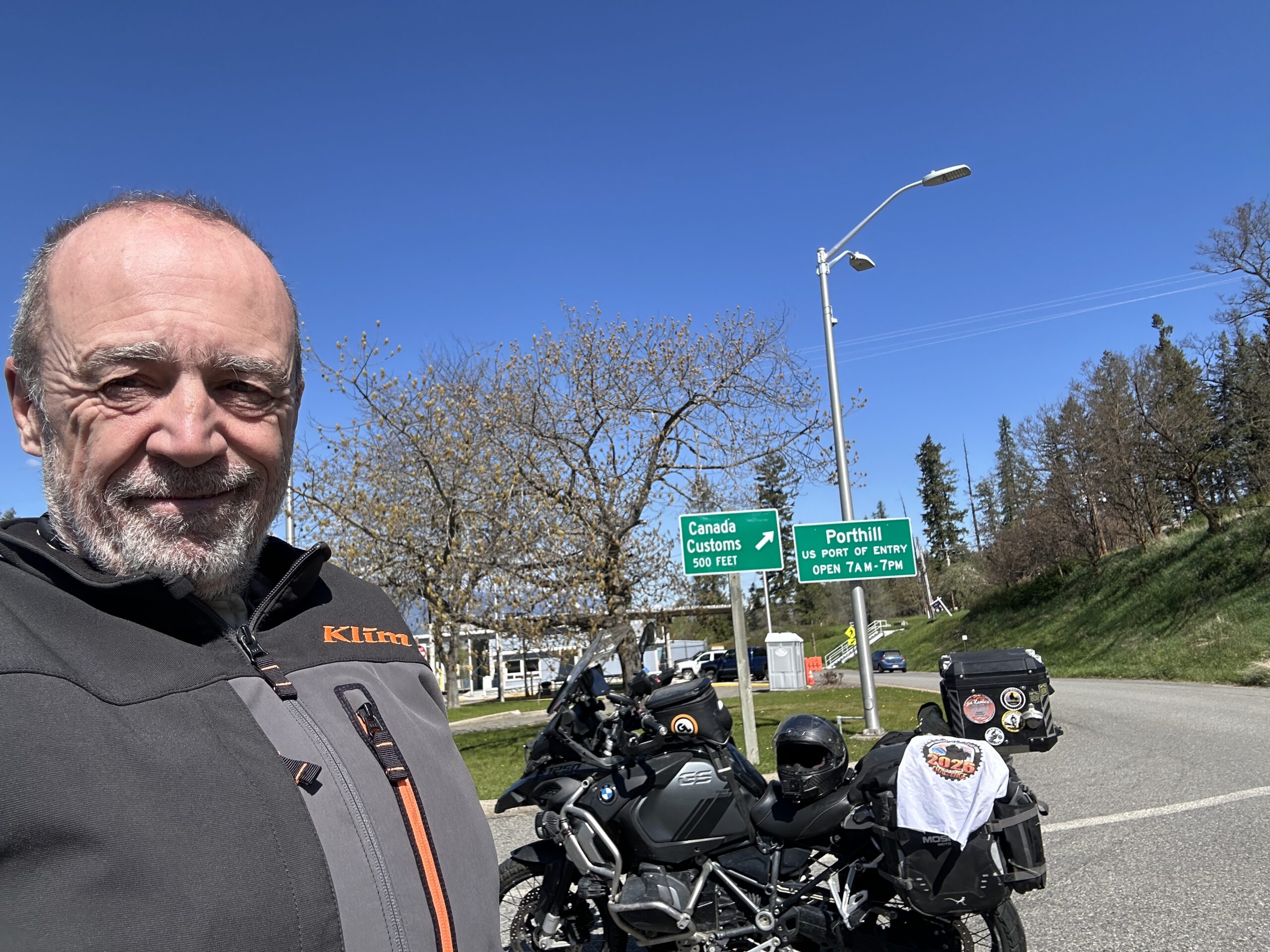
Use the form below to check in. Check-ins must include a photo of you or your bike at the challenge site with the 2026 bandanna. All participants must be registered IAMC Challenge Members. Leave a description of your ride and share road conditions — snow, water, obstacles, and tips for future riders are all appreciated.
Replying to another person's check-in is encouraged, but take care not to accidentally create your own check-in.
The stated difficulty is an estimate. Rating your experience helps future riders stay safe. You alone are responsible for the safety of your ride.
4 Check-Ins

Wow, it is a long way up to Porthill, and the hills to the west were on fire. Those are pictures from the Upper Smith fire nearby taken by my wife on the back seat as we were riding up to Porthill.
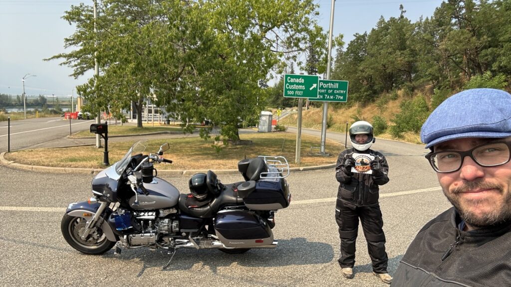
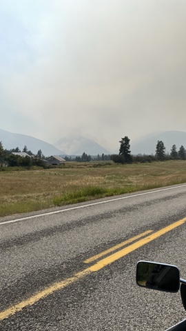
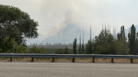

One can follow the Idaho BDR or take the highway to get to Porthill. Either way, it’s a beautiful ride.