Description
Smith Prairie Airport (2U0) is a public-use turf airstrip located two miles southeast of Prairie in Elmore County, Idaho. Owned by the Idaho Transportation Department, this backcountry airport features a single 5,400 x 150 ft runway (06/24) situated at an elevation of 4,958 ft. It is known for its historic, rustic setting suitable for light aircraft.
More Information
Coordinates: 43.498158, -115.546928
Elevation: 4901 ft
Difficulty: 2
What to Expect:
Check In
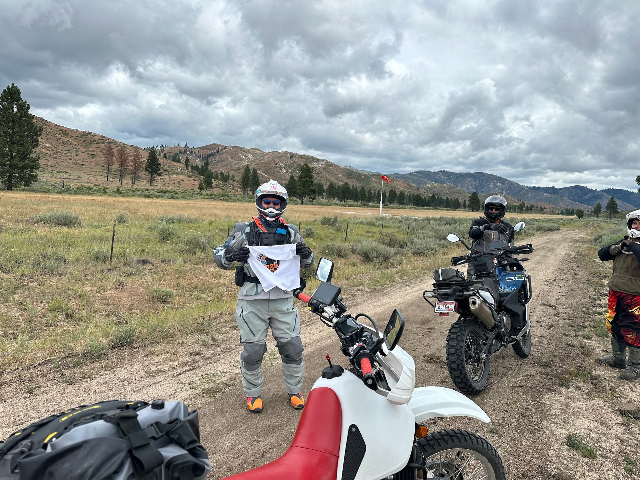
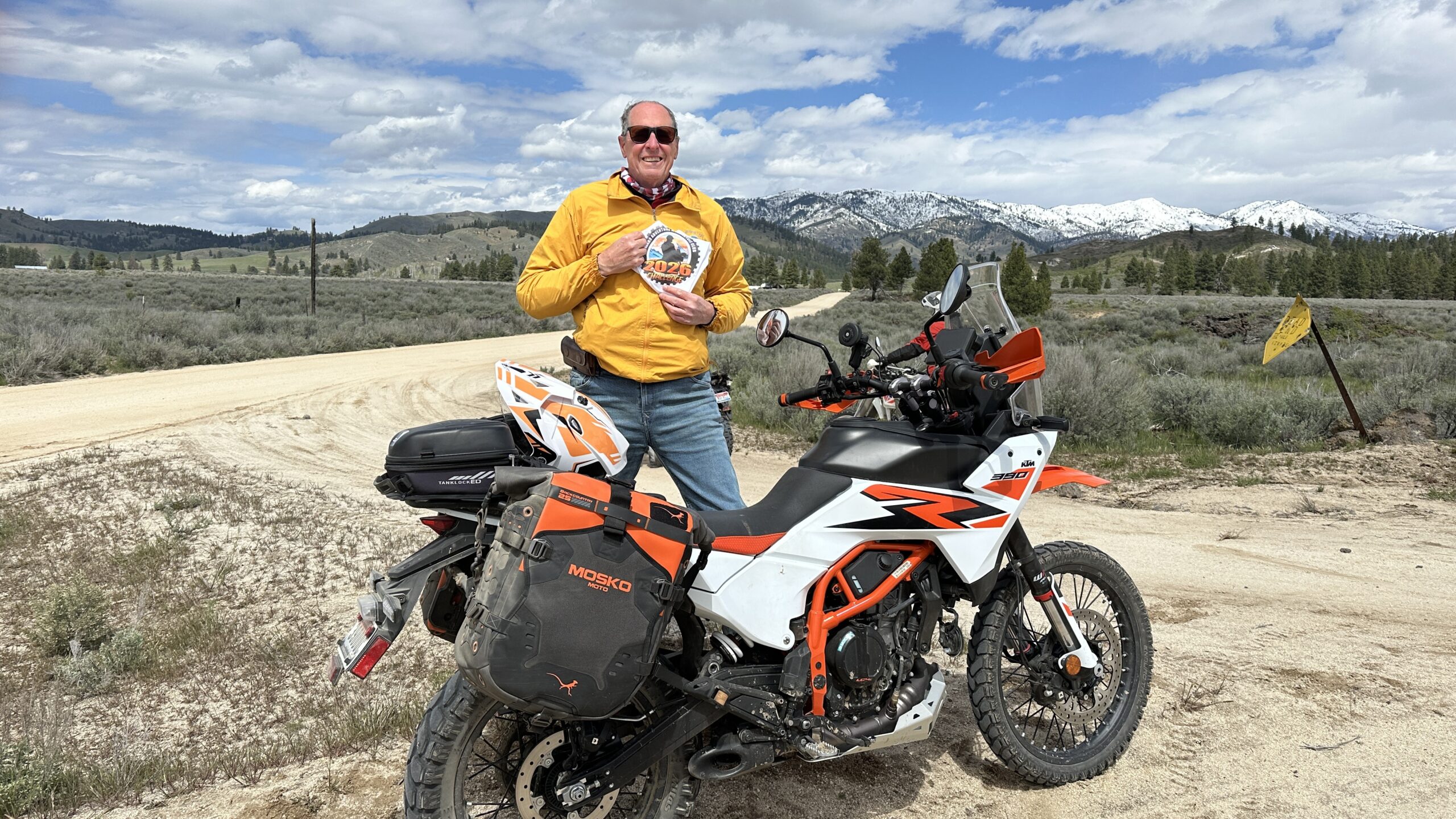
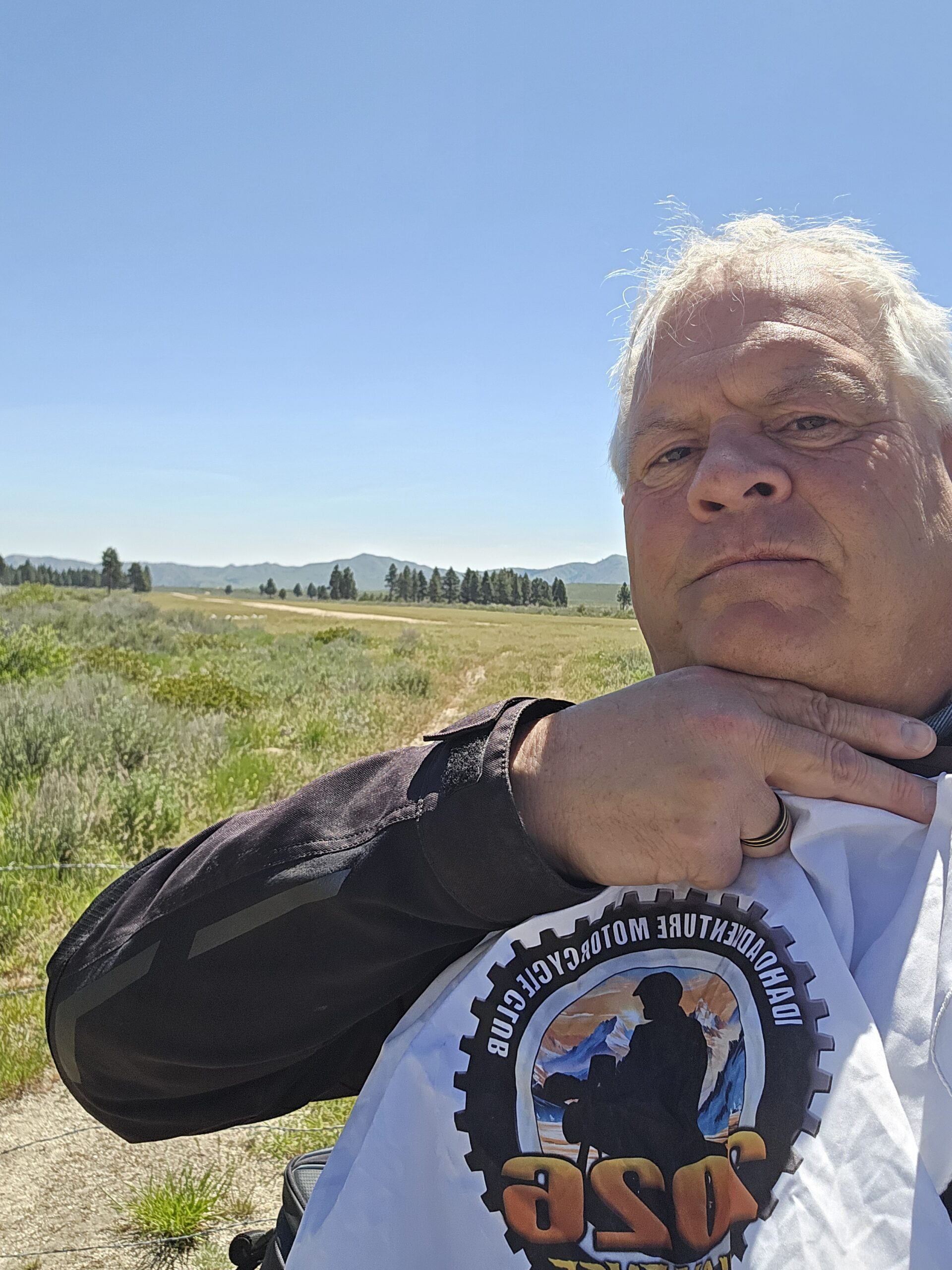
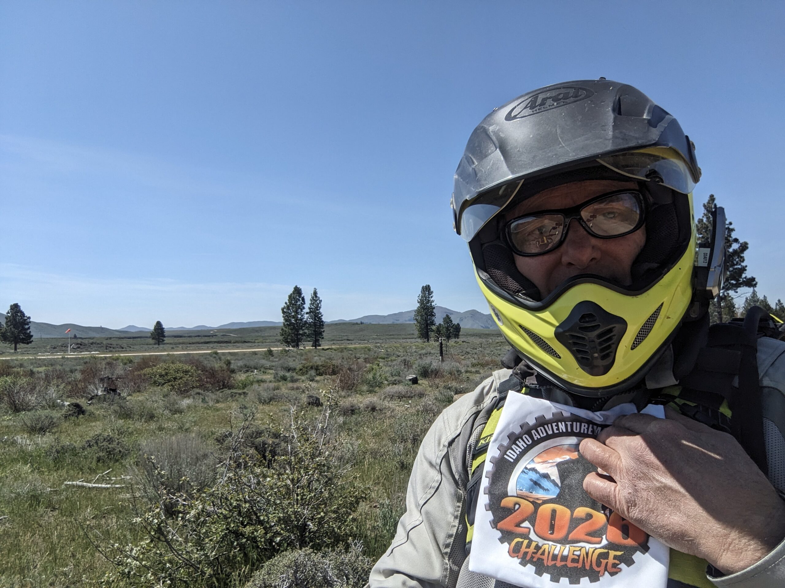
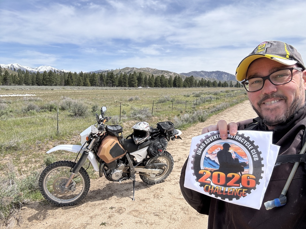
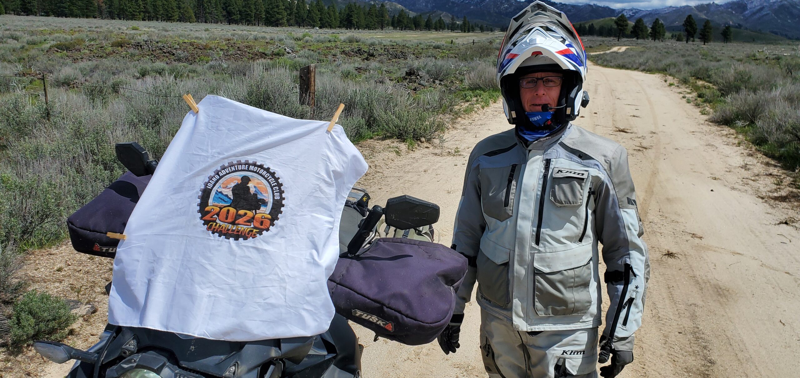
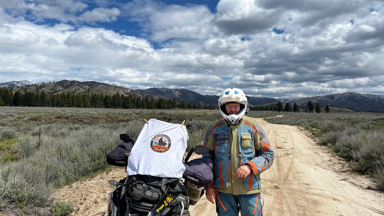
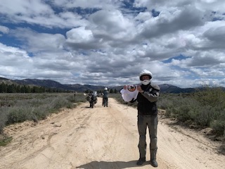
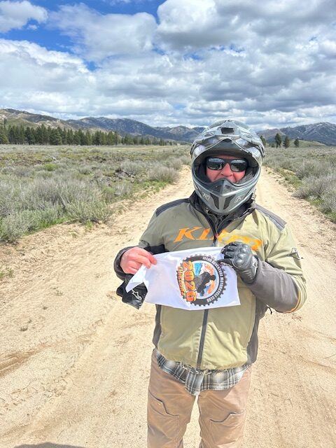
Use the form below to check in. Check-ins must include a photo of you or your bike at the challenge site with the 2026 bandanna. All participants must be registered IAMC Challenge Members. Leave a description of your ride and share road conditions — snow, water, obstacles, and tips for future riders are all appreciated.
Replying to another person's check-in is encouraged, but take care not to accidentally create your own check-in.
The stated difficulty is an estimate. Rating your experience helps future riders stay safe. You alone are responsible for the safety of your ride.
18 Check-Ins
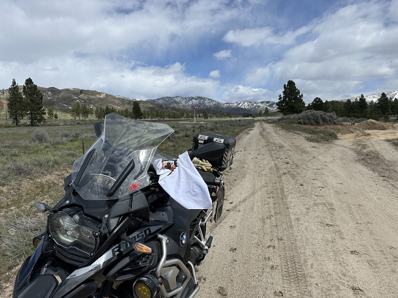
I rode to both sides of the airstrip for no particular reason. No planes but an old ford pick up was parked waiting for its owner to fly in.
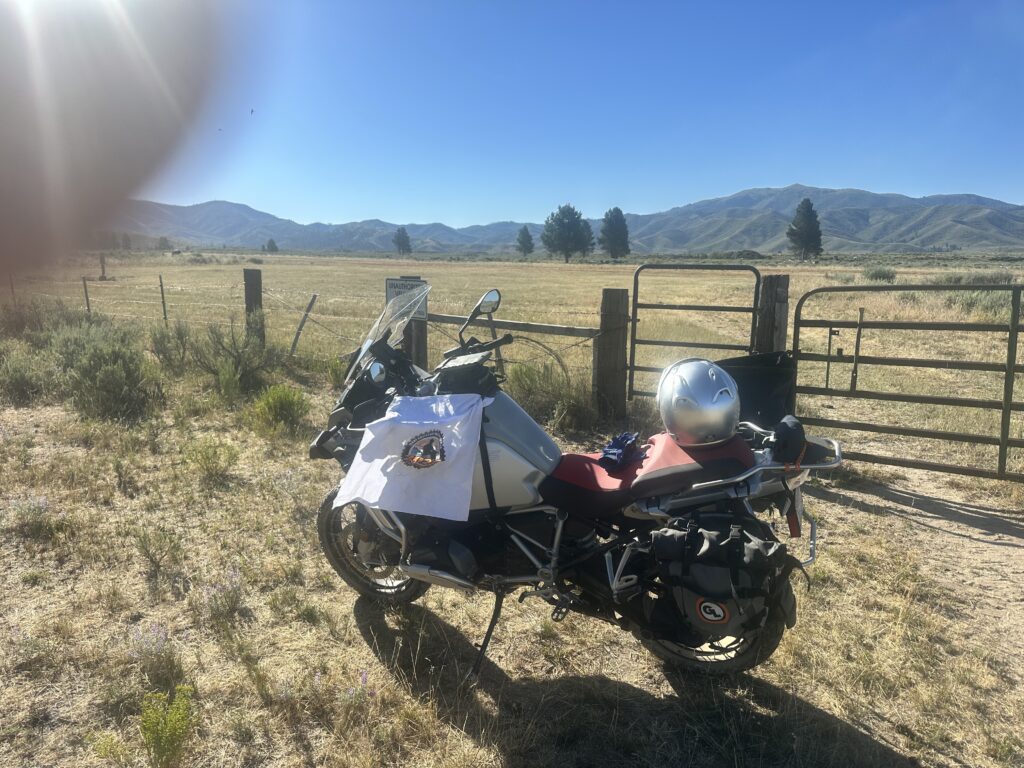


Quick stop on the Poker Run. I saw a number of airplanes here last year on the way to Trinity Lookout.
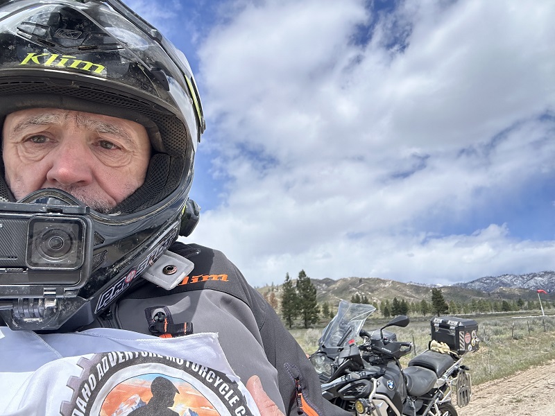
As Dan Huff is my witness, there's an airport in the background back there.
There isn't much to see here, but that doesn't mean it's not worth the trip. Getting out here is always a beautiful ride, and I'm glad we always have challenge sites along this route.

No need to go to the GPS co-ordinates, just check in from the end of the runway