Description
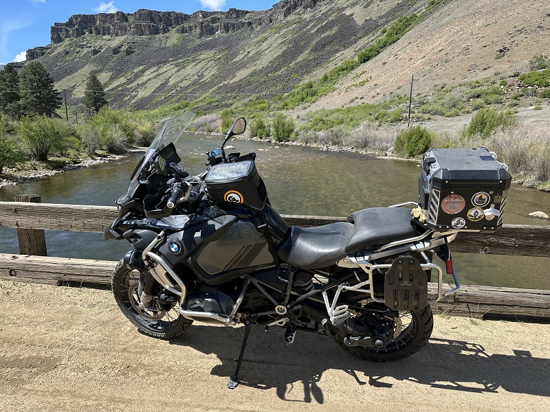
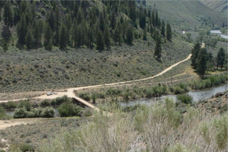
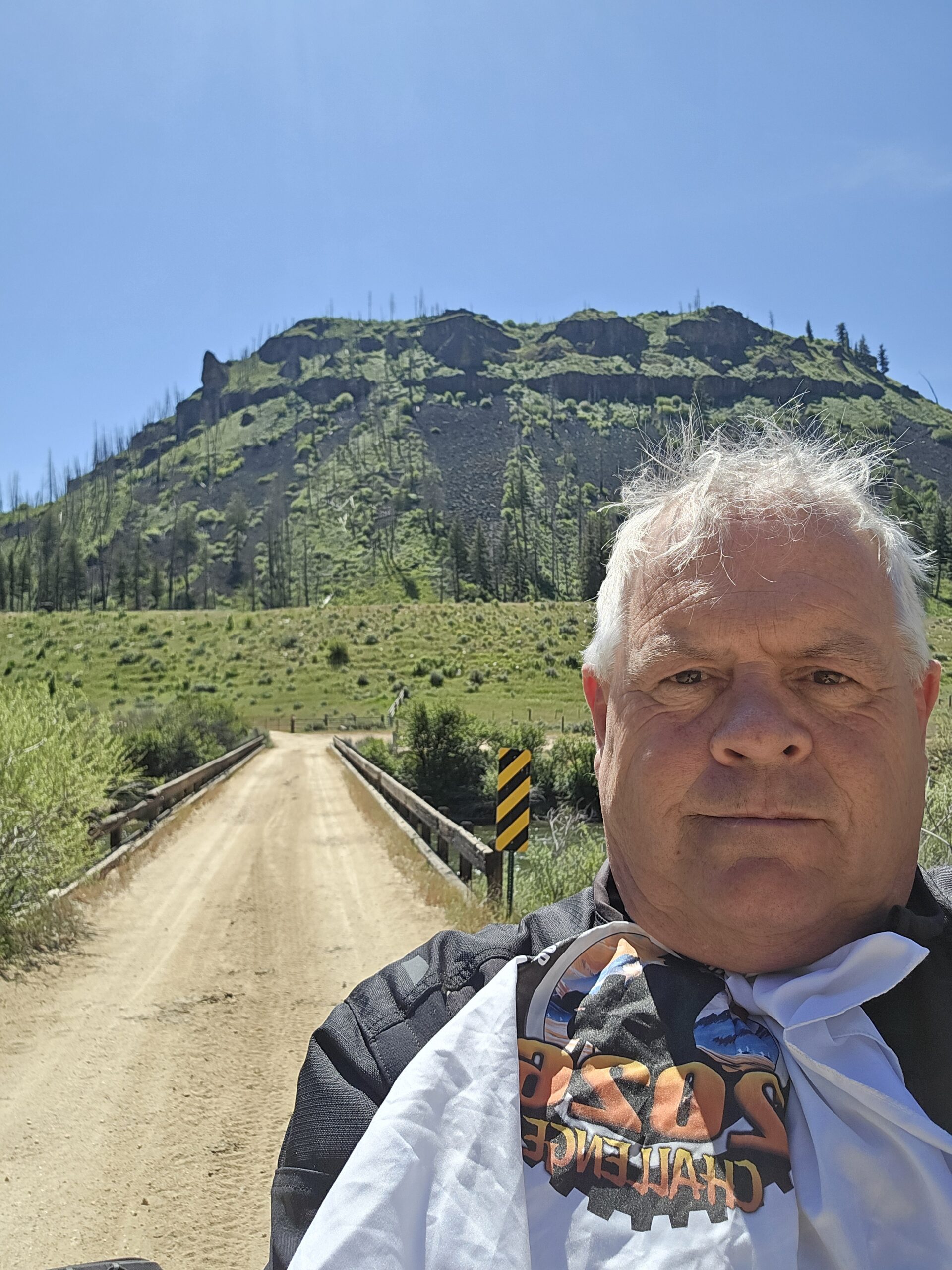
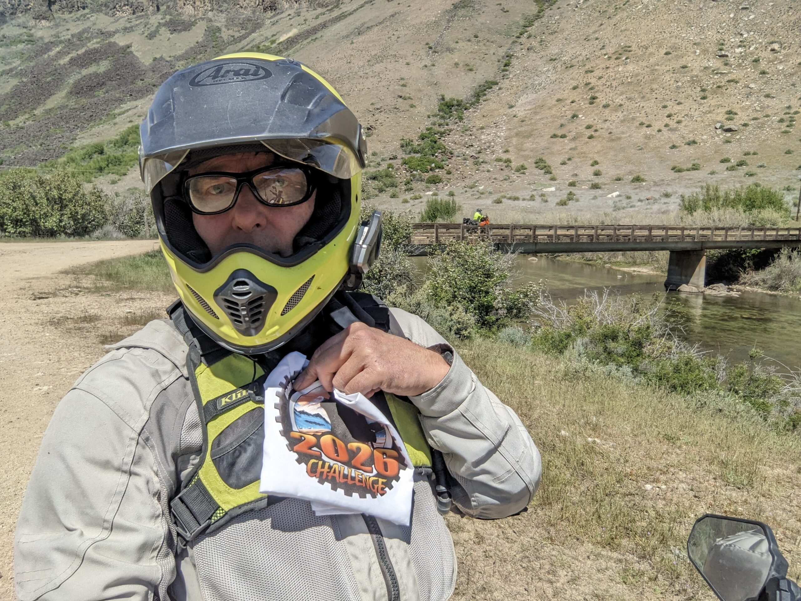
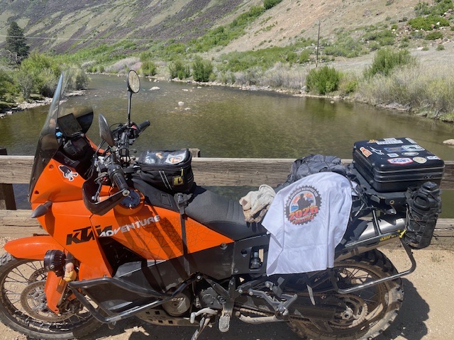
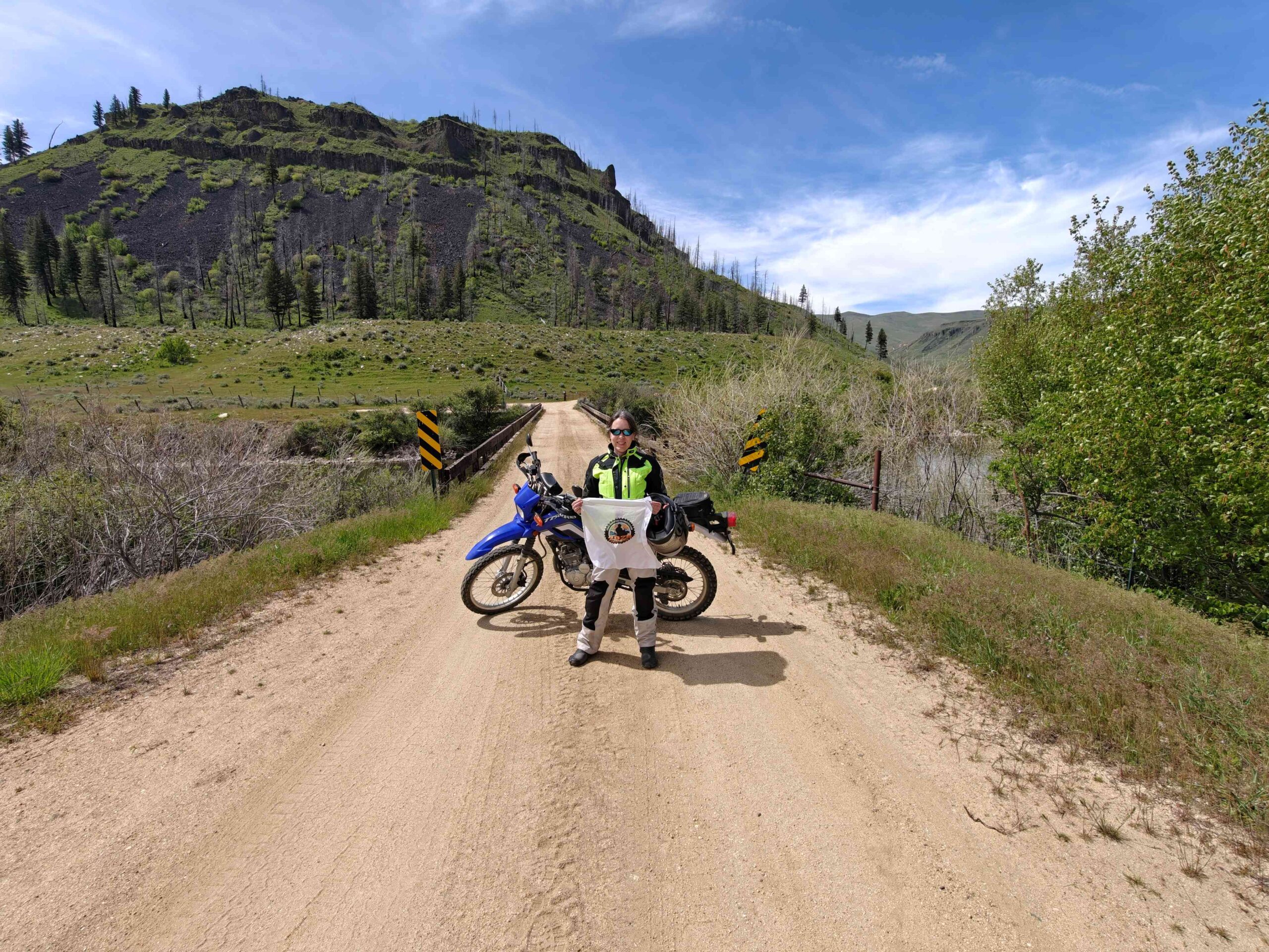
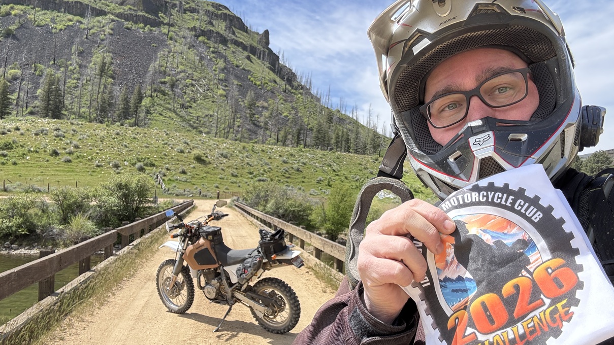
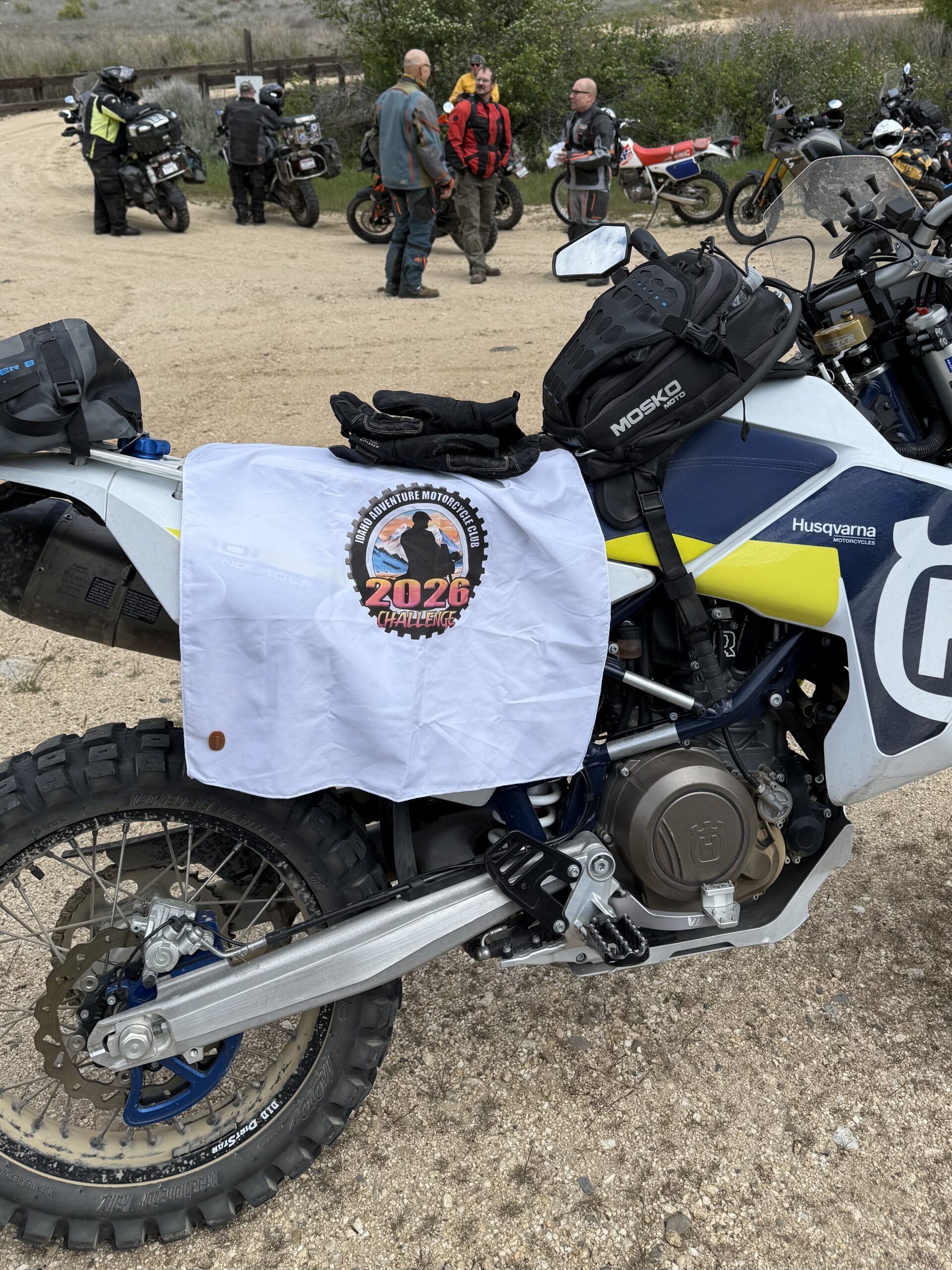
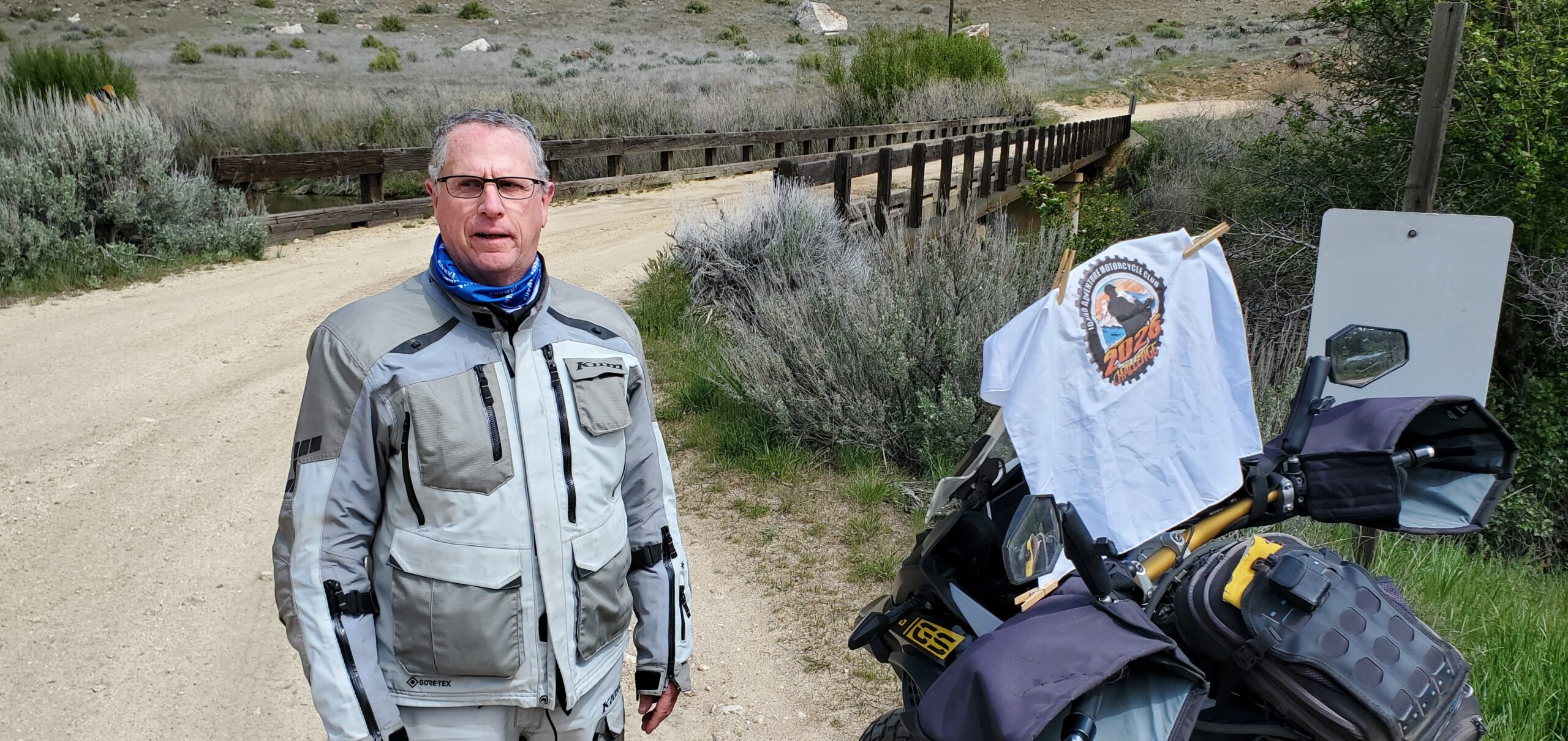
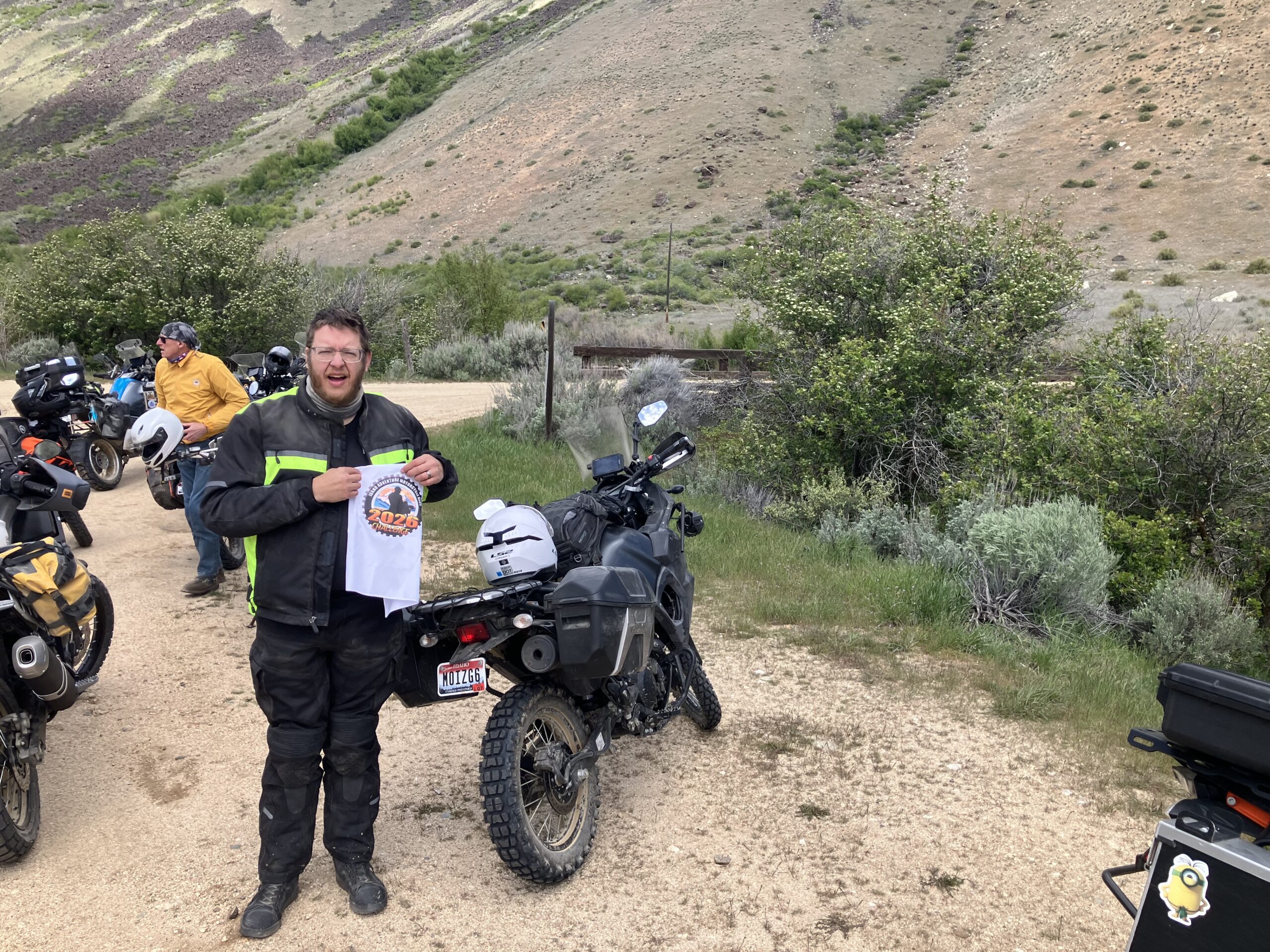
Danskin Bridge is a key access point on the South Fork of the Boise River in Elmore County, Idaho, often used as a boat launch for rafting and fishing. It sits in a remote area offering 19 miles of roadless access downstream to Neal Bridge, popular for scenic floats and trout fishing, with potential for challenging whitewater rapids.
More Information
Coordinates: 43.404965, -115.565809
Elevation: 3661 ft
Difficulty: 2
What to Expect:
Check In
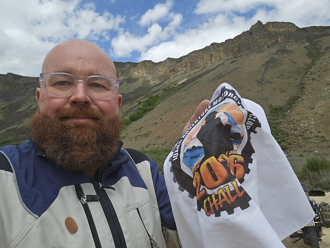
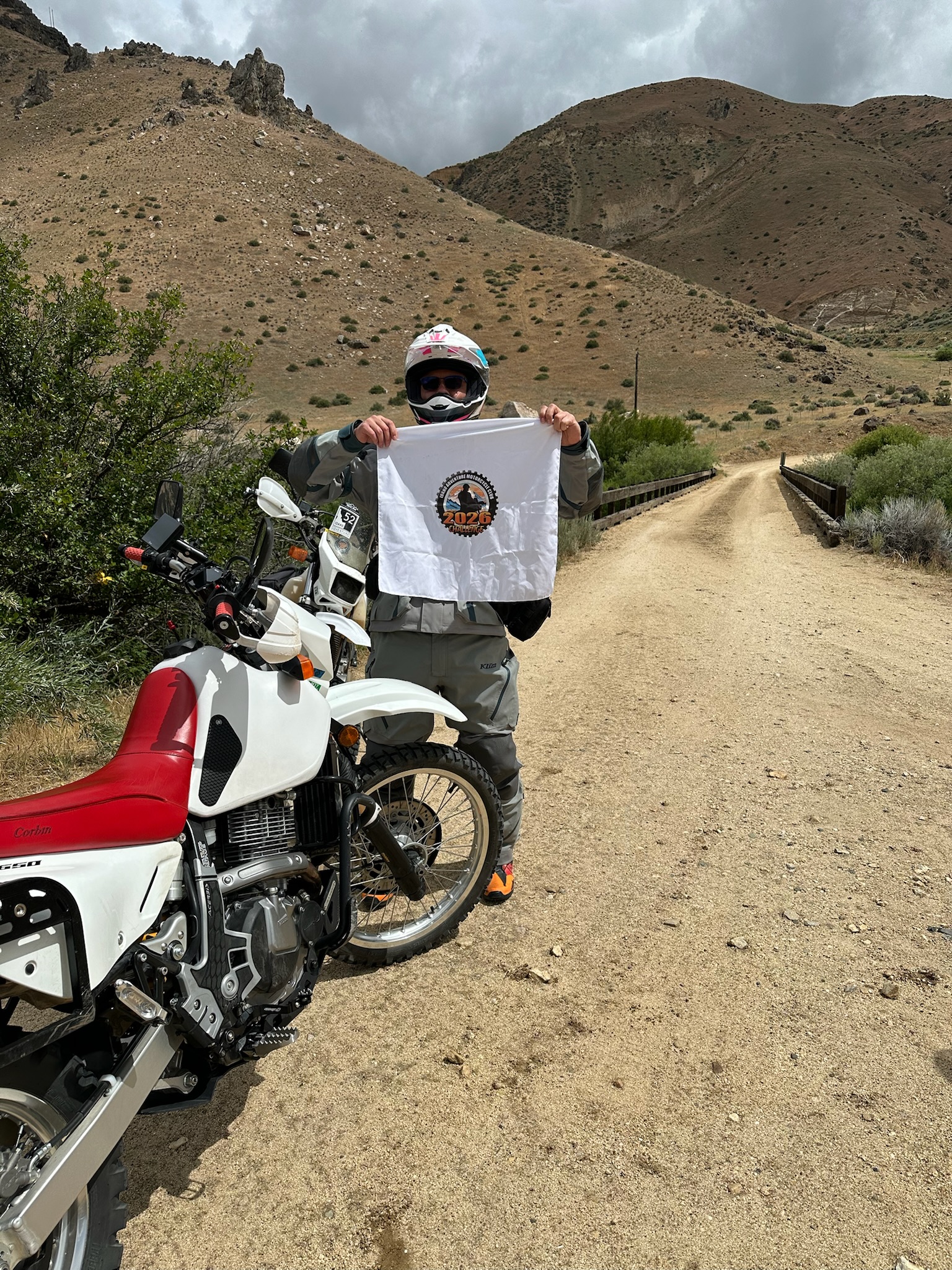
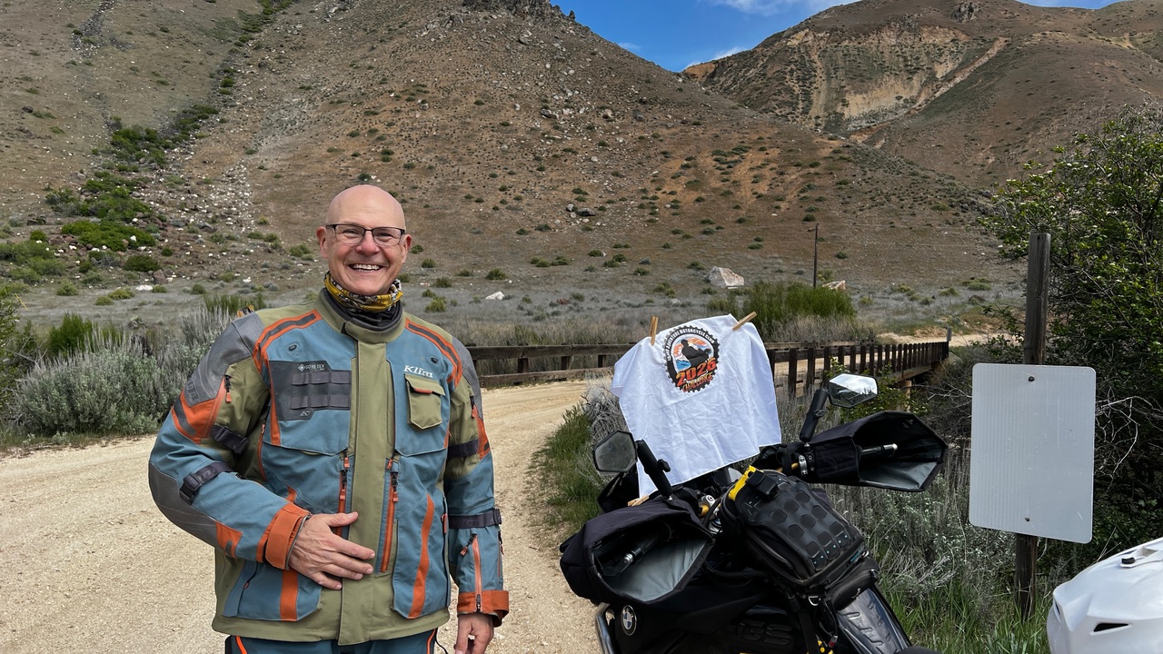
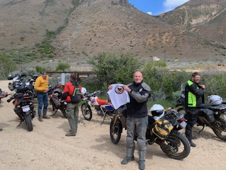
Use the form below to check in. Check-ins must include a photo of you or your bike at the challenge site with the 2026 bandanna. All participants must be registered IAMC Challenge Members. Leave a description of your ride and share road conditions — snow, water, obstacles, and tips for future riders are all appreciated.
Replying to another person's check-in is encouraged, but take care not to accidentally create your own check-in.
The stated difficulty is an estimate. Rating your experience helps future riders stay safe. You alone are responsible for the safety of your ride.
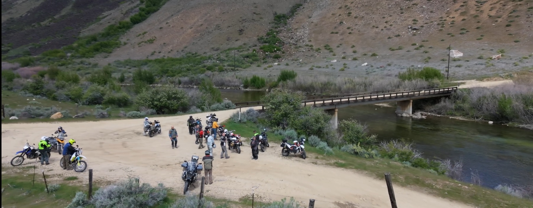
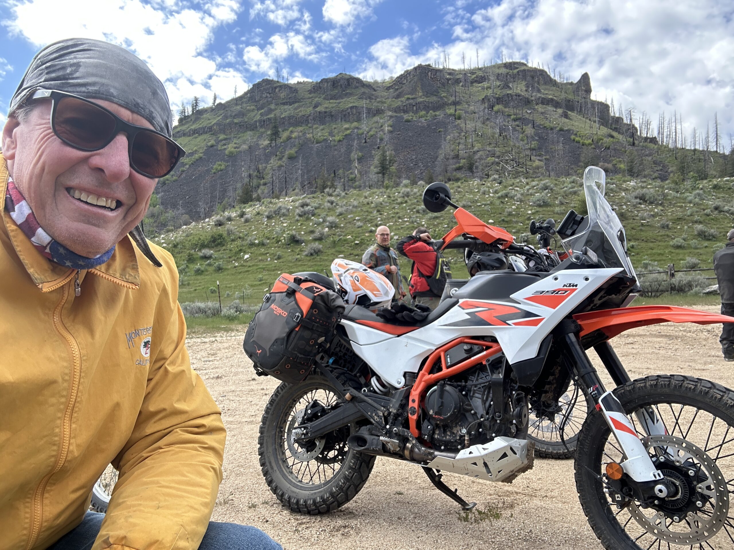
19 Check-Ins
The fly fisherman were hopping. I sure wish the road behind the gate wasn’t private. Gorgeous country.
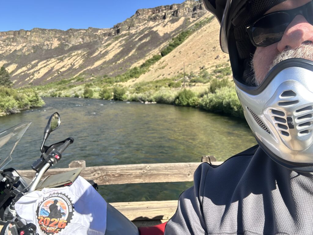
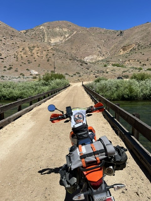
Easy to miss if you aren't looking for it (fork off of the main road), but also relatively easy to get there and to turn around afterwards and visit the nearby overlook. Nice little wooden bridge with a light sandy topping. Not sure how much there is to really see past the bridge; looks like mostly a road or some 2 track to private property.

Someone said this wasn't a challenge site, thus the missing bandana, but the Chief can verify that I was there this year 😉
From the Kelton Rd marker, we hit Highway 20, missed the Prairie Rd. turn off, and took the next turn-off to Anderson Dam, which eventually meets up with Prairie Rd.
I wasn't able to go on the Poker Run last weekend, so I'm grabbing them all up today, including this bridge.

It's really fun going to this spot, and then seeing where you were at the next challenge site.