Ride Planning
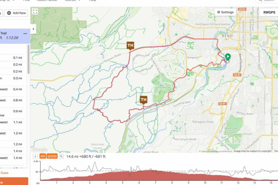
I do a lot of my ride navigation by GPS, so when I start planning, I use a mapping program that is compatible with my GPS. I start by placing the major locations that I want to visit as waypoints… Read More »Ride Planning
I do a lot of my ride navigation by GPS, so when I start planning, I use a mapping program that is compatible with my GPS. I start by placing the major locations that I want to visit as waypoints… Read More »Ride Planning
IAMC Club Members, The club held a lunch/business meeting on Saturday March 9. There was a very good turn out with a lot of familiar faces and quite a few new ones. It was a nice group with lots of… Read More »Club Update From Ron, 3/19/2024