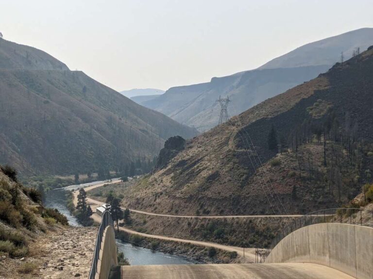

07 – Anderson Ranch Dam
Anderson Ranch Dam is an earth and rockfill dam located on the South Fork of the Boise River in Elmore County, Idaho. Standing at 456 feet tall and 1,350 feet long, it was the tallest dam of its type in the world upon its completion in 1950. The dam creates Anderson Ranch Reservoir, which has a total capacity of 503,500 acre-feet and a surface area of 4,815 acres. Its primary purpose is to provide irrigation water for agriculture, with hydroelectric power generation as a secondary function. The powerplant, commissioned in 1951 and upgraded in 1986, has an installed capacity of 40 megawatts.Wikipedia+3Wikipedia+3Wikipedia+3
Construction began in 1941 but faced delays due to material, fuel, and labor shortages during World War II, including a nine-month halt starting in December 1942. In 1943, Japanese American internees from the Minidoka War Relocation Center were employed to address labor shortages. Currently, the U.S. Bureau of Reclamation and the Idaho Water Resource Board are collaborating on a project to raise the dam by six feet, which will increase storage capacity by approximately 29,000 acre-feet; the design phase is scheduled for completion in summer 2024.
More Information
https://en.wikipedia.org/wiki/Anderson_Ranch_Dam
Coordinates: 43.357478, -115.448645
Elevation: 4239 ft
Difficulty: 2
What to Expect: No info
[reblex id=’779′]
Check In
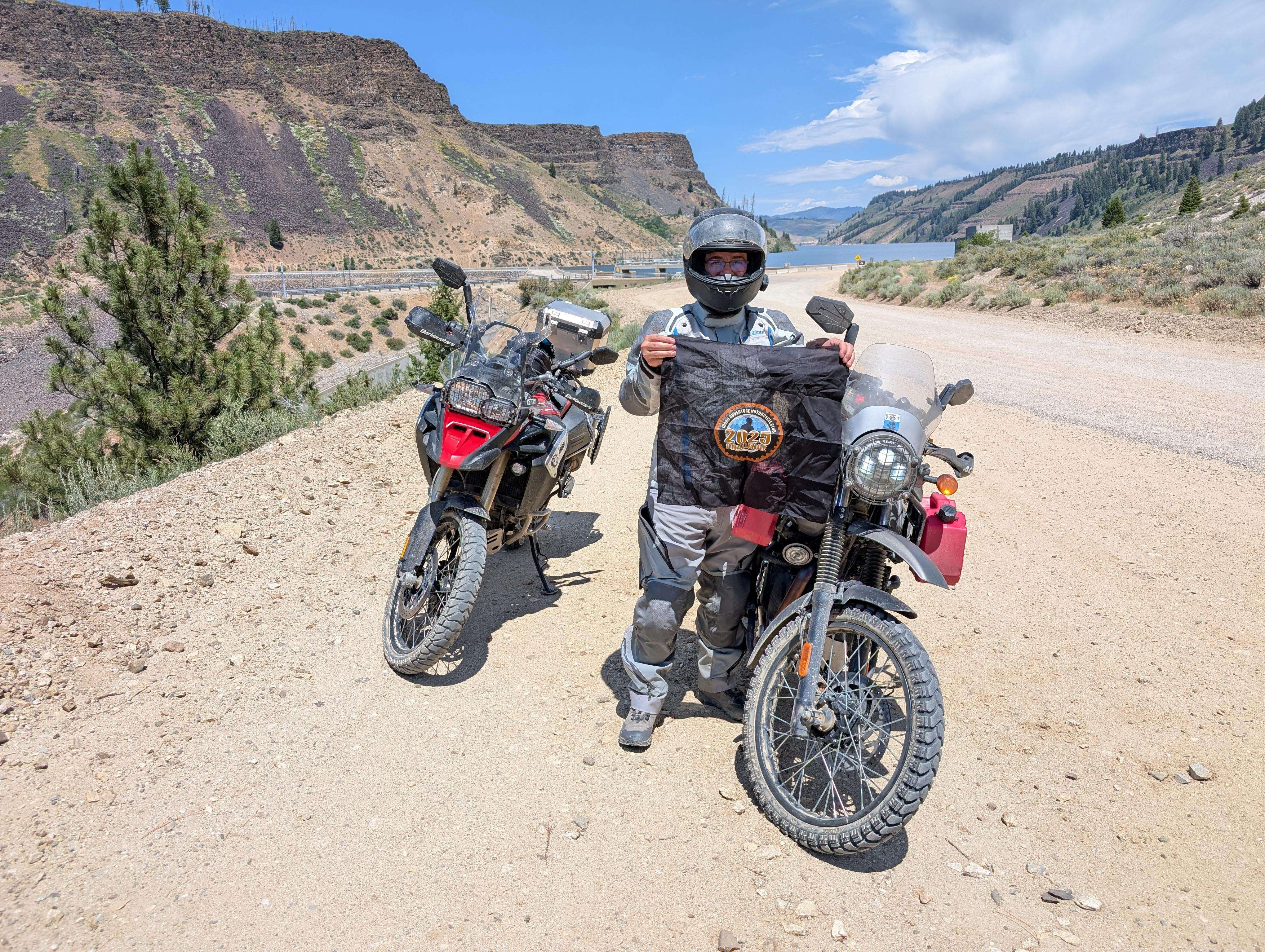
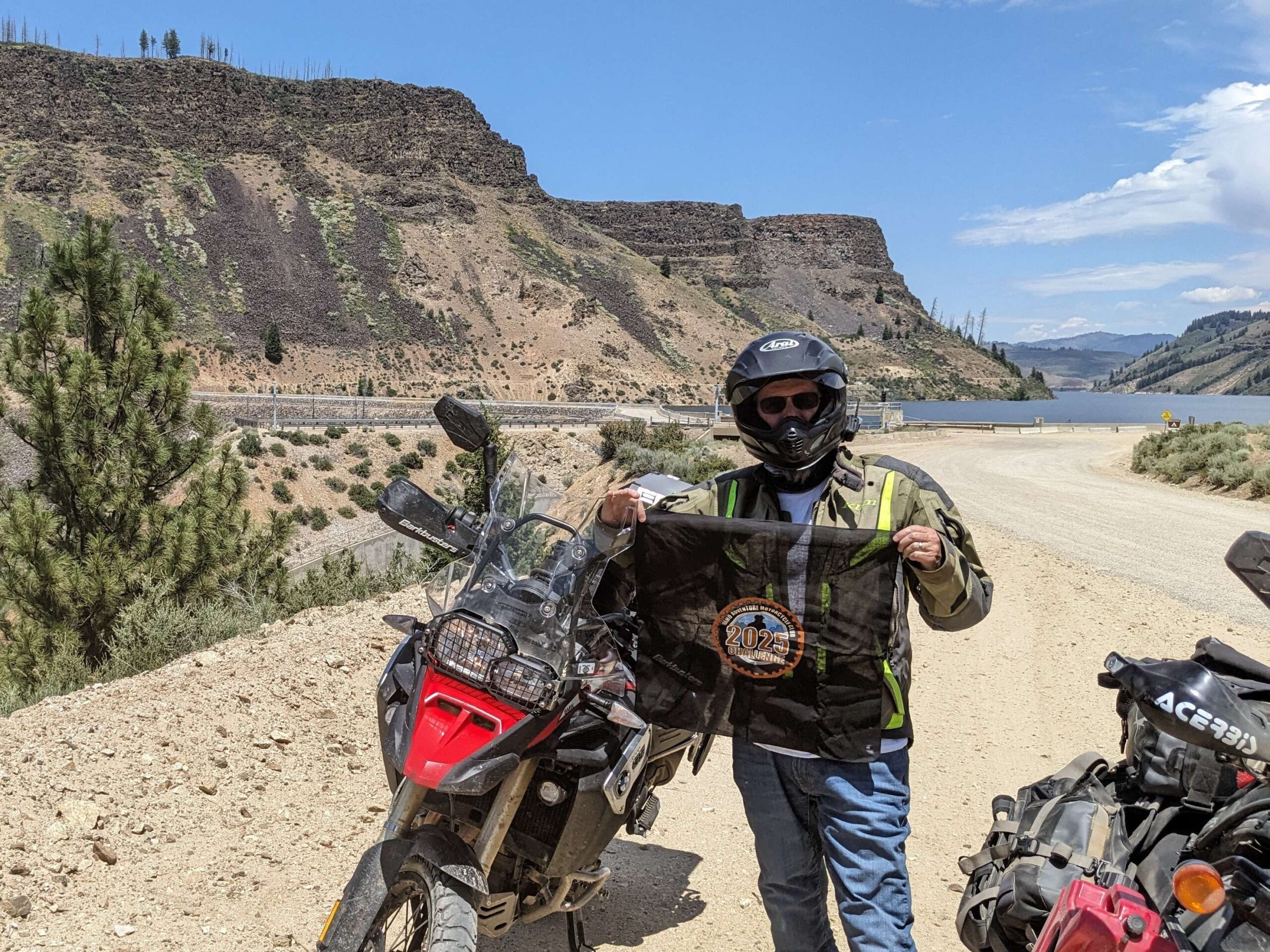
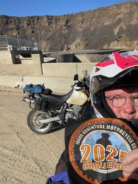
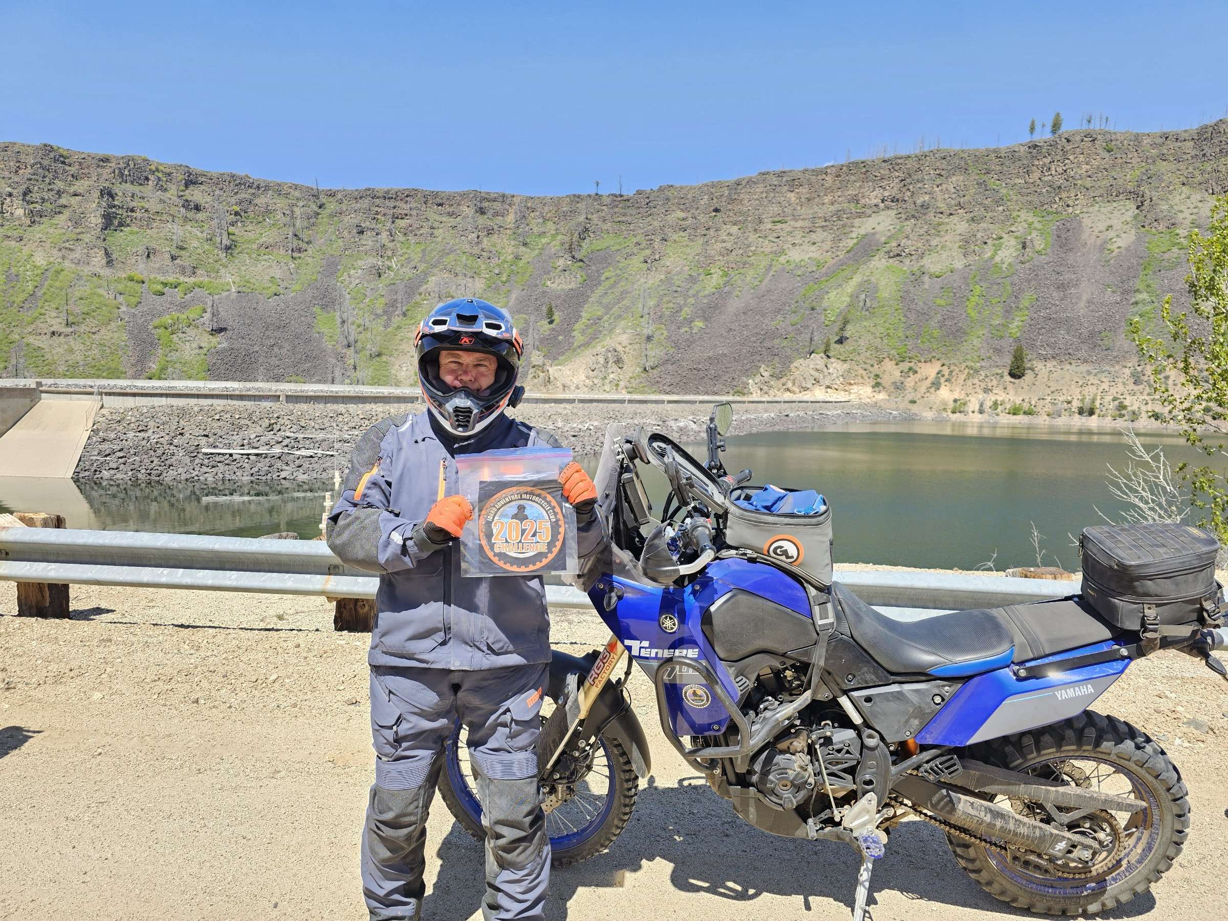
Use the form below to check in. Check-ins must include a photo of you or your bike at the challenge site with the 2025 bandanna. All participants must be registered IAMC Challenge Members. Leave a description of your ride and share road conditions — snow, water, obstacles, and tips for future riders are all appreciated.
Replying to another person's check-in is encouraged, but take care not to accidentally create your own check-in.
The stated difficulty is an estimate. Rating your experience helps future riders stay safe. You alone are responsible for the safety of your ride.
17 Check-Ins
My Uncle used to work here for 20 years. Crazy that he would drive here in the winter.
Great fishing in the south fork below the dam. Always a fun ride out this way.
Came from Long Tom got a bit lost trying to find a back way in ended up just coming back to the main road. (Forgot my bandana, willing to provide a DNA sample upon request.)
Went through Prairie to site 2 of 3 day. Little bit of snow higher up. Nov.1


Last stop of the day. Some good fishing spots to check out below the damn.

Last stop on the Prairie Poker Run! Absolutely beautiful spot. Would've loved to stick around and check out the place, if I wasn't in dire need of a Y-Stop burger, haha.


Great route. Good food at the Y Stop in Prairie. The store said they sell gas but they were out.


Pretty cool. Never been here before. Looks like the gravel road is brand new or freshly touched up. Hardly a bump.


My Uncle used to work here for 20 years. Crazy that he would drive here in the winter.
Great fishing in the south fork below the dam. Always a fun ride out this way.
Came from Long Tom got a bit lost trying to find a back way in ended up just coming back to the main road. (Forgot my bandana, willing to provide a DNA sample upon request.)
Went through Prairie to site 2 of 3 day. Little bit of snow higher up. Nov.1
Start of my trinity run, but a nice spot to stop.
May 3rd. Sam’s Poker Run. Nice day, not a lot of dust
Not much to say…..it’s a big dam.
Last stop of the day. Some good fishing spots to check out below the damn.
Last stop on the Prairie Poker Run! Absolutely beautiful spot. Would’ve loved to stick around and check out the place, if I wasn’t in dire need of a Y-Stop burger, haha.
Great ride yesterday. 8 sites three were repeats
Great route. Good food at the Y Stop in Prairie. The store said they sell gas but they were out.
good times, great day for a ride
Nice sunny day for the group ride.
I have always had the urge to ride down the spillway.
A nice gravel/dirt road off of Hwy 20, beautiful dam view awaits you.
Pretty cool. Never been here before. Looks like the gravel road is brand new or freshly touched up. Hardly a bump.
3rd site for the day. Lots of fishermen out this morning.
Comments are closed.