

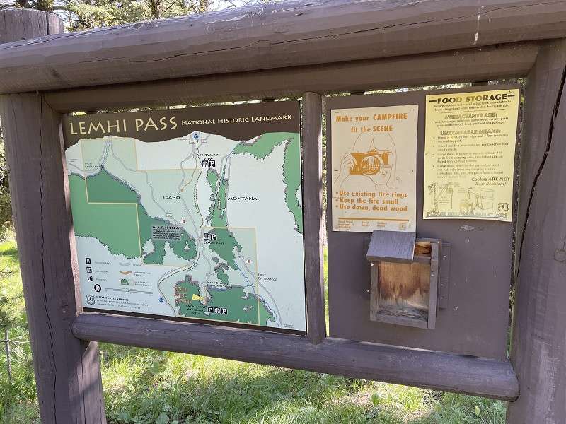
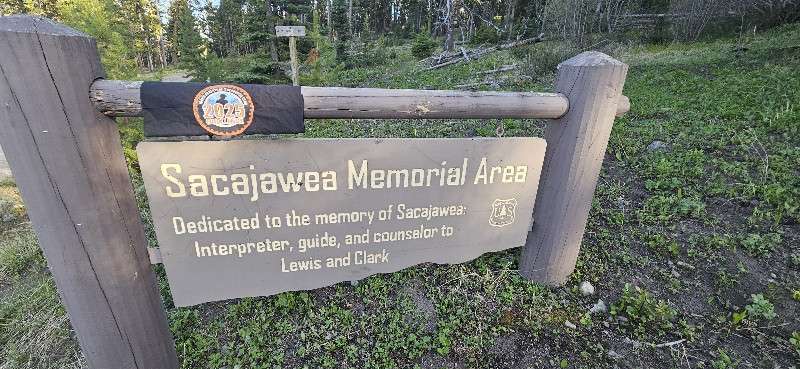
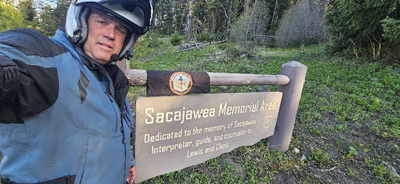
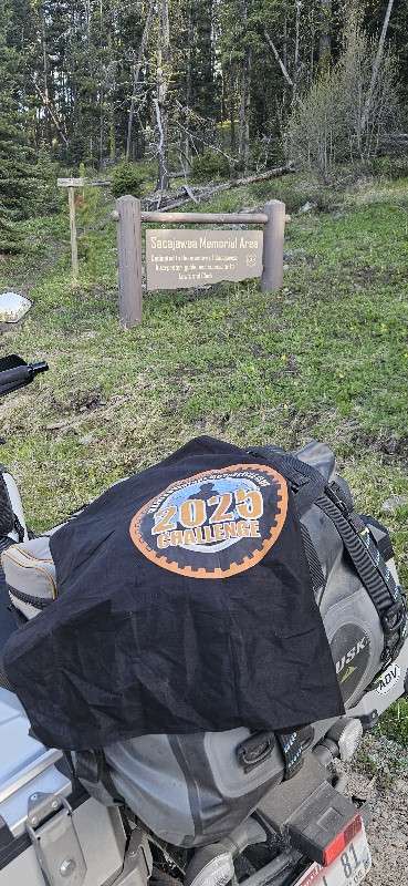
49 – Sacajawea Memorial Picnic Area
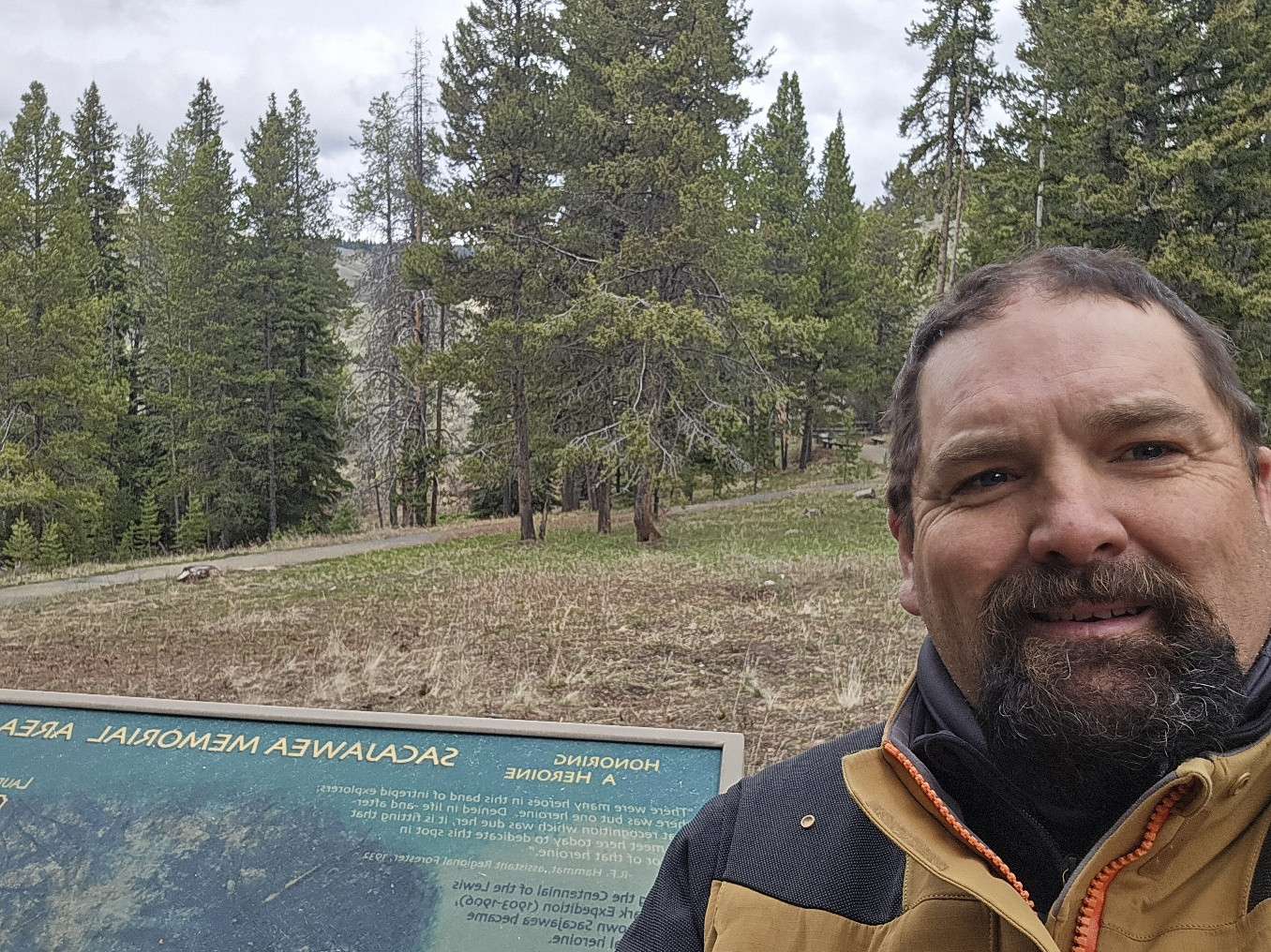
The Sacajawea Memorial Picnic Area is a secluded day-use site located within the Beaverhead-Deerlodge National Forest in Montana, situated at an elevation of 7,400 feet. This tranquil spot offers picnic tables and vaulted toilets for visitors’ convenience. A walking trail with interpretive signage about the Lewis and Clark Expedition provides an educational experience amidst the area’s natural beauty. In spring and fall, the site is adorned with abundant native flowers. Please note that there is no garbage service or cell phone coverage, and the area cannot accommodate RVs or trailers.
The picnic area is typically open from June 16 to September 15. To reach the site from Dillon, travel 19 miles south on I-15, take Highway 324 west for 12 miles to Grant, continue on Highway 324 for another 10 miles, then turn west on Forest Road 3909 for 12 miles.
More Information
https://www.fs.usda.gov/recarea/bdnf/recarea/?recid=5667
Coordinates: 44.969883, -113.443265
Elevation: 7285 ft
Difficulty: 2
What to Expect: No info
[reblex id=’779′]
Check In
Use the form below to check in. Check-ins must include a photo of you or your bike at the challenge site with the 2025 bandanna. All participants must be registered IAMC Challenge Members. Leave a description of your ride and share road conditions — snow, water, obstacles, and tips for future riders are all appreciated.
Replying to another person's check-in is encouraged, but take care not to accidentally create your own check-in.
The stated difficulty is an estimate. Rating your experience helps future riders stay safe. You alone are responsible for the safety of your ride.
11 Check-Ins
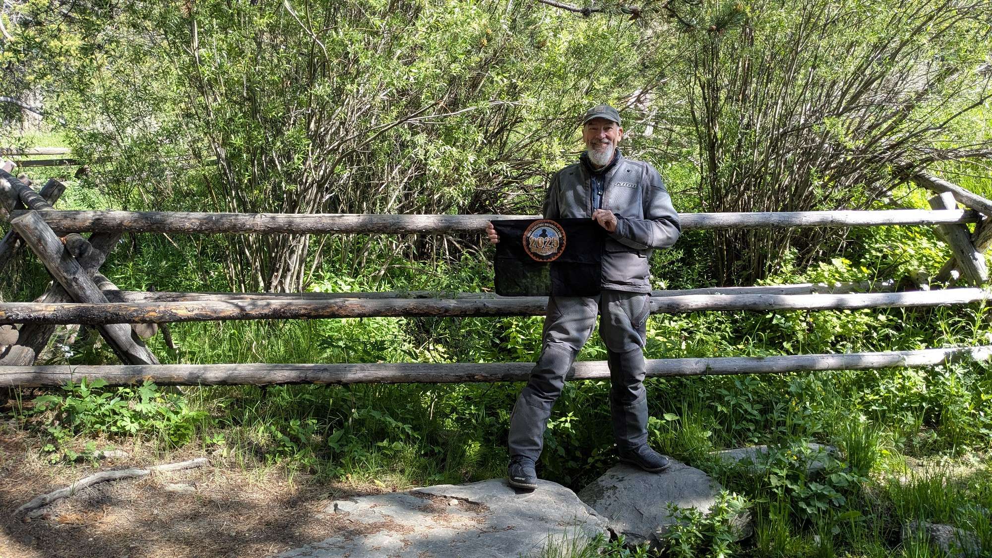
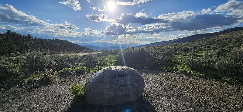
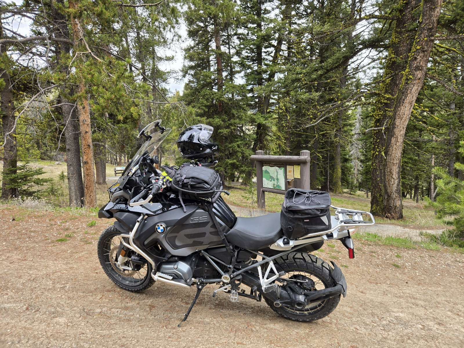
The road from Shoshone Ridge Interpretive Site over Lemhi Pass to Tendoy was beautiful and fun. This was a very nice picnic stop.
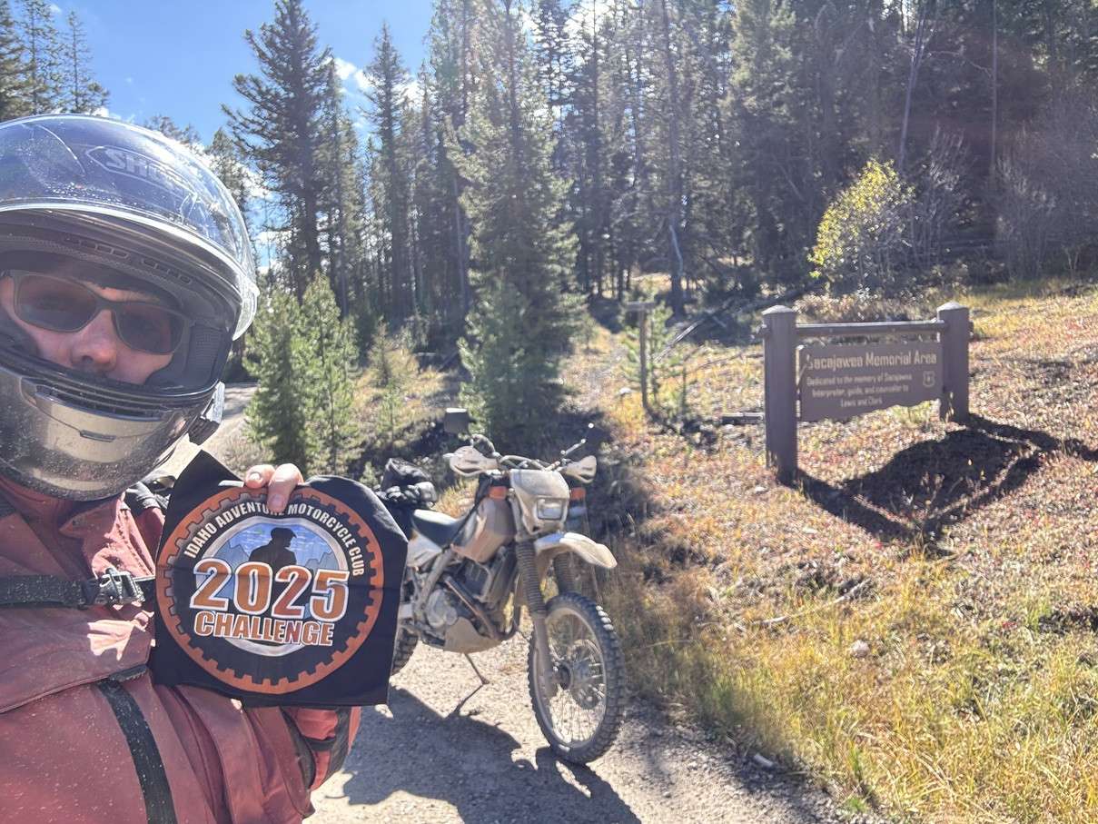
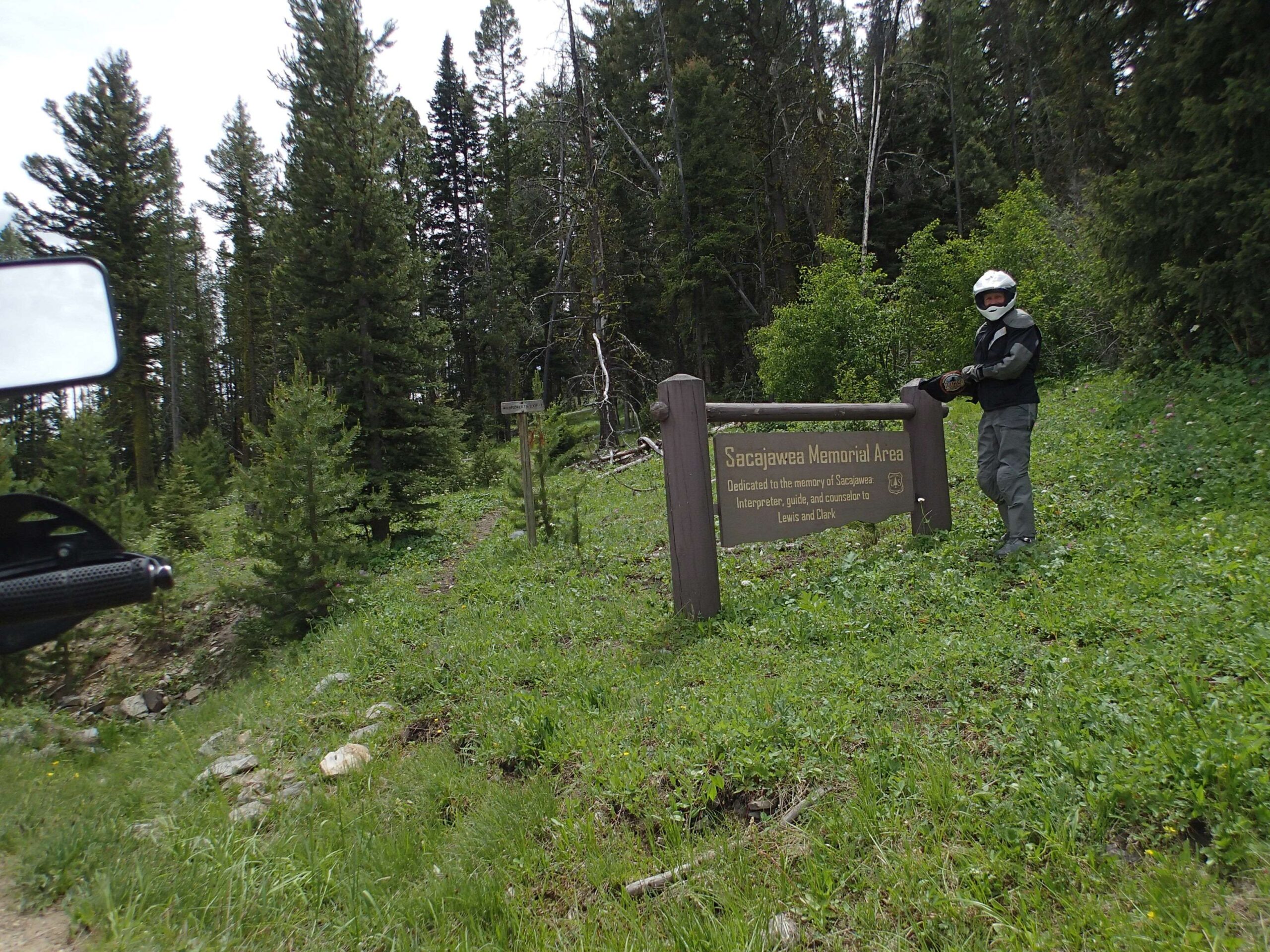
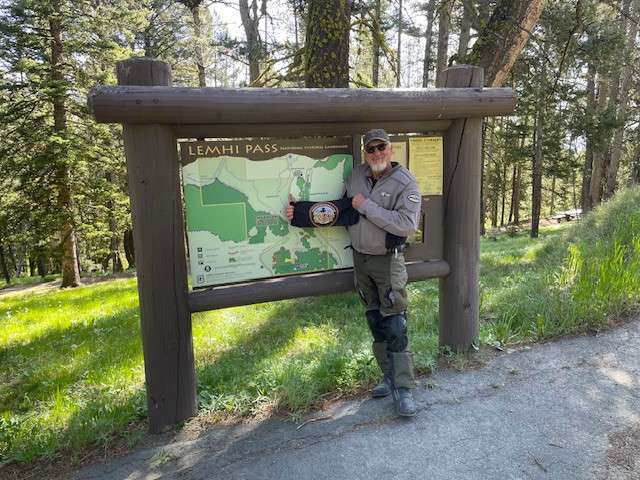
Lewis and Clark crossed the Continental Divide at Lemhi Pass right near this picnic area. Very nice spot for a picnic. The road getting there was a bit greasy in spots because of the heavy rains the evening before my visit. I had the grip heaters and the electric vest running as it was 38 degrees up there. The road got better and the temps improved as I traveled toward Salmon.
Several of us sent some "water" downstream toward the Gulf of America! The road in was smooth!
What a great route. Idaho native and new to me. We all contributed to the Missouri watershed.
I got this site on Alec’s 3 day 1300 mile ride day 3. Another got to see places.
If you've never done Lehmi, you are missing out, especially this time of year. While you are there, take a short walk down to the head of the Missouri River.
Did this in conjunction with the Rever pass climber challenge. Lehmi is in the challenge.

Came in from the Salmon side after hitting #42. Pics are the same. Easy ride. Watch as the road crosses some private property towards the bottom. Speed drop to 15. Bunch of junk all over. 2 big dogs chased me from the house. I goosed it and lost them. Figuring my stategy for tomorrow. Super pretty area. Camped right at the top just above the memorial. Have good cell service. Lots of good camping in area including at the site. Road in good shape.


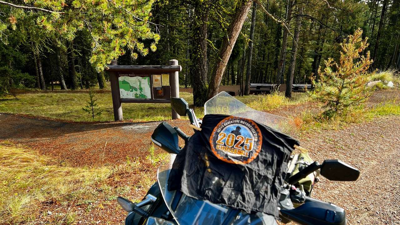
Road from the East side Hwy 324 is easy going graded dirt. Then topped Lemhi pass and dropped into Tendoy and Leadore where it rained on me all the way home
Ranger Station said peak was still full of snow, but I tried anyway. Got to the summit, but could go no further. Camped at Agents Creek Campground. One of my Top 5 of all time. BEAUTIFUL does not even begin to describe it. Not that I need a place all to myself, but I had it.
Peak was 14 miles from highway, snow the last 1/2 mile. Give it a week or two, north faces will be clear.

The road from Shoshone Ridge Interpretive Site over Lemhi Pass to Tendoy was beautiful and fun. This was a very nice picnic stop.
Lewis and Clark crossed the Continental Divide at Lemhi Pass right near this picnic area. Very nice spot for a picnic. The road getting there was a bit greasy in spots because of the heavy rains the evening before my visit. I had the grip heaters and the electric vest running as it was 38 degrees up there. The road got better and the temps improved as I traveled toward Salmon.
Nice stop while driving along the Lewis & Clark trail.
Several of us sent some “water” downstream toward the Gulf of America! The road in was smooth!
What a great route. Idaho native and new to me. We all contributed to the Missouri watershed.
I got this site on Alec’s 3 day 1300 mile ride day 3. Another got to see places.
If you’ve never done Lehmi, you are missing out, especially this time of year. While you are there, take a short walk down to the head of the Missouri River.
Did this in conjunction with the Rever pass climber challenge. Lehmi is in the challenge.
Came in from the Salmon side after hitting #42. Pics are the same. Easy ride. Watch as the road crosses some private property towards the bottom. Speed drop to 15. Bunch of junk all over. 2 big dogs chased me from the house. I goosed it and lost them. Figuring my stategy for tomorrow. Super pretty area. Camped right at the top just above the memorial. Have good cell service. Lots of good camping in area including at the site. Road in good shape.
Road from the East side Hwy 324 is easy going graded dirt. Then topped Lemhi pass and dropped into Tendoy and Leadore where it rained on me all the way home
Ranger Station said peak was still full of snow, but I tried anyway. Got to the summit, but could go no further. Camped at Agents Creek Campground. One of my Top 5 of all time. BEAUTIFUL does not even begin to describe it. Not that I need a place all to myself, but I had it.
Peak was 14 miles from highway, snow the last 1/2 mile. Give it a week or two, north faces will be clear.
Comments are closed.