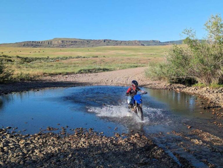

50 – Water Crossing
Just as the name suggests, this checkpoint is any water crossing. How deep do you need to go? How wet do you need to get? That’s up to you! The idea is to push your limits and have fun. Bonus points if you tip over.
More Information
No Additional Info
Coordinates: ????
Elevation: ???? ft
Difficulty: 1-5
What to Expect: No info
[reblex id=’779′]
Check In
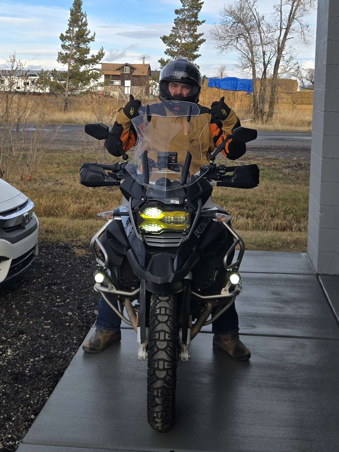
Use the form below to check in. Check-ins must include a photo of you or your bike at the challenge site with the 2025 bandanna. All participants must be registered IAMC Challenge Members. Leave a description of your ride and share road conditions — snow, water, obstacles, and tips for future riders are all appreciated.
Replying to another person's check-in is encouraged, but take care not to accidentally create your own check-in.
The stated difficulty is an estimate. Rating your experience helps future riders stay safe. You alone are responsible for the safety of your ride.
8 Check-Ins
Just puddles in the field from all the rain but thought it was worth noting a christmas day ride in 48 degree weather. Never been able to ride this late and maybe never again. Merry Christmas everyone

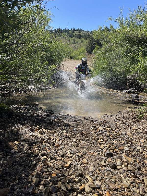
Got two crossings today. One at the Montini cabin and one at Baptism Point. Montini was a 3, baptism a 2
No drama - I got through without falling down. This was on Cow Creek Road east of Hwy 95 on the way to Wagontown Cemetery.

I went through and past Silver City looking for a longer loop up to War Eagle Mtn. Had to turn around due to a big snow drift full of some small trees. It was too tight with trees and brush and to steep to get around it. But I did find a decent creek crossing on the way up: 43.00284, -116.73668. Not too deep but long. Expand the reply to this post to see the map... X marks the spot.


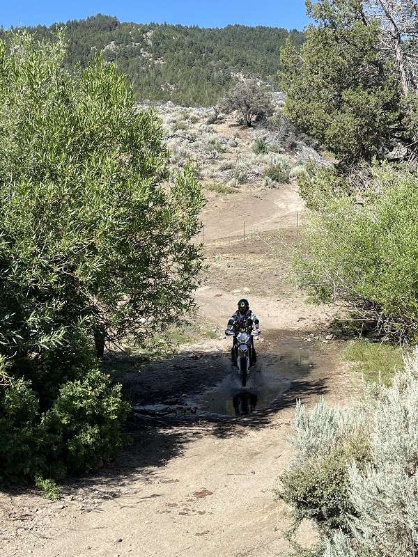
Just a small muddy creek crossing a road.
I may cross more adventurous and majestic streams this summer but for now I just wanted to get this checked off the list.
43.112733, -114.679600Elevation: 4478ft

Just puddles in the field from all the rain but thought it was worth noting a christmas day ride in 48 degree weather. Never been able to ride this late and maybe never again. Merry Christmas everyone
Got stuck
Got two crossings today. One at the Montini cabin and one at Baptism Point. Montini was a 3, baptism a 2
No drama – I got through without falling down. This was on Cow Creek Road east of Hwy 95 on the way to Wagontown Cemetery.
I went through and past Silver City looking for a longer loop up to War Eagle Mtn. Had to turn around due to a big snow drift full of some small trees. It was too tight with trees and brush and to steep to get around it. But I did find a decent creek crossing on the way up: 43.00284, -116.73668. Not too deep but long. Expand the reply to this post to see the map… X marks the spot.
Here is the map.
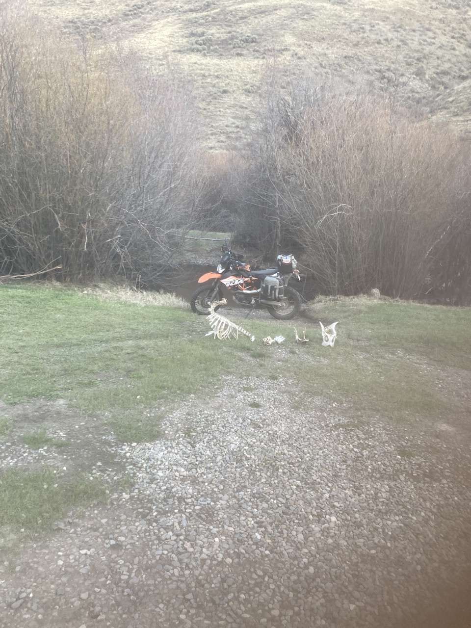
Dead Bone Creek.
not as big as last year, but it will do
Just a small muddy creek crossing a road.
I may cross more adventurous and majestic streams this summer but for now I just wanted to get this checked off the list.
43.112733, -114.679600Elevation: 4478ft
Comments are closed.