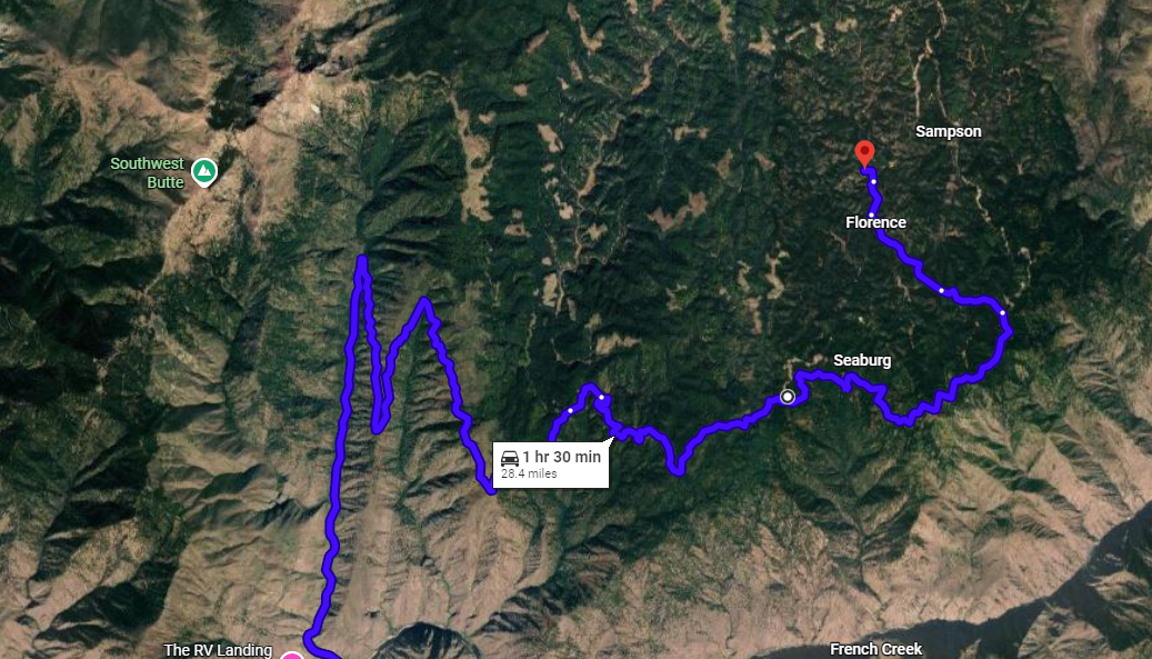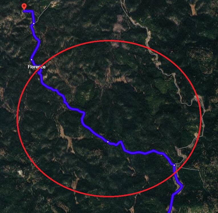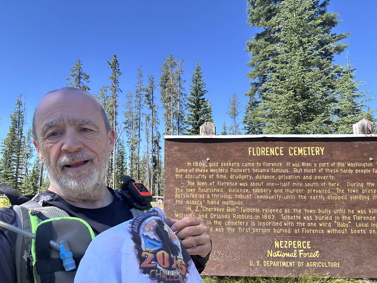
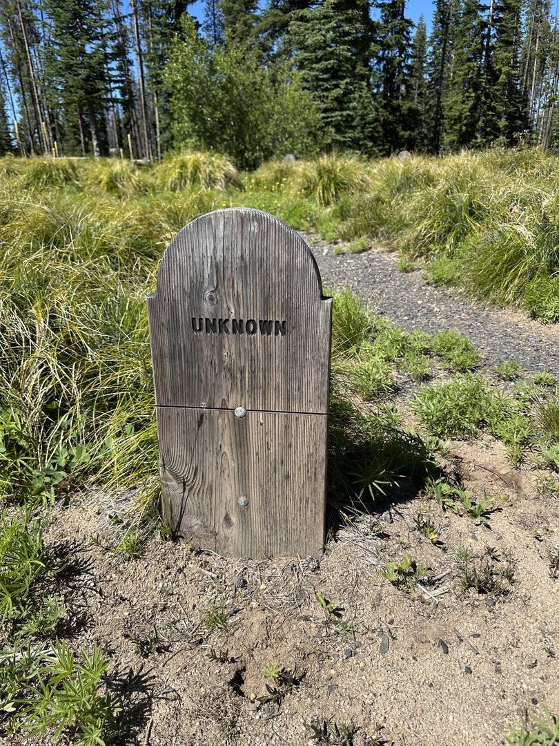
Starting at Allison Creek Picnic Area near Riggins, I set off on my 390 and decided to try the alternate FR394 as I'd heard that it might be a bit more technical than the usual route. If you ignore the sign at 45.4693520, -116.0508970 directing you to Florence (the easy way) or continue past the left at 45.484589, -115.994678, there is a pretty wild track up to the cemetery. Someone has recently been through with a chainsaw (thank you, whoever you are) and made it passable by bike. There are some pretty good steep climbs and descents and three water crossings, one of which has a log jump on the other side. I was beginning to wonder if I'd taken the right route when I popped out on Florence Road again. If in doubt, take the easy road. If you are an intermediate on a small bike or advanced on a big bike (not me), this was a lot of fun. gpx included.
Easy way 1, turn here
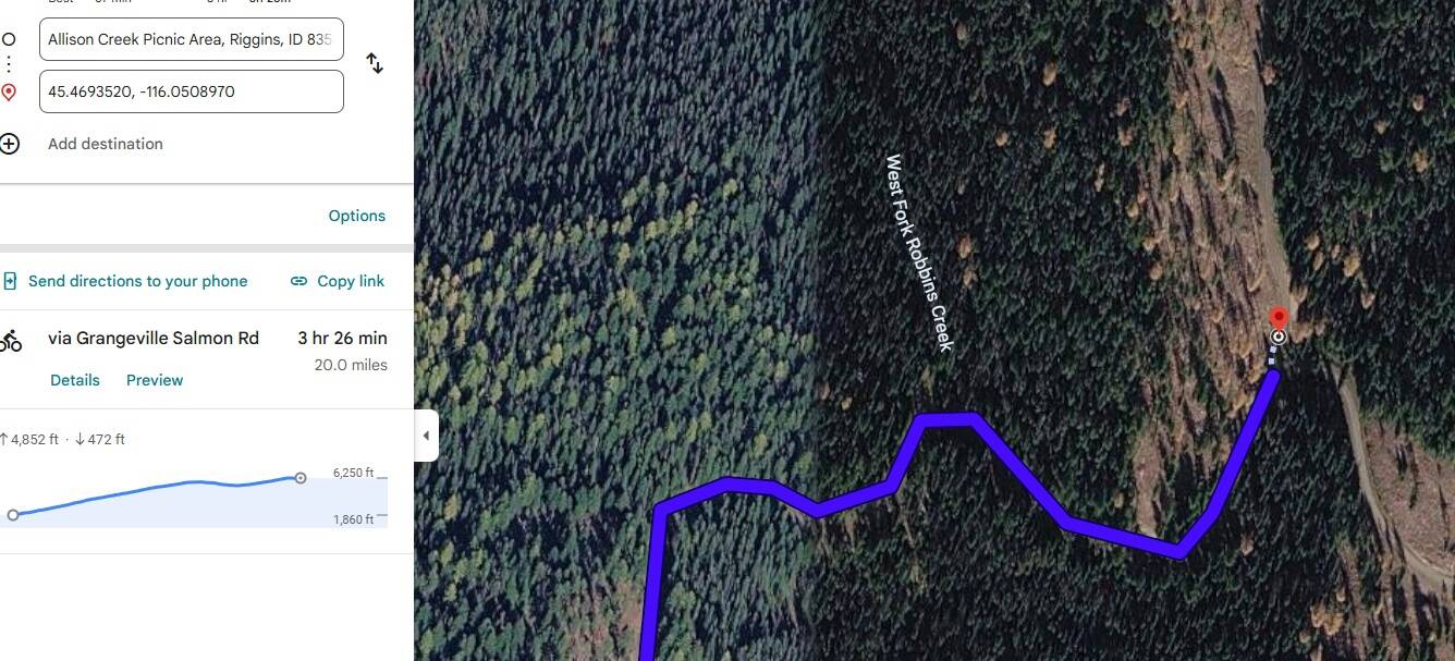
Easy way 2: follow round
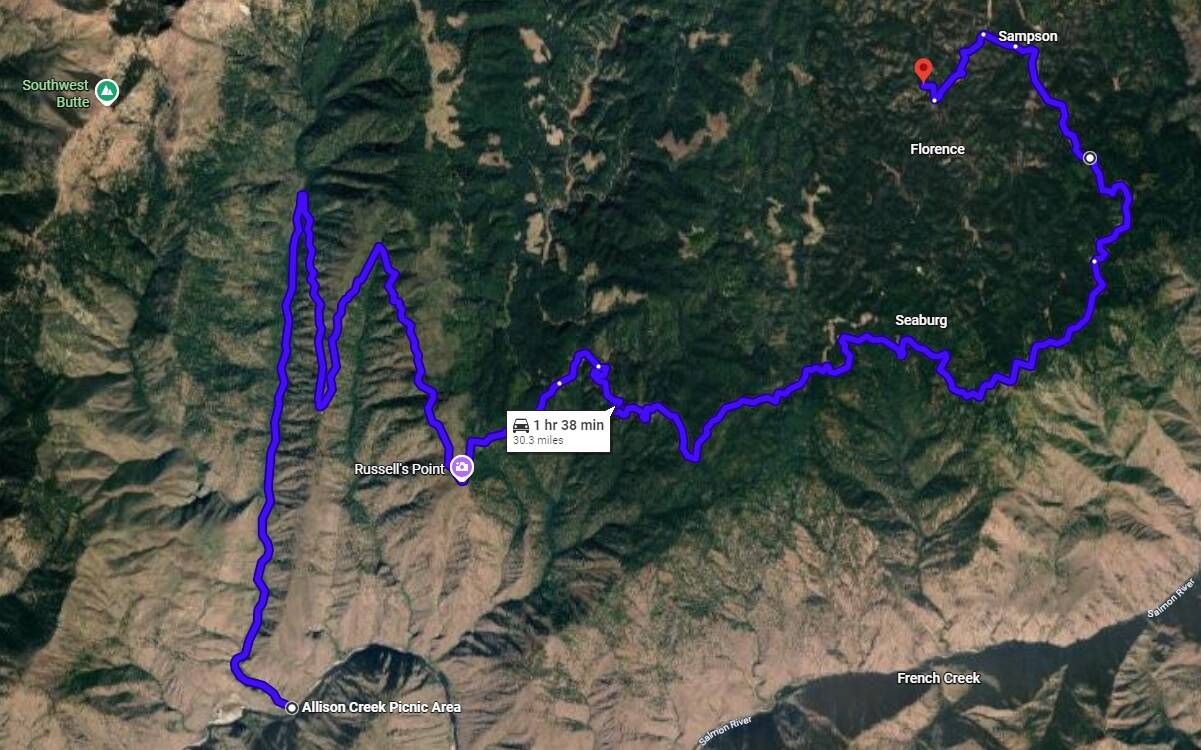
Hard way